Fort Erie in Niagara Region, Ontario — Central Canada (North America)
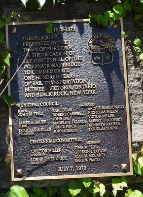
1873 - 1973 International Railway Bridge
Photographed by Kevin Westell, July 18, 2025
1. 1873 - 1973 International Railway Bridge
[The plaque lists the town council and centennial committee members.]
July 7, 1973
Erected 1973 by Town of Fort Erie.
Topics. This historical marker is listed in these topic lists: Bridges & Viaducts • Railroads & Streetcars. A significant historical year for this entry is 1873.
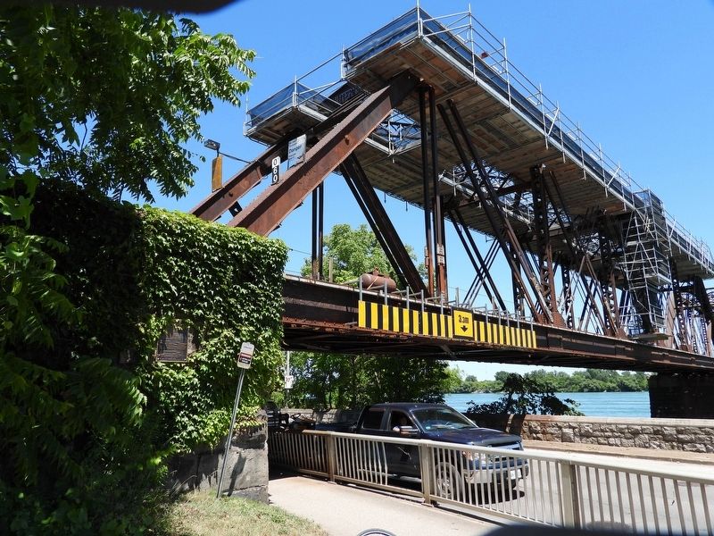
Location. 42° 55.709′ N, 78° 54.813′ W. Marker is in Fort Erie, Ontario, in Niagara Region. It is on Niagara Boulevard, on the left when traveling north. The marker is mounted on the south wall of the structure supporting the west end of the rail bridge. Touch for map. Marker is at or near this postal address: 579 Niagara Boulevard, Fort Erie ON L2A 3H2, Canada. Touch for directions.

Regionally, this marker is on the Golden Horseshoe and in Niagara Canada. It is also in Central Canada. Globally, it is in North America, on the Great Lakes, in the Western Hemisphere, in the Western World, and in the Anglosphere.
this page online
Other nearby markers. At least 8 other markers are within walking distance of this marker: Sir Casimir Gzowski (a few steps from this marker); The Mentholatum Company of Canada, Ltd. (about 180 meters away, measured in a direct line); Bertie Hall (approx. 0.4 kilometers away); 202 Dufferin Street (approx. half a kilometer away); Thunder Over the Niagara (approx. 0.6 kilometers away in the U.S.); Niagara River and her Ships (approx. 0.6 kilometers away in the U.S.); Ridgeway Station c. 1900 (approx. 0.7 kilometers away); CN Locomotive No. 6218 (1942) (approx. 0.7 kilometers away). Touch for a list and map of all markers in Fort Erie.
Also see . . . International Railway Bridge (by Wikipedia). (Submitted on June 25, 2026, by Kevin Westell of St. Catharines, Ontario.)
Photographed by Kevin Westell, July 18, 2025
2. 1873 - 1973 International Railway Bridge - Marker in context
Photographed by Kevin Westell, July 18, 2025
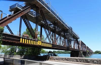
3. International Railway Bridge
Credits. This page was last revised on June 25, 2026. It was originally submitted on July 19, 2025, by Kevin Westell of St. Catharines, Ontario. This page has been viewed 76 times since then and 19 times this year. Photos: 1, 2, 3. submitted on July 19, 2025, by Kevin Westell of St. Catharines, Ontario. • Andrew Ruppenstein was the editor who published this page.
