
Wawatam Township in Mackinaw City in Cheboygan County, Michigan — The American Midwest (Great Lakes)
The Powder Magazine
Photographed by Bill Coughlin, July 13, 2025
1. The Powder Magazine Marker
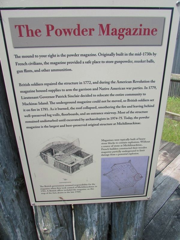
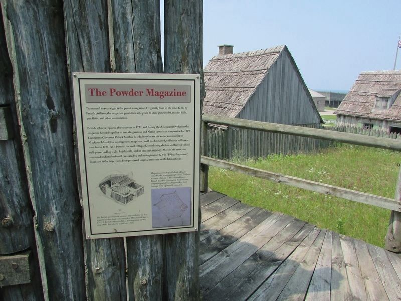
The mound to your right is the powder magazine. Originally built in the mid-1730s by French civilians, the magazine provided a safe place to store gunpowder, musket balls, gun flints, and other ammunition.
British soldiers repaired the structure in 1772, and during the American Revolution the magazine housed supplies to arm the garrison and Native American war parties. In 1779, Lieutenant Governor Patrick Sinclair decided to relocate the entire community to Mackinac Island. The underground magazine could not be moved, so British soldiers set it on fire in 1781. As it burned, the roof collapsed, smothering the fire and leaving behind well preserved log walls, floorboards, and an entrance stairway. Most of the structure remained undisturbed until excavated by archaeologists in 1974-75. Today, the powder magazine is the largest and best-preserved original structure at Michilimackinac.
Topics. This historical marker is listed in this topic list: Forts and Castles. A significant historical year for this entry is 1772.
Location. 45° 47.187′ N, 84° 44.114′ W. Marker is in Mackinaw City, Michigan, in Cheboygan County. It is in Wawatam
this page online

Regionally, this marker is in Northern Michigan Lower Peninsula, on the Straits of Mackinac, and in one of the Lake Huron Shore counties. It is also in the American Midwest. Globally, it is in North America, in the Great North Woods, on the Great Lakes, in the Western Hemisphere, in the Western World, and in the Anglosphere. Historically, it finds itself in what was once the Northwest Territory.
Other nearby markers. At least 8 other markers are within walking distance of this marker: Using the Land (within shouting distance of this marker); Encampment at Pequodenonge (within shouting distance of this marker); The Anishnaabek (within shouting distance of this marker); Anishnaabek Home (within shouting distance of this marker); Fort Michilimackinac (within shouting distance of this marker); Specialist Soldiers: The Royal Regiment of Artillery (about 300 feet away, measured in
Photographed by Bill Coughlin, July 13, 2025
2. The Powder Magazine Marker
More about this marker. An illustration of the powder magazine appears at the bottom left of the marker and includes a caption of “The British government assumed responsibility for the magazine when they took control of Michilimackinac in 1761. A British officer included the magazine on this map of the fort, drawn in the late 1760s.”
Another picture at the lower right has a caption of “Magazines were typically built of heavy stone blocks to contain explosions. Without a source of stone at Michilimackinac, French builders constructed their wooden magazine partially underground to limit damage from a potential explosion.”

Photographed by Bill Coughlin, July 13, 2025
3. The Powder Magazine Marker
Photographed by Bill Coughlin, July 13, 2025
4. The Powder Magazine
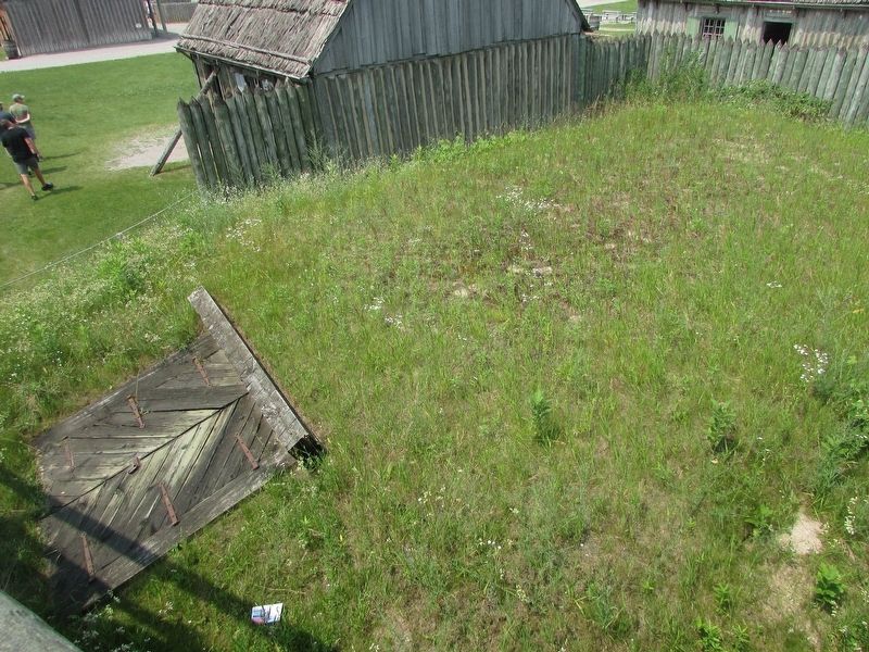
This mound marks the location of the powder magazine.
Photographed by Bill Coughlin, July 13, 2025
5. Remains of the Powder Magazine
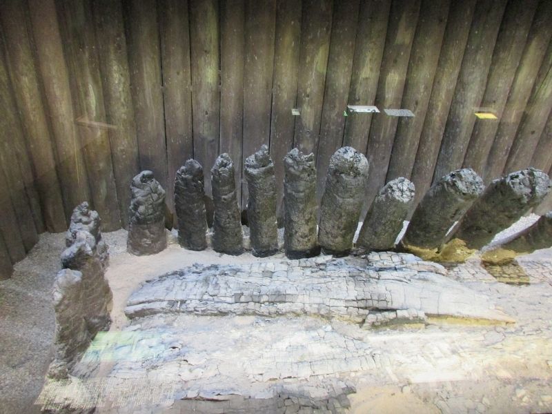
These ruins are the remains of the powder magazine after it was burned by the British in 1781.
Credits. This page was last revised on July 19, 2025. It was originally submitted on July 19, 2025, by Bill Coughlin of Woodland Park, New Jersey. This page has been viewed 97 times since then and 21 times this year. Photos: 1, 2, 3, 4, 5. submitted on July 19, 2025, by Bill Coughlin of Woodland Park, New Jersey.
