Mid City North in Baton Rouge in East Baton Rouge Parish, Louisiana — The American South (West South Central)
McDonnell F2H-2P "Banshee"
Photographed by Cajun Scrambler, July 19, 2025
1. McDonnell F2H-2P "Banshee" Marker
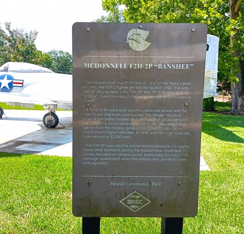
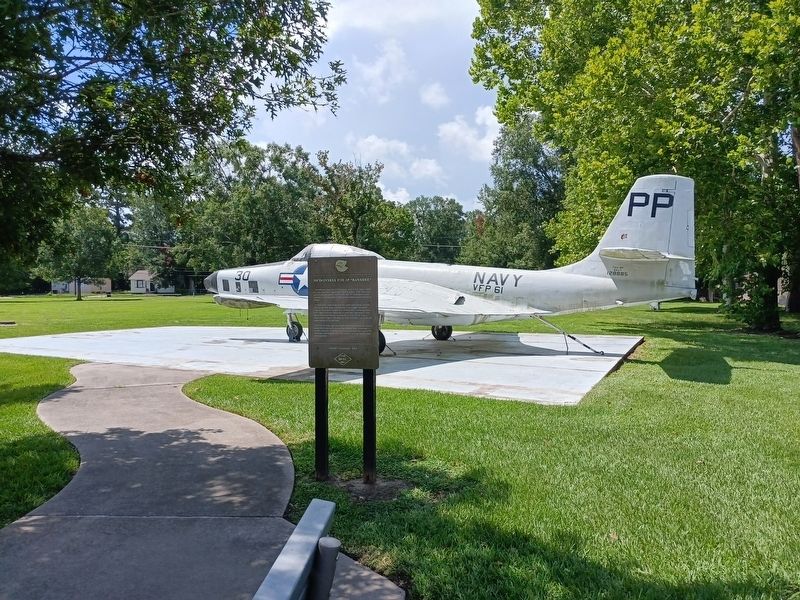
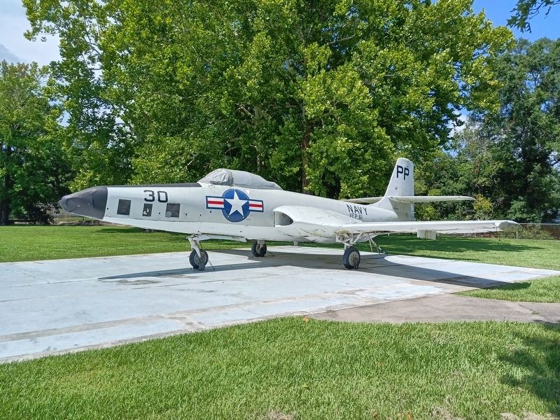
Developed from the FH Phantom, one of the Navy's earliest jets, the F2H-2 fighter jet was first built in 1950. The variant on display here is the F2H-2P, the "P" indicates photographic. It was the Navy's first jet-powered reconnaissance plane.
A total of 81 were built and this particular plane was the next to last one ever constructed. The longer "duckbill" nose of the plane housed six cameras that could be rotated in flight to shoot obliquely or vertically. Because it was lighter than the heavily armed F2H-2, the F2H-2P could reach much higher altitudes. In 1949 and F2H-1 set a jet altitude record of 52,000 feet.
The F2H-2P was used for photo reconnaissance backup to naval strike elements during the Korean War. Unarmed, it usually required an armed escort, particularly for post-strike damage assessment when the enemy was generally alert and agitated.
Erected by BREC/Howell Community Park.
Topics. This historical marker is listed in these topic lists: Air & Space • War, Korean.
Location. 30° 28.797′ N, 91° 8.207′ W. Marker is in Baton Rouge, Louisiana,
this page online

Regionally, this marker is in Louisiana’s Florida Parishes. It is also in the American South, specifically in the Deep South, and in the Great River Road Region. Globally, it is in North America, a Gulf of Mexico state, the Western Hemisphere, the Western World, and the Anglosphere. Historically, it finds itself in what was once New Spain, the territory of the Mississippian Culture, the Louisiana Purchase, one of the Confederate States of America, and the Antebellum South.
Other nearby markers. At least 8 other markers are within 3 miles of this marker, measured as the crow flies: Russell B. Long (approx. 1.8 miles away); Yellow Fever Memorial (approx. 2.8 miles away); Magnolia Cemetery (approx. 2.8 miles away); Baton Rouge National Cemetery (approx. 2.8 miles away); Massachusetts Memorial (approx. 2.8 miles away); A National Cemetery System (approx. 2.9 miles away); Genl. Philemon Thomas
Photographed by Cajun Scrambler, July 19, 2025
2. McDonnell F2H-2P "Banshee" Marker
Another marker is no longer nearby. Baton Rouge High School (was approx. 2.8 miles away but has been confirmed missing).
More about this marker. Address given is for Howell Park Winbourne Ave. entrance
Photographed by Cajun Scrambler, July 19, 2025
3. McDonnell F2H-2P "Banshee" Marker
Credits. This page was last revised on July 20, 2025. It was originally submitted on July 20, 2025, by Cajun Scrambler of Assumption, Louisiana. This page has been viewed 124 times since then and 22 times this year. Photos: 1, 2, 3. submitted on July 20, 2025, by Cajun Scrambler of Assumption, Louisiana.
