Southampton City Centre , England, United Kingdom — Northwestern Europe (the British Isles)
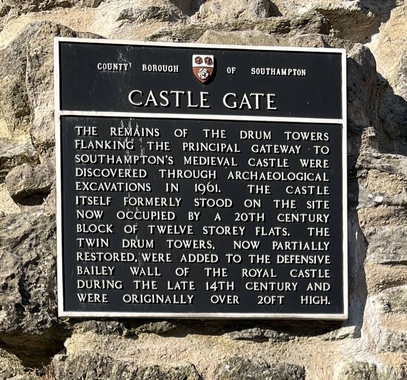
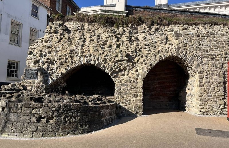
Castle Gate
Photographed by Ray Gurganus, April 1, 2025
1. Castle Gate Marker
Erected by County Borough of Southampton.
Topics. This historical marker is listed in this topic list: Forts and Castles.
Location. 50° 54.081′ N, 1° 24.299′ W. Marker is in Southampton, England. It is in Southampton City Centre. It is at the intersection of Castle Lane and Castle Way, on the right when traveling west on Castle Lane. Touch for map. Marker is in this post office area: Southampton, England SO14, United Kingdom. Touch for directions.

Regionally, this marker is in the Hampshire Ports. Globally, it is on the Atlantic Ocean, in the North Atlantic Region, in Europe, in Atlantic Europe, on one of the British Isles, in the
this page online
Other nearby markers. At least 8 other markers are within walking distance of this marker: All Saints Church (about 90 meters away, measured in a direct line); Defence of the Town (about 150 meters away); Town Walls (about 150 meters away); Jane Austen (about 150 meters away); Arundel Tower (about 150 meters away); A Fashionable Resort (about 150 meters away); Bargate and Guildhall (about 180 meters away); Southampton in the Second World War 1939-1945 (about 180 meters away). Touch for a list and map of all markers in Southampton.
Photographed by Ray Gurganus, April 1, 2025
2. Castle Gate Marker
Credits. This page was last revised on July 20, 2025. It was originally submitted on July 20, 2025, by Ray Gurganus of Washington, District of Columbia. This page has been viewed 89 times since then and 16 times this year. Photos: 1, 2. submitted on July 20, 2025, by Ray Gurganus of Washington, District of Columbia. • Andrew Ruppenstein was the editor who published this page.
