Milford Mine Memorial Park near Wolford in Crow Wing County, Minnesota — The American Midwest (Upper Plains)
Cuyuna Iron Range Railway: Spanning Rivers, Lakes, & Wetlands
| — | Milford Mine Memorial Park | — |
Photographed by McGhiever, June 27, 2025
1. Cuyuna Iron Range Railway: Spanning Rivers, Lakes, & Wetlands Marker
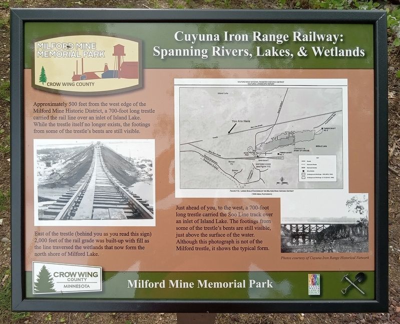
Approximately 500 feet from the west edge of the Milford Mine Historic District, a 700-foot long trestle carried the rail line over an inlet of Island Lake. While the trestle itself no longer exists, the footings from some of the trestle's bents are still visible.
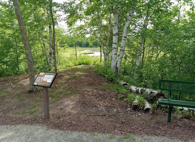
East of the trestle (behind you as you read this sign) 2,000 feet of the rail grade was built-up with fill as the line traversed the wetlands that now form the north shore of Milford Lake.
Just ahead of you, to the west, a 700-foot long trestle carried the Soo Line track over an inlet of Island Lake. The footings from some of the trestle's bents are still visible, just above the surface of the water. Although this photograph is not of the Milford trestle, it shows the typical form.
Photo courtesy of Cuyuna Iron Range Historical Network
Erected by Crow Wing County.
Topics. This historical marker is listed in these topic lists: Bridges & Viaducts • Railroads & Streetcars.
Location. 46° 32.183′ N, 93° 58.493′ W. Marker is near Wolford, Minnesota, in Crow Wing County. It is in Milford Mine Memorial
this page online

Regionally, this marker is in the Northland. It is also in the American Midwest, in the Corn Belt, and in the Great River Road Region. Globally, it is in North America, the Great North Woods, the Western Hemisphere, the Western World, and the Anglosphere. Historically, it finds itself in what was once Rupert’s Land, the territory of the Mississippian Culture, and the Northwest Territory.
Other nearby markers. At least 8 other markers are within walking distance of this marker: Dikes (within shouting distance of this marker); Soo Line Railroad Hauls Cuyuna Ore (about 600 feet away, measured in a direct line); Railroad Construction on the Cuyuna Range (about 600 feet away); Barrow Pits for Rail Grade & Road Construction (about 700 feet away); Mud Run, Launder & Dikes (about 700 feet away); Storage Facility (about 700 feet away); Milford Lake: Then & Now (about 800 feet away); Mine Shaft Entrance
Photographed by McGhiever, June 27, 2025
2. Cuyuna Iron Range Railway Marker
Credits. This page was last revised on July 20, 2025. It was originally submitted on July 20, 2025, by McGhiever of Minneapolis, Minnesota. This page has been viewed 134 times since then and 26 times this year. Photos: 1, 2. submitted on July 20, 2025, by McGhiever of Minneapolis, Minnesota.
