Rotherham in South Yorkshire, England, United Kingdom — Northwestern Europe (the British Isles)
Chantry Bridge
Photographed by Ray Gurganus, April 20, 2025
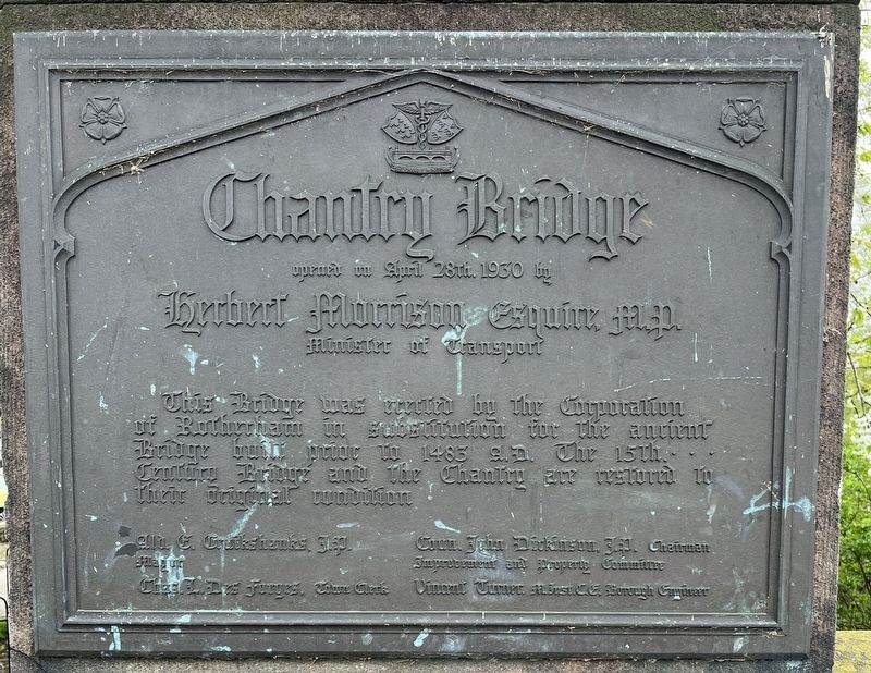
1. Chantry Bridge Marker
opened on April 28th 1930 by
Herbert Morrison, Esquire M.P.
Minister of Transport
This Bridge was erected by the Corporation of Rotherham in substitution for the ancient bridge built prior to 1483 A.D. The 15th century bridge and the Chantry are restored to their original condition.
Ald. E. Cruickshanks, J.P., Mayor
Charles L. Des Forges, Town Clerk
Coun. John Dickinson, J.P., Chairman Improvement and Property Committee
Vincent Turner, M. Inst. C.E. Borough Engineer
Topics. This historical marker is listed in this topic list: Bridges & Viaducts. A significant historical year for this entry is 1930.
Location. 53° 25.946′ N, 1° 21.506′ W. Marker is in Rotherham, England, in South Yorkshire. It is on Bridge Street, on the left when traveling west. Touch for map. Marker is in this post office area: Rotherham, England S60 1RB, United Kingdom. Touch for directions.

Regionally, this marker is in Yorkshire & The Humber. Globally, it is on the Atlantic Ocean, in the North Atlantic Region, in Europe, in Atlantic Europe, on one of the British Isles, in the Western World, and in the Anglosphere. Historically,
this page online
Other nearby markers. At least 8 other markers are within 10 kilometers of this marker, measured as the crow flies: The Forge (within shouting distance of this marker); Tommy James (about 180 meters away, measured in a direct line); The Old Market (about 210 meters away); Rotherham Parish Church (about 210 meters away); Welcome to Rotherham Minster (approx. 0.2 kilometers away); Tudor Square (approx. 9.2 kilometers away); Heads or Tails? (approx. 9.3 kilometers away); Leopold Street (approx. 9.4 kilometers away). Touch for a list and map of all markers in Rotherham.
Photographed by Ray Gurganus, April 20, 2025
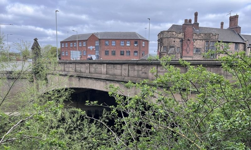
2. Chantry Bridge
Credits. This page was last revised on July 23, 2025. It was originally submitted on July 23, 2025, by Ray Gurganus of Washington, District of Columbia. This page has been viewed 145 times since then and 25 times this year. Photos: 1, 2. submitted on July 23, 2025, by Ray Gurganus of Washington, District of Columbia. • Andrew Ruppenstein was the editor who published this page.
