Pontefract in West Yorkshire, England, United Kingdom — Northwestern Europe (the British Isles)
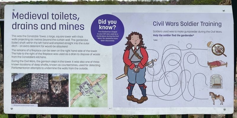
Medieval toilets, drains and mines
Pontefract Castle
Photographed by Ray Gurganus, April 16, 2025
1. Medieval toilets, drains and mines Marker
The remains of a fireplace can be seen on the right hand side of the tower. The hole to the right of the fireplace was used as a drain to dispose of waste from the Constable's kitchens.
During the Civil Wars, the garrison slept in the tower. It was also one of three known locations of deep shafts, known as countermines, used for detecting Parliamentarian attempts to undermine the walls from the outside.
Did you know?
The Elizabethan Chapel to your left was used as a burial place during the Civil Wars. Six skeletons have been discovered.
Topics and series. This historical marker is listed in this topic list: Forts and Castles. In addition, it is included in the If You've Got to Go... series list.
Location. 53° 41.748′ N, 1° 18.2′ W. Marker is in Pontefract, England, in West Yorkshire. It can be reached from Castle
this page online

Regionally, this marker is in Yorkshire & The Humber. Globally, it is on the Atlantic Ocean, in the North Atlantic Region, in Europe, in Atlantic Europe, on one of the British Isles, in the Western World, and in the Anglosphere. Historically, it finds itself in what was once the Roman Empire.
Other nearby markers. At least 8 other markers are within walking distance of this marker: Off with their heads! (a few steps from this marker); The Key to the North (within shouting distance of this marker); Heard the one about the Trojan Bed? (within shouting distance of this marker); A Secure Store (within shouting distance of this marker); Herb Garden (within shouting distance of this marker); Pretty (hot) in pink (within shouting distance of this marker); Kirkebi Anglo Saxon Church (within shouting distance of this marker); Welcome to one of England's largest castles (about 90 meters away, measured in a direct line). Touch for a list and map
Photographed by Ray Gurganus, April 16, 2025
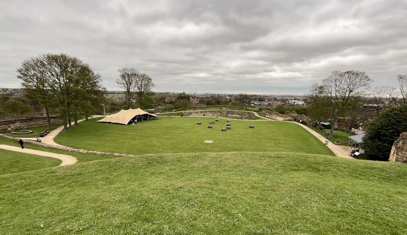
2. Pontefract Castle courtyard
Credits. This page was last revised on July 23, 2025. It was originally submitted on July 23, 2025, by Ray Gurganus of Washington, District of Columbia. This page has been viewed 73 times since then and 22 times this year. Photos: 1, 2. submitted on July 23, 2025, by Ray Gurganus of Washington, District of Columbia. • Andrew Ruppenstein was the editor who published this page.
