Stratford in Perth County, Ontario — Central Canada (North America)
The Bandshell
1929
| — | A property designated under the Ontario Heritage Act 1974 | — |
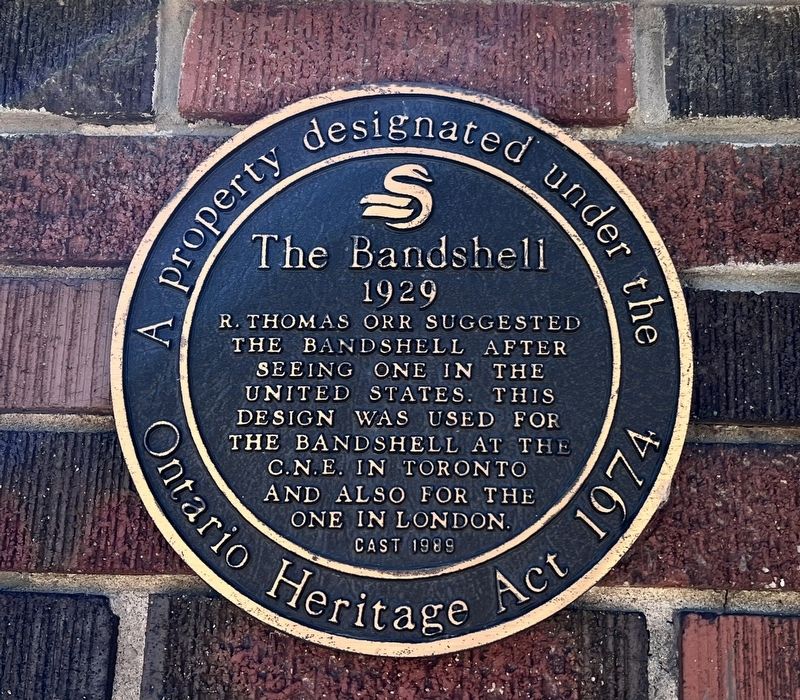
Photographed by Tim Boyd, July 18, 2025
1. The Bandshell Marker
Erected 1989 by City of Stratford.
Topics. This historical marker is listed in these topic lists: Architecture • Entertainment. A significant historical year for this entry is 1929.
Location. 43° 22.368′ N, 80° 58.866′ W. Marker is in Stratford, Ontario, in Perth County. It is on Veterans Drive, on the left when traveling east. Touch for map. Marker is at or near this postal address: 37 Veterans Drive, Stratford ON N5A 4X9, Canada. Touch for directions.

Regionally, this marker is in the Huron-Perth-Waterloo-Wellington Area and in Southwestern Ontario. It is also in Central Canada. Globally, it is in North America, the Western Hemisphere, the Western World, and the Anglosphere. Historically, it finds itself in what was once a British colony, the Viceroyalty of New France, the Haudenosaunee (Iroquois) Confederacy, and Rupert’s Land.
Other nearby markers. At least 8 other markers are within walking distance of this marker:
this page online
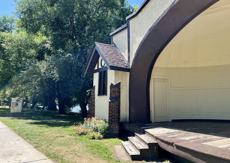
Photographed by Tim Boyd, July 18, 2025
2. The Bandshell Marker (centre of photo)
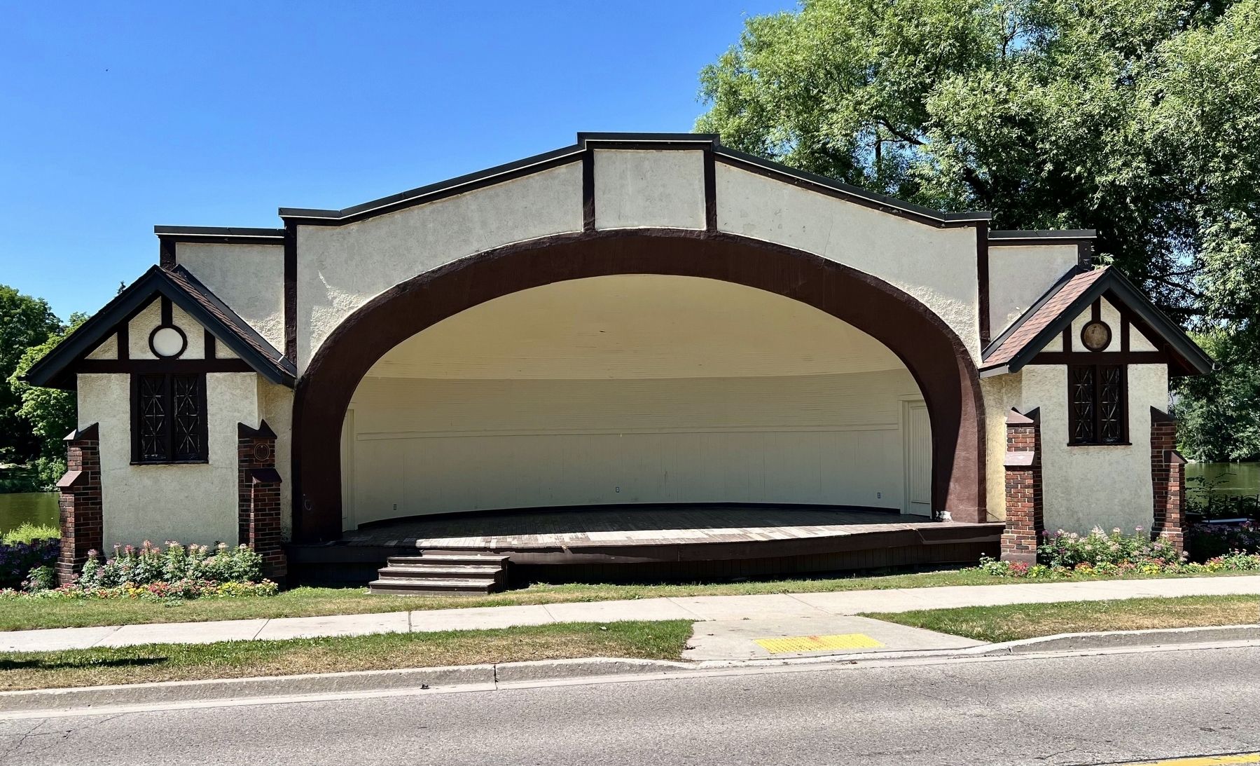
Photographed by Tim Boyd, July 18, 2025
3. The Stratford Bandshell in 2025
Credits. This page was last revised on July 23, 2025. It was originally submitted on July 23, 2025, by Tim Boyd of Hamilton, Ontario. This page has been viewed 106 times since then and 34 times this year. Photos: 1, 2, 3. submitted on July 23, 2025, by Tim Boyd of Hamilton, Ontario. • Andrew Ruppenstein was the editor who published this page.
