Wedron in LaSalle County, Illinois — The American Midwest (Great Lakes)
Charles A. Lindbergh
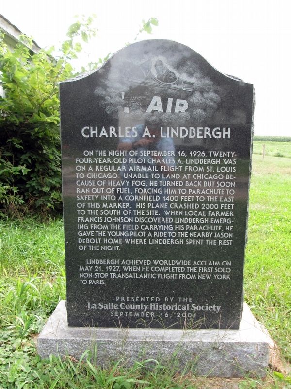
Photographed by Patricia Dalman Knight, August 30, 2014
1. Charles A. Lindbergh Marker
On the night of September 16, 1926, twenty-four-year-old pilot Charles A. Lindbergh was on a regular airmail flight from St. Louis to Chicago. Unable to land at Chicago because of heavy fog, he turned back but soon ran out of fuel, forcing him to parachute to safety into a cornfield 1400 feet to the east of this marker. His plane crashed 2300 feet to the south of the site. When local farmer Francis Johnson discovered Lindbergh emerging from the field carrying his parachute, he gave the young pilot a ride to the nearby Jason DeBolt home where Lindbergh spent the rest of the night. Lindbergh achieved worldwide acclaim on May 21, 1927, when he completed the first solo non-stop transatlantic flight from New York to Paris.
Erected 2001 by La Salle County Historical Society.
Topics. This historical marker is listed in this topic list: Air & Space. A significant historical date for this entry is September 16, 1926.
Location. 41° 25.321′ N, 88° 46.233′ W. Marker is in Wedron, Illinois, in LaSalle County. It is on North 3372nd Road west of East 2153rd Road, on the right when traveling west. Touch for map. Marker is at or near this postal
this page online

Regionally, this marker is in Northern Illinois and specifically in the Illinois River Valley. It is also in the American Midwest and in the Corn Belt. Globally, it is in North America, the Western Hemisphere, the Western World, and the Anglosphere. Historically, it finds itself in what was once the territory of the Mississippian Culture and also the Northwest Territory.
Other nearby markers. At least 8 other markers are within 7 miles of this marker, measured as the crow flies: “Norsk Story” (approx. 5.6 miles away); Cleng Peerson (approx. 5.6 miles away); O'Conor House (approx. 5.9 miles away); 626 Chapel St. (approx. 6 miles away); 622 Chapel St. (approx. 6 miles away); Illinois and Michigan Canal (approx. 6 miles away); 704 Orleans St. (approx. 6.2 miles away); Illinois Appellate Court (approx. 6.2 miles away).
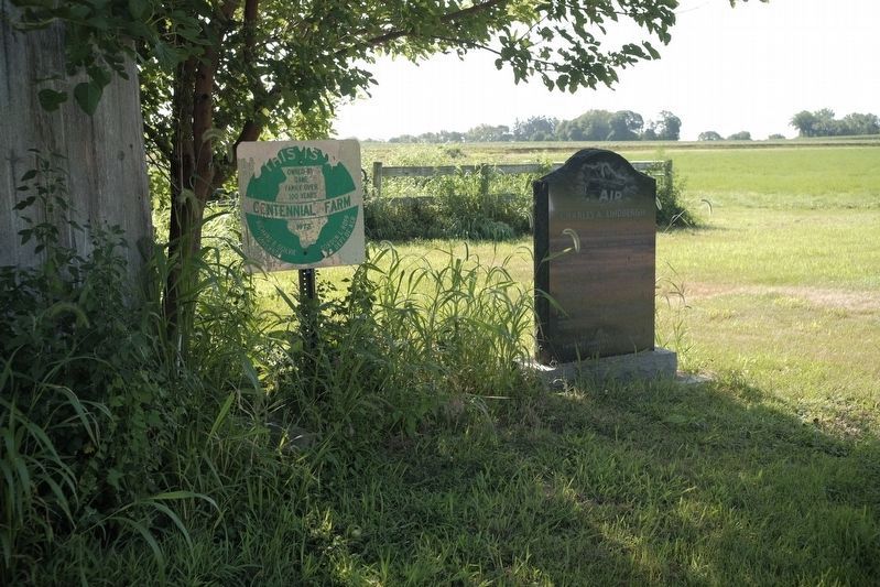
Photographed by Kent Vanderploeg, July 23, 2026
2. Charles A. Lindbergh Marker
Credits. This page was last revised on July 27, 2026. It was originally submitted on July 23, 2025, by Patricia Dalman Knight of West Chicago, Illinois. This page has been viewed 164 times since then and 77 times this year. Last updated on July 27, 2026, by Kent Vanderploeg of Channahon, Illinois. Photos: 1. submitted on July 23, 2025, by Patricia Dalman Knight of West Chicago, Illinois. 2. submitted on July 27, 2026, by Kent Vanderploeg of Channahon, Illinois. • Devry Becker Jones was the editor who published this page.
