Chichester in West Sussex, England, United Kingdom — Northwestern Europe (the British Isles)
AD 280 - The Emperor's seal of approval
| — | Chichester City Walls | — |

Photographed by Ray Gurganus, April 4, 2025
1. AD 280 - The Emperor's seal of approval Marker
Topics. This historical marker is listed in this topic list: Forts and Castles. A significant historical year for this entry is 280 CE.
Location. 50° 50.363′ N, 0° 46.466′ W. Marker is in Chichester, England, in West Sussex. It is on New Park Road. Touch for map. Marker is at or near this postal address: 16 New Park Road, Chichester, England PO19 1NL, United Kingdom. Touch for directions.

Regionally, this marker is in the Greater South East. Globally, it is on the Atlantic Ocean, in the North Atlantic Region, in Europe, in Atlantic Europe, on one of the British Isles, in the Western World, and in the Anglosphere. Historically, it finds itself
this page online
Other nearby markers. At least 8 other markers are within walking distance of this marker: 1100 - Creation of a city (within shouting distance of this marker); 1800s - A new use for the walls (about 120 meters away, measured in a direct line); The Guildhall (about 150 meters away); Priory Park Orchard (about 210 meters away); Garden of Reflection and Reconciliation (approx. 0.3 kilometers away); Chichester War Memorial (approx. 0.3 kilometers away); Litten Gardens (approx. 0.3 kilometers away); Lance Corporal Maurice Patten (approx. 0.3 kilometers away). Touch for a list and map of all markers in Chichester.
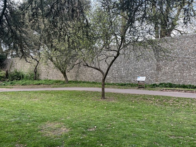
Photographed by Ray Gurganus, April 4, 2025
2. The Emperor's seal of approval Marker
Credits. This page was last revised on July 29, 2025. It was originally submitted on July 23, 2025, by Ray Gurganus of Washington, District of Columbia. This page has been viewed 81 times since then and 14 times this year. Photos: 1. submitted on July 23, 2025, by Ray Gurganus of Washington, District of Columbia. 2. submitted on July 24, 2025, by Ray Gurganus of Washington, District of Columbia. • Andrew Ruppenstein was the editor who published this page.
