Beverly Hills in Los Angeles County, California — The American West (Pacific Coastal)
Morocco Junction
Beverly Hills
| — | Golden Shield Commemorative Plaque | — |
Photographed by Craig Baker, July 20, 2025
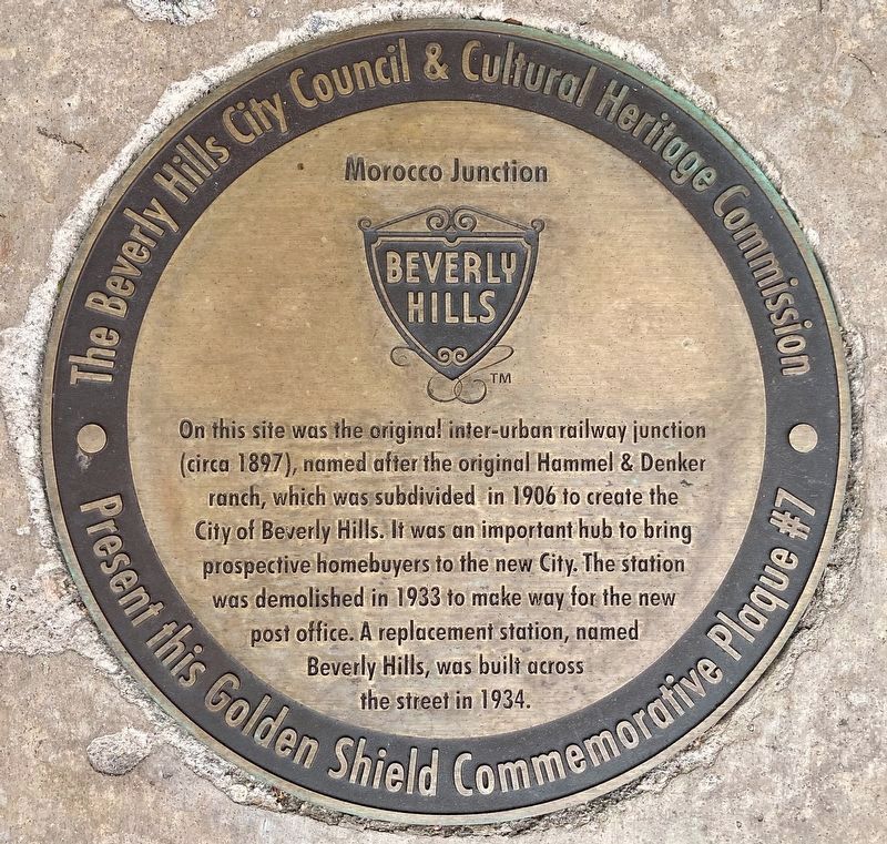
1. Morocco Junction Marker
On this site was the original inter-urban railway junction (circa 1897), named after the original Hammel & Denker ranch, which was subdivided in 1906 to create the City of Beverly Hills. It was an important hub to bring prospective homebuyers to the new City. The station was demolished in 1933 to make way for the new post office. A replacement station, named Beverly Hills, was built across the street in 1934.
Erected by City of Beverly Hills. (Marker Number 7.)
Topics. This historical marker is listed in these topic lists: Railroads & Streetcars • Settlements & Settlers. A significant historical year for this entry is 1897.
Location. 34° 4.332′ N, 118° 24.137′ W. Marker is in Beverly Hills, California, in Los Angeles County. It is on Canon Drive near Santa Monica Boulevard, on the left when traveling south. Touch for map. Marker is at or near this postal address: 9390 N Santa Monica Blvd, Beverly Hills CA 90210, United States of America. Touch for directions.

Regionally, this marker is in Greater Los Angeles and in the Transverse Ranges. It is also on the American Pacific Coast. Globally, it is
this page online
Other nearby markers. At least 8 other markers are within walking distance of this marker: Beverly Hills Main Post Office (within shouting distance of this marker); Lily Pond (about 300 feet away, measured in a direct line); Edelweiss Chocolates (about 300 feet away); Moreton Bay Fig (about 400 feet away); Ah Fong's (about 400 feet away); Morton Bay Fig (about 500 feet away); Pioneer Hardware Store (about 600 feet away); Harry Harris Shoes (about 600 feet away). Touch for a list and map of all markers in Beverly Hills.
Regarding Morocco Junction. In early 1888, landowners and hoteliers Hammel & Denker envisioned a townsite called Morocco at what is today Beverly Hills. After the great land boom waned in late 1888, the proposed townsite never materialized. At the time, the railway line between Los Angeles and Santa Monica had little reason to stop for passengers in or around the area. Hammel & Denker
Photographed by Craig Baker, July 20, 2025
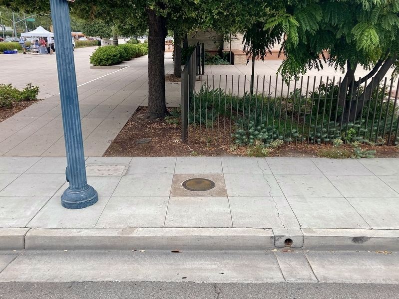
2. Morocco Junction Marker
The former Post Office is in the background.
courtesy Beverlyhills.org
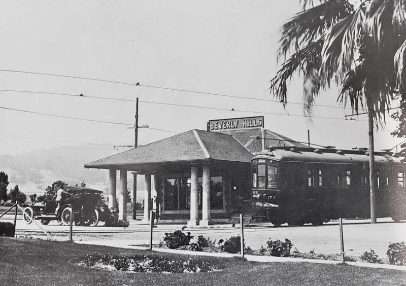
3. Beverly Hills Station
courtesy Beverlyhills.org
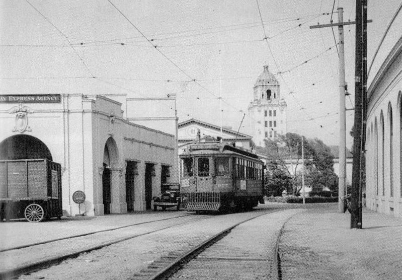
4. Beverly Hills Station
City Hall is in the background.
Credits. This page was last revised on July 24, 2025. It was originally submitted on July 24, 2025, by Craig Baker of Sylmar, California. This page has been viewed 322 times since then and 95 times this year. Photos: 1, 2, 3, 4. submitted on July 24, 2025, by Craig Baker of Sylmar, California.
