Marker Logo
THE HISTORICAL
MARKER DATABASE
“Bite-Size Bits of Local, National, and Global History”
Perryville in Perry County, Missouri — The American Midwest (Upper Plains)
 

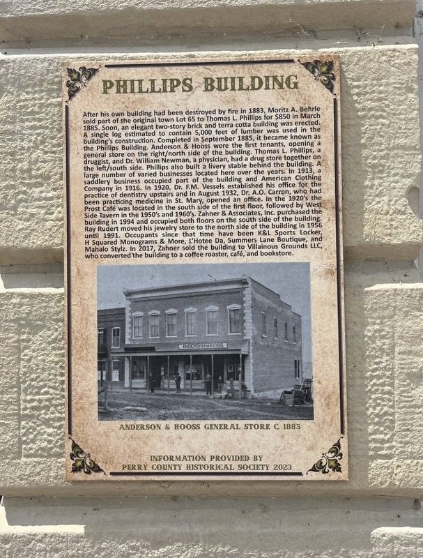
Phillips Building
 
 
Phillips Building Marker image. Click for full size.
Photographed by Thomas Smith, July 19, 2025
1. Phillips Building Marker
Inscription. After his own building had been destroyed by fire in 1883, Morita A. Behre sold part of the original town Lot 65 to Thomas L. Phillips for $850 in March 1885. Soon, an elegant two-story brick and terra cotta building was erected. A single log estimated to contain 5,000 feet of lumber was used in the building's construction. Completed in September 1885, it became known as the Phillips Building. Anderson & Hooss were the first tenants, opening a general store on the right/north side of the building. Thomas L. Philips, a druggist, and Dr. William Newman, a physician, had a drug store together on the left/south side. Phillips also built a livery stable behind the building. A large number of varied businesses located here over the years. In 1913, saddlery business occupied part of the building and American Clothing Company in 1916. In 1920, Dr. F.M. Vessels established his office for the practice of dentistry upstairs and in August 1932, Dr. A.0. Carron, who had been practicing medicine in St. Mary, opened an office. In the 1920's the Prost Cafe was located in the south side of the first floor, followed by West Side
Paid Advertisement
Click or scan to see
this page online
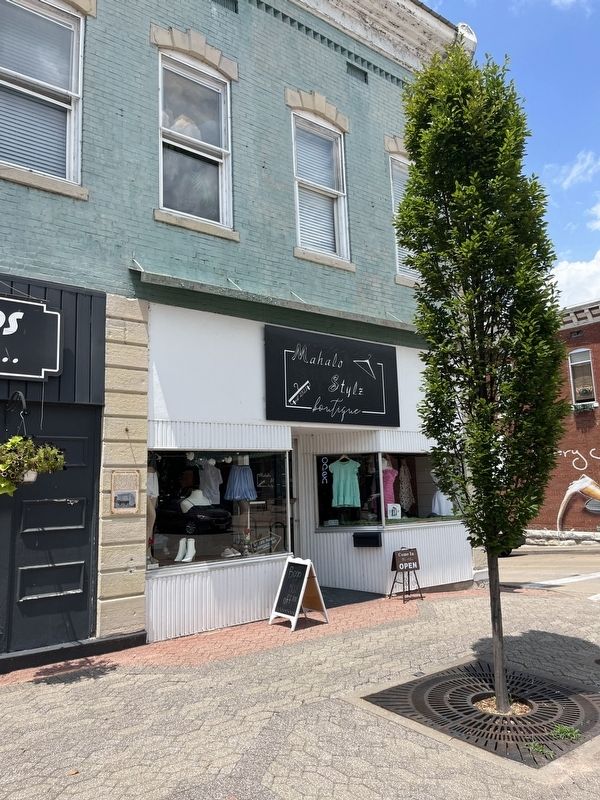
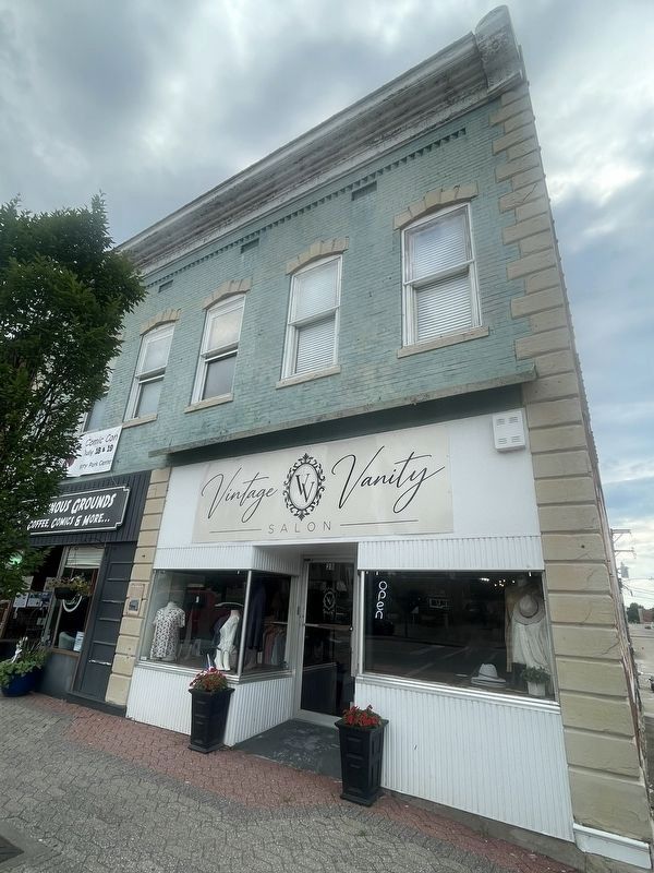
Tavern in the 1950's and 1960's. Zahner & Associates, Inc. purchased the building in 1994 and occupied both floors on the south side of the building. Ray Rudert moved his jewelry store to the north side of the building in 1956 un 1991, Occupants since that time have been K&L Sports Locker, H Squared Monograms & More, L'Hotee Da, Summers Lane Boutique, and Mahalo Stylz. In 2017, Zahner sold the building to Villainous Grounds LLC, who converted the building to a coffee roaster, cafe, and bookstore.
 
Topics. This historical marker is listed in this topic list: Industry & Commerce. A significant historical year for this entry is 1883.
 
Location. 37° 43.54′ N, 89° 51.825′ W. Marker is in Perryville, Missouri, in Perry County. It is at the intersection of N. Jackson Street and W. St. Marie Street, on the right when traveling south on N. Jackson Street. Next to 24 N. Jacksom, across from Perry County Courthouse. Touch for map. Marker is at or near this postal address: 26 N Jackson Street, Perryville MO 63775, United States of America. Touch for directions.

Regionally, this marker is in Southeast Missouri. It is also in the American Lewis
Phillips Building Marker image. Click for full size.
Photographed by Thomas Smith, July 19, 2025
2. Phillips Building Marker
& Clark Corridor, in the Corn Belt, and in the Great River Road Region. Globally, it is in North America, the Western Hemisphere, the Western World, and the Anglosphere. Historically, it finds itself in what was once the Viceroyalty of New France, the territory of the Mississippian Culture, the Louisiana Purchase, and the Antebellum South.

Other nearby markers. At least 8 other markers are within walking distance of this marker: Kiesler Building (a few steps from this marker); Morton Building (within shouting distance of this marker); Mercier Building (within shouting distance of this marker); El Camino Real (within shouting distance of this marker); Capt. Raymond Littge (within shouting distance of this marker); Herbst Building (within shouting distance of this marker); In Honor of those who served in the Military Forces of America (within shouting distance of this marker); Great American Eclipse of 2017 (within shouting distance of this marker). Touch for a list and map of all markers in Perryville.
 
Phillips Building Marker image. Click for full size.
Photographed by Thomas Smith, July 19, 2025
3. Phillips Building Marker
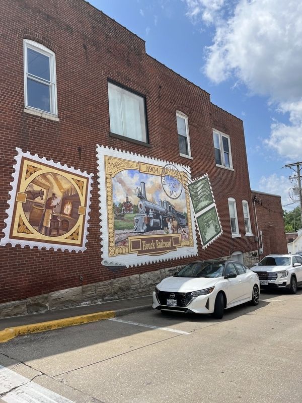
On Side of the Building
 
 
Credits. This page was last revised on July 30, 2025. It was originally submitted on July 24, 2025, by Thomas Smith of Waterloo, Ill. This page has been viewed 106 times since then and 21 times this year. Photos:   1, 2, 3. submitted on July 24, 2025, by Thomas Smith of Waterloo, Ill. • Andrew Ruppenstein was the editor who published this page.

m=279599

CeraNet Cloud Computing sponsors the Historical Marker Database.
This website earns income from purchases you make after using our links to Amazon.com. We appreciate your support.
Paid Advertisement
Jul. 7, 2026