Port Colborne in Niagara Region, Ontario — Central Canada (North America)
Imperial Bank of Canada Building
1905-1980
Photographed by Tim Boyd, March 14, 2025
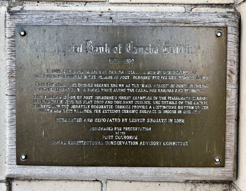
1. Imperial Bank of Canada Building Marker
In 1905, the Imperial Bank of Canada created a stir by purchasing the "best business corner in the Village of Port Colborne" for its new branch office.
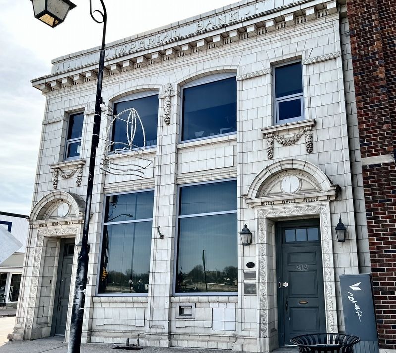
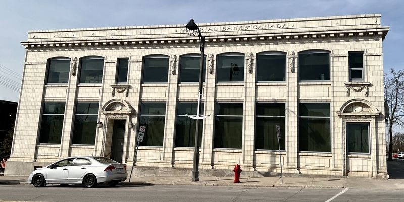
Over the years the corner became known as the “Wall Street" of Port Colborne and continues to be a focal point along the canal for sailors and tourists. This building is one of Port Colborne’s finest examples of the Italianate classic revival style with its flat roof and dominant cornice. The details of the arched windows and the ornately decorated cornice provide a distinctive rhythm to the south and east facades. The exterior ceramic surface is unique in our city.
Purchased and renovated by Lester Shoalts in 1982
Designated for preservation by the Port Colborne Local Architectural Conservation Advisory Committee
Topics. This historical marker is listed in these topic lists: Architecture • Industry & Commerce. A significant historical year for this entry is 1905.
Location. 42° 53.12′ N, 79° 15.002′ W. Marker is in Port Colborne, Ontario, in Niagara Region. It is at the intersection of West Street and Charlotte Street, on the right when traveling south on West
this page online

Regionally, this marker is on the Golden Horseshoe and in Niagara Canada. It is also in Central Canada. Globally, it is in North America, on the Great Lakes, in the Western Hemisphere, in the Western World, and in the Anglosphere. Historically, it finds itself in what was once a British colony, the Viceroyalty of New France, the Haudenosaunee (Iroquois) Confederacy, and Rupert’s Land.
Other nearby markers. At least 8 other markers are within walking distance of this marker: Imperial Bank c.1911 (here, next to this marker); Crossing The Canal / La Traversé Du Canal (within shouting distance of this marker); The Welland Canal (about 150 meters away, measured in a direct line); Founding of Port Colborne (about 150 meters away); Warriors Day Commemoration (about 210 meters away); Port Colborne and the Niagara St. Catharines and Toronto Railway (NS&T) (about 210 meters away); King George Memorial Park War Memorial (about 240 meters away); Welland Canals / Les Canaux Welland (approx.
Photographed by Tim Boyd, March 14, 2025
2. Imperial Bank of Canada Building Marker
The marker is the lowest plaque on the left of the doorway.
Photographed by Kevin Westell, July 21, 2025
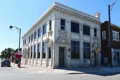
3. Imperial Bank of Canada Building
Photographed by Tim Boyd, March 14, 2025
4. The former Imperial Bank of Canada Building, 2025
Credits. This page was last revised on July 25, 2025. It was originally submitted on March 18, 2025, by Tim Boyd of Hamilton, Ontario. This page has been viewed 295 times since then and 60 times this year. Last updated on July 25, 2025, by Kevin Westell of St. Catharines, Ontario. Photos: 1, 2. submitted on March 18, 2025, by Tim Boyd of Hamilton, Ontario. 3. submitted on July 25, 2025, by Kevin Westell of St. Catharines, Ontario. 4. submitted on March 18, 2025, by Tim Boyd of Hamilton, Ontario. • Devry Becker Jones was the editor who published this page.
