
Near Greenville in Hunt County, Texas — The American South (West South Central)
Concord Baptist Church
Photographed by James Hulse, July 28, 2025
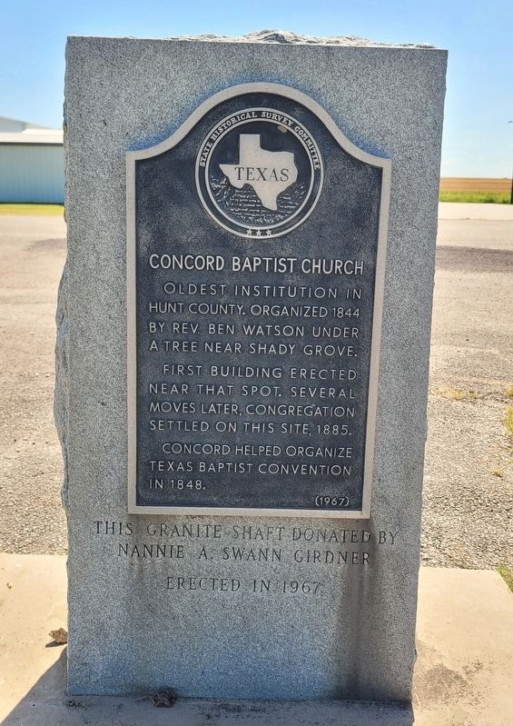
1. Concord Baptist Church Marker
Main Stone
This granite shaft donated by Nannie A. Swann Girdner. Erected in 1967
Erected 1967 by State Historical Survey Committee. (Marker Number 7784.)
Topics. This historical marker is listed in this topic list: Religion & Religious Structures. A significant historical year for this entry is 1844.
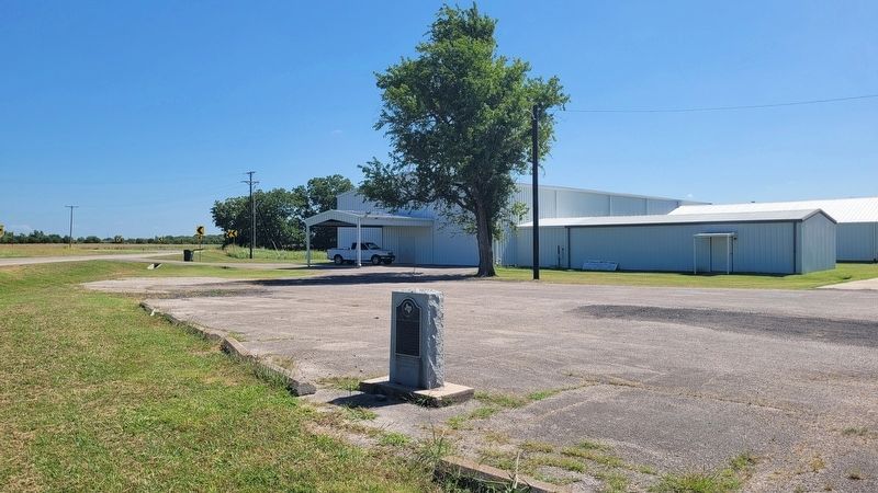
Location. 33° 12.848′ N, 96° 3.932′ W. Marker is near Greenville, Texas, in Hunt County. It is on Farm to Market Road 118 south of County Road 4303, on the left when traveling south. The marker is located at the front of the church near the street. Touch for map. Marker is at or near this postal address: 4969 FM118, Greenville TX 75401, United States of America. Touch for directions.

Regionally, this marker is in the Prairies & Lakes Region and in the Dallas-Fort Worth Metropolitan Area. It is also in the American South. Globally, it is in North America,
this page online
Other nearby markers. At least 8 other markers are within 6 miles of this marker, measured as the crow flies: St. Paul School (approx. 3.7 miles away); Cherry Hill (approx. 4.3 miles away); White Rock Baptist Church (approx. 4.8 miles away); White Rock Community (approx. 4.9 miles away); White Rock Methodist Church (approx. 4.9 miles away); Central National Road of The Republic of Texas (approx. 5 miles away); Humboldt Cemetery (approx. 5.2 miles away); Bourland-Stevens-Samuell House (approx. 5½ miles away). Touch for a list and map of all markers in Greenville.
Photographed by James Hulse, July 28, 2025
2. The view of the Concord Baptist Church and Marker along the street
Credits. This page was last revised on July 29, 2025. It was originally submitted on July 28, 2025, by James Hulse of Medina, Texas. This page has been viewed 94 times since then and 13 times this year. Photos: 1, 2. submitted on July 29, 2025, by James Hulse of Medina, Texas.
