Thorold in Niagara Region, Ontario — Central Canada (North America)
A Path Between Cultures
Photographed by Kevin Westell, July 28, 2025
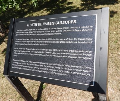
1. A Path Between Cultures - Marker
The accessible pathway joining these two important historic sites was a gift from The Ontario Paper Thorold Foundation. It provides a literal and metaphorical reminder of the link between the cultures of Indigenous peoples and settlers who live on this land.
DeCew House was the destination of Laura Secord's epic 1813 trek to warn British leadership of an impending American attack. The ensuing Battle of Beaver Dams was a decisive engagement in which Indigenous forces secured the surrender of more than 500 American troops, changing the course of History.
The events that transpired in this area were shaped by early relations established between the Crown and Indigenous nations during the 18th century. The wampum motifs inscribed on the stone walls of the First Nations Peace Monument serve as an indelible reminder of the importance of these pledges, and
this page online
Topics. This historical marker is listed in this topic list: War of 1812. A significant historical year for this entry is 1808.
Location. 43° 6.466′ N, 79° 14.996′ W. Marker is in Thorold, Ontario, in Niagara Region. It can be reached from Decew Road, on the right when traveling west. Touch for map. Marker is at or near this postal address: 2350 Decew Road, Thorold ON L0S 1E6, Canada. Touch for directions.

Regionally, this marker is on Ontario’s Golden Horseshoe and in Niagara Canada. It is also in Central Canada. Globally, it is in North America, on the Great Lakes, in the Western Hemisphere, in the Western World, and in the Anglosphere. Historically, it finds itself in what was once a British colony, the Viceroyalty of New France, the Haudenosaunee (Iroquois) Confederacy, and Rupert’s Land.
Other nearby markers. At least 8 other markers are within walking distance of this marker: DeCou's Stone House (within shouting distance of this marker); DeCou House Monument c. 1812 (within shouting distance of this marker); Decew House Heritage Park
Photographed by Kevin Westell, July 28, 2025
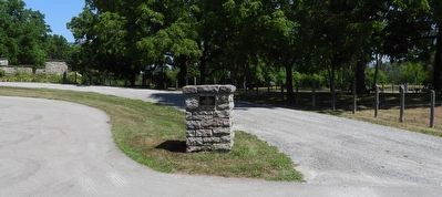
2. A Path Between Cultures - Marker in context
Photo faces north from Decew Road. This marker (distant centre right) can be seen as a light parallelogram, between the third and fourth posts right of the stone pedestal (foreground). The ruins of Decew House are distant left.
More about this marker. The marker is adjacent to a walking path, 15 metres south-east of the ruins of the Decew House.
Photographed by Kevin Westell, September 14, 2025
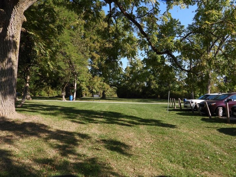
3. A Path Between Cultures - Marker in context
Photo faces north from near the road. The marker (left of centre) is on a walking path from the parking lot to the Decew ruins.
Credits. This page was last revised on September 20, 2025. It was originally submitted on July 29, 2025, by Kevin Westell of St. Catharines, Ontario. This page has been viewed 79 times since then and 9 times this year. Photos: 1, 2. submitted on July 29, 2025, by Kevin Westell of St. Catharines, Ontario. 3. submitted on September 15, 2025, by Kevin Westell of St. Catharines, Ontario. • Andrew Ruppenstein was the editor who published this page.
