Neylandville in Hunt County, Texas — The American South (West South Central)
St. Paul School
Photographed by James Hulse, July 28, 2025
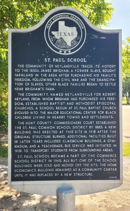
1. St. Paul School Marker
The community, named Neylandville for Robert Neyland, from whom Brigham had purchased his freedom, established Baptist and Methodist Episcopal churches. A school begun at St. Paul Baptist Church evolved into the major educational center for black children living in nearby towns and settlements.
The Hunt County Commissioners Court established the St. Paul Common School District by 1885. A new building was erected at this site in 1918 after the original structure burned. Additional facilities built in later years included classroom buildings, a gymnasium, and a teacherage. Bus service was initiated in 1938 to transport students from surrounding areas.
St. Paul School became a part of the Commerce School District in 1965. All but one of the school buildings were sold and moved off the site. The home economics building remained as a community center until it was replaced by a new structure.
Erected 1989 by Texas Historical Commission. (Marker Number 7829.)
Topics. This historical marker is listed in these topic lists: African Americans • Education • Settlements & Settlers. A significant historical year for this entry is 1885.
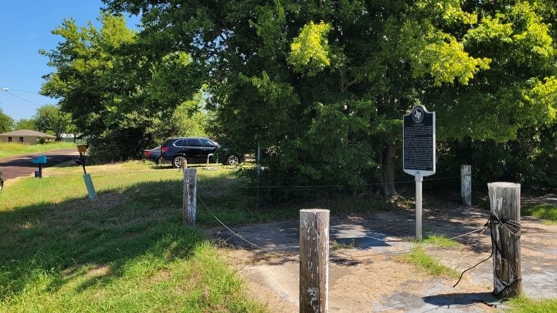
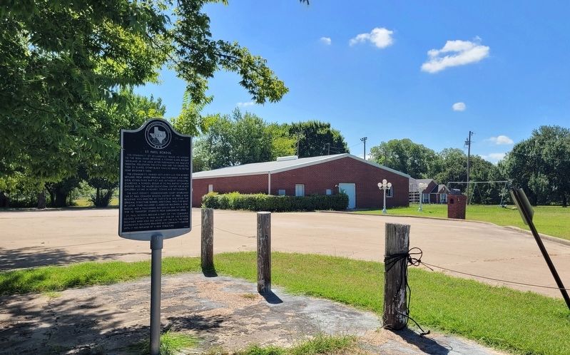
Location. 33° 11.99′ N, 96° 0.192′ W. Marker is in Neylandville, Texas, in Hunt County. It is at the intersection of Lee Blvd (County Road 4311) and McMurray Ln, on the left when traveling south on Lee Blvd. The marker is located along the street next to the community center building. Touch for map. Marker is at or near this postal address: 2479 Co Rd 4311, Greenville TX 75401, United States of
this page online

Regionally, this marker is in the Prairies & Lakes Region and in the Dallas-Fort Worth Metropolitan Area. It is also in the American South. Globally, it is in North America, a Gulf of Mexico state, the Western Hemisphere, the Western World, and the Anglosphere. Historically, it finds itself in what was once New Spain, the Republic of Texas, one of the Confederate States of America, and the Antebellum South.
Other nearby markers. At least 8 other markers are within 6 miles of this marker, measured as the crow flies: Humboldt Cemetery (approx. 1.7 miles away); Cherry Hill (approx. 2.1 miles away); “Fourth-Sunday Singing” (approx. 3.1 miles away); Scatter Branch Church (approx. 3.1 miles away); Concord Baptist Church (approx. 3.7 miles away); Shady Grove Community (approx. 4.7 miles away); Site of Henry and Emerson Colleges (approx. 4.8 miles away); Farmers Electric Cooperative (approx. 5.6 miles away).
Photographed by James Hulse, July 28, 2025
2. The view of the St. Paul School Marker along the street
Photographed by James Hulse, July 28, 2025
3. The view of the Neylandville City Hall and marker
Credits. This page was last revised on July 29, 2025. It was originally submitted on July 29, 2025, by James Hulse of Medina, Texas. This page has been viewed 282 times since then and 83 times this year. Photos: 1, 2, 3. submitted on July 29, 2025, by James Hulse of Medina, Texas.
