Artesia in Eddy County, New Mexico — The American Mountains (Southwest)
Artesia
Population 10,385 – Elevation 3,350
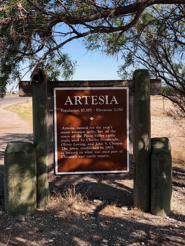
Photographed by Brian Anderson, May 25, 2018
1. Artesia Replacement Marker
Erected by New Mexico Historic Preservation Division. (Marker Number 394.)
Topics. This historical marker is listed in these topic lists: Animals • Settlements & Settlers. A significant historical year for this entry is 1903.
Location. 32° 53.596′ N, 104° 24.996′ W. Marker is in Artesia, New Mexico, in Eddy County. It is on Roswell Highway (U.S. 285), on the right when traveling south. Touch for map. Marker is in this post office area: Artesia NM 88210, United States of America. Touch for directions.

Regionally, this marker is in the Pecos Valley. It is also in the American Southwest, on the Great Plains, on the Southern Plains, and specifically on the High Plains. Globally, it is in North America, the Western Hemisphere, the Western World, and the Anglosphere. Historically, it finds itself in what was once New Spain, the Comanchería, and the
this page online
Other nearby markers. At least 8 other markers are within 4 miles of this marker, measured as the crow flies: The Sallie Chisum Robert House (approx. 3½ miles away); The Acord-Wheatley House (approx. 3.6 miles away); The Illinois #3 (approx. 3.6 miles away); Van Stratton Welch (approx. 3.6 miles away); Martin Yates, Jr. (approx. 3.6 miles away); John R. Gray (approx. 3.6 miles away); Mary Emmons Yates (approx. 3.6 miles away); Mack C. Chase (approx. 3.6 miles away). Touch for a list and map of all markers in Artesia.
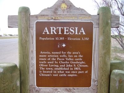
Photographed by Bill Kirchner, October 26, 2012
2. Original Artesia Marker

Photographed by Bill Kirchner, October 26, 2012
3. rear of: Artesia Marker
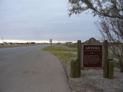
Photographed by Bill Kirchner, October 26, 2012
4. Artesia Marker
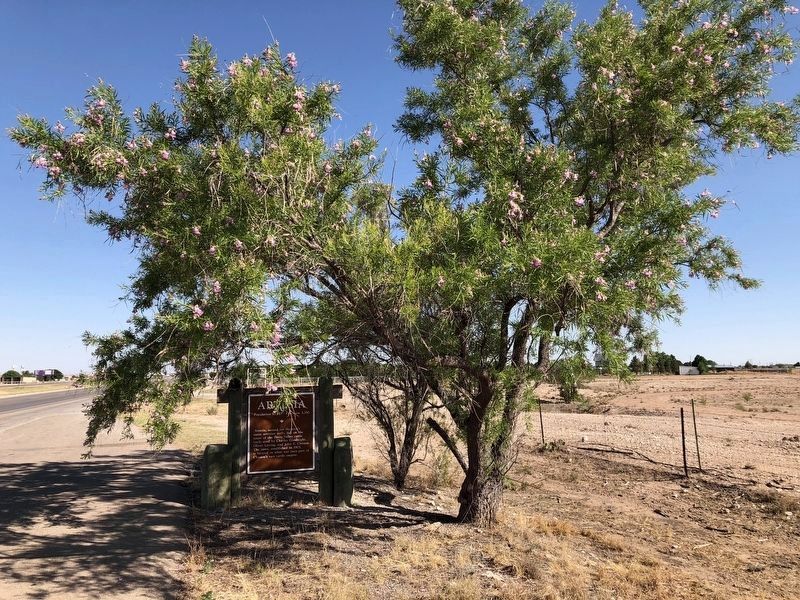
Photographed by Brian Anderson, May 25, 2018
5. Artesia Marker
The tree next to the marker has grown out to the extent that it almost obscures the view of the marker from the road.
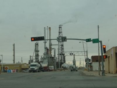
Photographed by Bill Kirchner, October 26, 2012
6. Artesia, New Mexico
View east on Main Street from 1st Street.
Credits. This page was last revised on November 7, 2025. It was originally submitted on November 27, 2012, by Bill Kirchner of Tucson, Arizona. This page has been viewed 1,547 times since then and 79 times this year. Last updated on July 30, 2025, by Bill Wingate of Albuquerque, New Mexico. Photos: 1. submitted on July 9, 2018, by Brian Anderson of New Albany, Ohio. 2, 3, 4. submitted on November 27, 2012, by Bill Kirchner of Tucson, Arizona. 5. submitted on July 9, 2018, by Brian Anderson of New Albany, Ohio. 6. submitted on November 27, 2012, by Bill Kirchner of Tucson, Arizona. • Devry Becker Jones was the editor who published this page.
