Near Doña Ana in Doña Ana County, New Mexico — The American Mountains (Southwest)
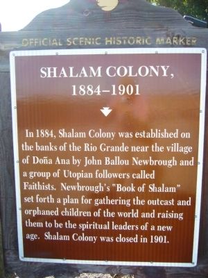
Shalam Colony
1884-1901
Photographed by Bill Kirchner, November 5, 2010
1. Shalam Colony Marker
Erected by New Mexico Historic Preservation Division.
Topics and series. This historical marker is listed in these topic lists: Religion & Religious Structures • Settlements & Settlers. In addition, it is included in the Communal and Utopian Societies series list. A significant historical year for this entry is 1884.
Location. 32° 23.02′ N, 106° 50.442′ W. Marker is near Doña Ana, New Mexico, in Doña Ana County. It is at the intersection of North Valley Drive (State Road 185 at milepost 5.5) and Shalam Colony Trail (County Road D052), on the right when traveling south on North Valley Drive. Touch for map. Marker is at or near this postal address: 6494 Shalem Colony Trail, Dona Ana NM 88032, United States of America. Touch for directions.

Regionally,
this page online
Other nearby markers. At least 8 other markers are within 6 miles of this marker, measured as the crow flies: Bartlett Garcia (approx. 0.9 miles away); Doña Ana (approx. 0.9 miles away); Doña Ana (1604–1680) (approx. 1.9 miles away); Rio Grande (approx. 5.1 miles away); The Caboose (approx. 6 miles away); The Centennial Caboose (approx. 6 miles away); The Classic Caboose (approx. 6 miles away); The Branigan Building (approx. 6 miles away). Touch for a list and map of all markers in Doña Ana.
Photographed by Bill Kirchner, November 5, 2010
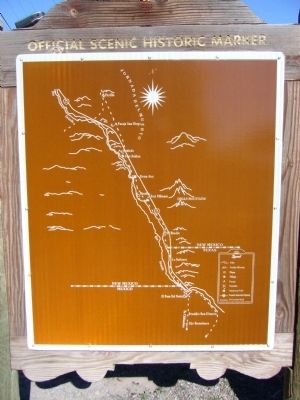
2. Rear of Shalam Colony Marker
Photographed by Bill Kirchner, November 5, 2010
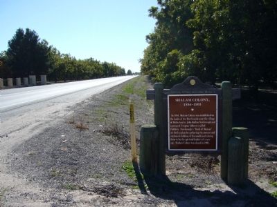
3. Shalam Colony Marker
View south on Highway 185.
Credits. This page was last revised on October 2, 2025. It was originally submitted on November 19, 2010, by Bill Kirchner of Tucson, Arizona. This page has been viewed 4,792 times since then and 319 times this year. Last updated on July 30, 2025, by Bill Wingate of Albuquerque, New Mexico. Photos: 1, 2, 3. submitted on November 19, 2010, by Bill Kirchner of Tucson, Arizona. • Devry Becker Jones was the editor who published this page.
