Near Las Cruces in Doña Ana County, New Mexico — The American Mountains (Southwest)
Las Cruces on the Camino Real
Population 74,267 - Elevation 3,909
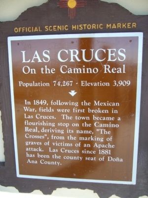
Photographed by Bill Kirchner, October 21, 2012
1. Las Cruces on the Camino Real Marker
Erected by New Mexico Historic Preservation Division.
Topics. This historical marker is listed in these topic lists: Settlements & Settlers • War, Mexican-American. A significant historical year for this entry is 1849.
Location. 32° 16.865′ N, 106° 51.956′ W. Marker is near Las Cruces, New Mexico, in Doña Ana County. It can be reached from Interstate 10 at milepost 136, on the right when traveling east. Marker is on the south side of the rest rooms at the east bound rest area. Touch for map. Marker is at or near this postal address: 8500 Mountain Vista Pkwy, Las Cruces NM 88005, United States of America. Touch for directions.

Regionally, this marker is in the Rio Grande Valley. It is also in the American Borderlands and in the Southwest. Globally, it is in North America, the Western Hemisphere, the Western World, and
this page online
Other nearby markers. At least 8 other markers are within 5 miles of this marker, measured as the crow flies: Rio Grande (approx. 3.1 miles away); La Mesilla (approx. 4.1 miles away); a different marker also named La Mesilla (approx. 4.1 miles away); El Mariachi dba Thunderbird de la Mesilla (approx. 4.2 miles away); Butterfield Overland Trail (approx. 4.2 miles away); Plaza de Mesilla (approx. 4.2 miles away); All Servicemen and Women (approx. 4.2 miles away); Head Quarters, Dept. of New Mexico (approx. 4.2 miles away). Touch for a list and map of all markers in Las Cruces.
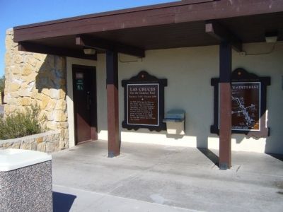
Photographed by Bill Kirchner, October 21, 2012
2. Las Cruces on the Camino Real Marker
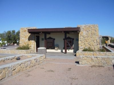
Photographed by Bill Kirchner, October 21, 2012
3. Las Cruces on the Camino Real Marker
Credits. This page was last revised on November 10, 2025. It was originally submitted on October 29, 2012, by Bill Kirchner of Tucson, Arizona. This page has been viewed 1,213 times since then and 52 times this year. Last updated on July 30, 2025, by Bill Wingate of Albuquerque, New Mexico. Photos: 1, 2, 3. submitted on October 29, 2012, by Bill Kirchner of Tucson, Arizona. • Devry Becker Jones was the editor who published this page.
