Carlsbad in Eddy County, New Mexico — The American Mountains (Southwest)
Civilian Conservation Corps Carlsbad Campsite
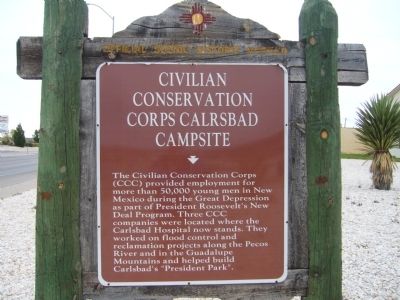
Photographed by Bill Kirchner, October 26, 2012
1. Civilian Conservation Corps Carlsbad Campsite Marker
Erected by New Mexico Historic Preservation Division.
Topics and series. This historical marker is listed in this topic list: Charity & Public Work. In addition, it is included in the Civilian Conservation Corps (CCC), and the Former U.S. Presidents: #32 Franklin D. Roosevelt series lists.
Location. 32° 26.479′ N, 104° 15.507′ W. Marker is in Carlsbad, New Mexico, in Eddy County. It is at the intersection of U.S. 285 and North 8th Street, on the right when traveling south on U.S. 285. Touch for map. Marker is in this post office area: Carlsbad NM 88220, United States of America. Touch for directions.

Regionally, this marker is in the Pecos Valley. It is also in the
this page online
Other nearby markers. At least 6 other markers are within 14 miles of this marker, measured as the crow flies: Carlsbad Irrigation Flume (here, next to this marker); a different marker also named Carlsbad Irrigation Flume (approx. ¼ mile away); a different marker also named Carlsbad Irrigation Flume (approx. ¼ mile away); Mother Magdalen and the Sisters of Loretto (1852 - 1968) / Carlsbad (approx. 3 miles away); Josephine Cox "Grandma" Anderson (approx. 3 miles away); Goodnight-Loving Trail (approx. 12 miles away). Touch for a list and map of all markers in Carlsbad.
Other markers no longer nearby. Eddy County Courthouse (was approx. 2.2 miles away but has been confirmed missing); Loving's Bend (was approx. 13.7 miles away but has been permanently removed).
More about this marker. The misspelling of Carlsbad (Calrsbad)
Photographed by Bill Kirchner, October 26, 2012
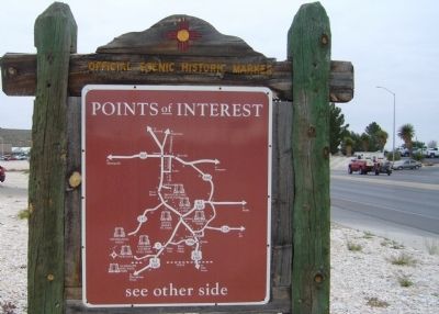
2. Back of Civilian Conservation Corps Carlsbad Campsite Marker
Points of Interest
New Mexico's Historic Markers typically have a map on the back side showing the location of other OSHM's. This is an excellent source of information when exploring for other Historical Markers and locations.
New Mexico's Historic Markers typically have a map on the back side showing the location of other OSHM's. This is an excellent source of information when exploring for other Historical Markers and locations.
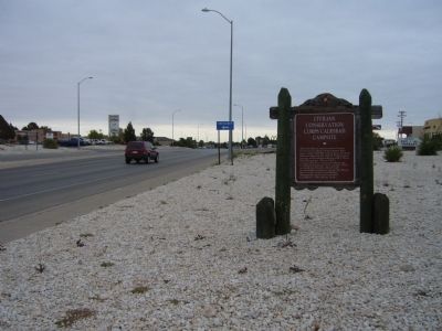
Photographed by Bill Kirchner, October 26, 2012
3. Civilian Conservation Corps Carlsbad Campsite Marker
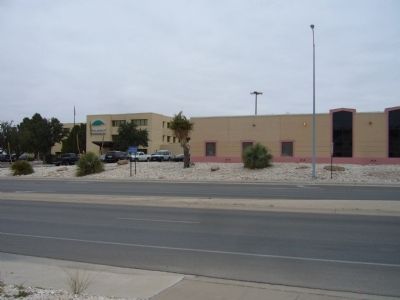
Photographed by Bill Kirchner, October 26, 2012
4. Carlsbad Hospital
Carlsbad Hospital is directly across highway 285 from marker. Three CCC companies were located where the Carlsbad Hospital now stands.
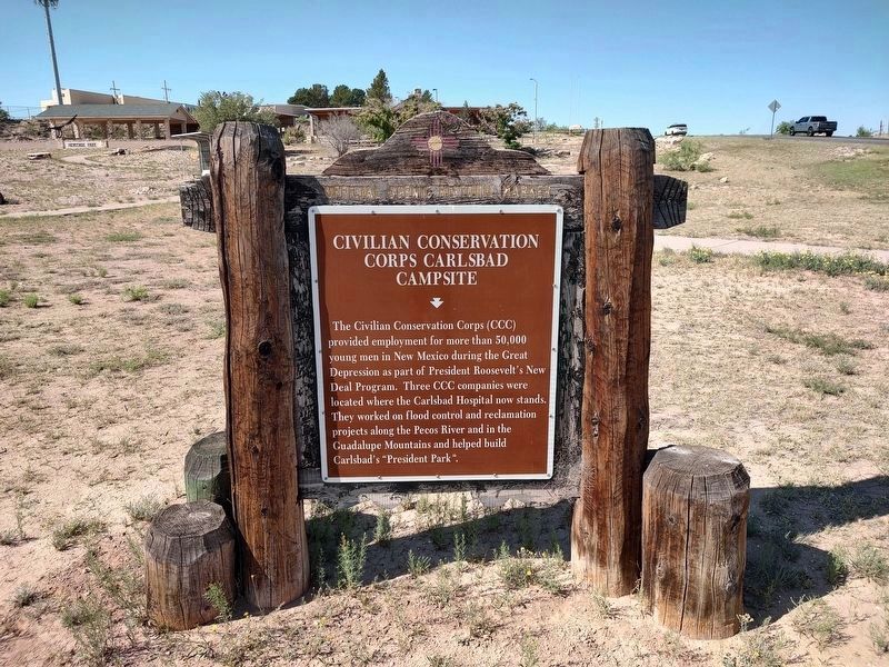
Photographed by Jimmy Emerson, May 24, 2026
5. Civilian Conservation Corps Carlsbad Campsite Marker
New location in Heritage Park
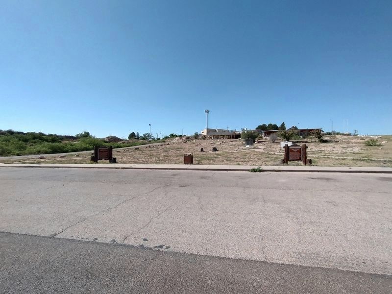
Photographed by Jimmy Emerson, May 24, 2026
6. Civilian Conservation Corps Carlsbad Campsite Marker
Marker on the right, in Heritage Park
Credits. This page was last revised on May 28, 2026. It was originally submitted on November 28, 2012, by Bill Kirchner of Tucson, Arizona. This page has been viewed 1,287 times since then and 72 times this year. Last updated on July 30, 2025, by Bill Wingate of Albuquerque, New Mexico. Photos: 1, 2, 3, 4. submitted on November 28, 2012, by Bill Kirchner of Tucson, Arizona. 5, 6. submitted on May 24, 2026, by Jimmy Emerson of Dalton, Georgia. • Devry Becker Jones was the editor who published this page.
Editor’s want-list for this marker. Photo of President's Park. Photo of marker at new location at Heritage Park (on Westridge Dr.) along with area photo. • Can you help?
