
Deming in Luna County, New Mexico — The American Mountains (Southwest)
Deming
Elevation – 4,331 ft
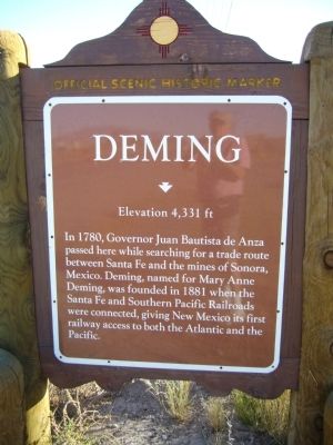
Photographed by Bill Kirchner, November 5, 2010
1. Deming Marker
Erected by New Mexico Historic Preservation Division.
Topics. This historical marker is listed in these topic lists: Railroads & Streetcars • Settlements & Settlers. A significant historical year for this entry is 1780.
Location. 32° 17.017′ N, 107° 45.683′ W. Marker is in Deming, New Mexico, in Luna County. It is on U.S. 180 at milepost 164, on the right when traveling south. Touch for map. Marker is at or near this postal address: 2216 Hunt and Little Rd, Deming NM 88030, United States of America. Touch for directions.

Regionally, this marker is in Southwest New Mexico. It is also in the American Southwest. Globally, it is in North America, the Western Hemisphere, the Western World, and the Anglosphere. Historically, it finds itself in what was once New Spain and also
this page online
Other nearby markers. At least 8 other markers are within 11 miles of this marker, measured as the crow flies: Deming Main U.S. Post Office (approx. 1.1 miles away); A Silver Spike was Driven (approx. 1.2 miles away); Mary Ann Deming Crocker (approx. 1.2 miles away); Seamon Field House (approx. 1.2 miles away); Deming Armory (approx. 1.2 miles away); Lest We Forget (approx. 1.2 miles away); Pearl Harbor Memorial (approx. 1.3 miles away); Cathay Williams (approx. 10.2 miles away). Touch for a list and map of all markers in Deming.
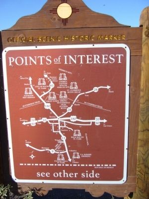
Photographed by Bill Kirchner, November 5, 2010
2. Rear of Deming Marker
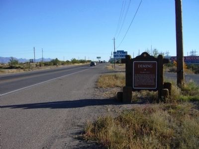
Photographed by Bill Kirchner, November 5, 2010
3. Deming Marker
Credits. This page was last revised on October 14, 2025. It was originally submitted on November 19, 2010, by Bill Kirchner of Tucson, Arizona. This page has been viewed 1,137 times since then and 38 times this year. Last updated on July 30, 2025, by Bill Wingate of Albuquerque, New Mexico. Photos: 1, 2, 3. submitted on November 19, 2010, by Bill Kirchner of Tucson, Arizona. • Devry Becker Jones was the editor who published this page.
