
Near Dwyer Junction in Platte County, Wyoming — The American West (Mountains)
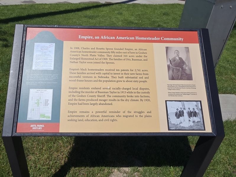
Empire, an African American Homesteader Community
Photographed by Mark Parker, July 1, 2025
1. Empire, an African American Homesteader Community Marker
In 1908, Charles and Rosetta Speese founded Empire, an African American homesteader community fifty miles east of here in Goshen County's North Platte Valley. They claimed 320 acres under the Enlarged Homestead Act of 1909. The families of Otis, Baseman, and Nathan Taylor soon joined the Speeses.
Empire's black homesteaders received ten patents for 2,741 acres. These families arrived with capital to invest in their new farms from successful ventures in Nebraska. They built substantial sod and wood-frame houses and the population grew to about sixty people.
Empire residents endured several racially-charged local disputes, including the murder of Baseman Taylor in 1913 while in the custody of the Goshen County Sheriff. The community broke into factions, and the farms produced meager results in the dry climate. By 1920, Empire had been largely abandoned.
Empire remains a powerful reminder of the struggles and achievements of African Americans who migrated to the plains seeking land, education, and civil rights.
Sidebar Top Image: Reverend Russel Taylor homesteaded in Empire with his family in 1911. He founded the school and served as pastor for Grace Presbyterian Church. (Courtesy of Hastings College's Perkins Library.)
Caption Members of the Speese family performed as musicians and traveled as the "Jubilee Singers". (Courtesy of the Nebraska State Archives)
Note: unable to read left sidebar due to heavy glare.
Erected by Wyoming
this page online
Topics. This historical marker is listed in these topic lists: African Americans • Settlements & Settlers. A significant historical year for this entry is 1908.
Location. 42° 14.054′ N, 105° 1.184′ W. Marker is near Dwyer Junction, Wyoming, in Platte County. It can be reached from the intersection of Heartland Expressway (U.S. 26) and Interstate 25, on the right when traveling west. The marker is at the Dwyer Junction rest area near exit 92 off I-25. Touch for map. Marker is in this post office area: Wheatland WY 82201, United States of America. Touch for directions.

Regionally, this marker is in Wyoming’s Laramie Basin and in the Westward Expansion Trails Region. It is also in the American Mountain West, on the Great Plains, and specifically on the High Plains. Globally, it is in North America, the Western Hemisphere, the Western World, and the Anglosphere. Historically, it finds itself in what was once the Louisiana Purchase.
Other nearby markers. At least 8 other markers are within 10 miles of this marker, measured as the crow flies: Wildlife Diversity (here, next to this

Photographed by Mark Parker, July 1, 2025
2. Empire, an African American Homesteader Community Marker near the rest area building
Credits. This page was last revised on August 15, 2025. It was originally submitted on August 2, 2025, by Mark Parker of Hickory, North Carolina. This page has been viewed 158 times since then and 48 times this year. Photos: 1, 2. submitted on August 2, 2025, by Mark Parker of Hickory, North Carolina. • Andrew Ruppenstein was the editor who published this page.
