Munford in Botetourt County, Virginia — The American South (Mid-Atlantic)
Johnson Farm Apple House
Blue Ridge Parkway
Photographed by Craig Swain, August 2, 2025
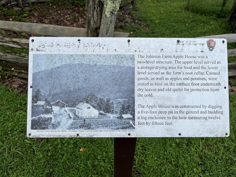
1. Johnson Farm Apple House Marker
The Apple House was constructed by digging a five-foot deep pit in the ground and building a log enclosure in the hole measuring twelve feet by fifteen feet.
Erected by National Park Service, U.S. Department of the Interior.
Topics. This historical marker is listed in this topic list: Notable Buildings.
Location. 37° 27.314′ N, 79° 36.281′ W. Marker is in Munford, Virginia, in Botetourt County. It is on Johnson Farm Road. The marker is located on the Johnson Farm Trail, part of the Peaks of Otter unit of the Blue Ridge Parkway. Touch for map. Marker is at or near this postal address: 125 Johnson Farm Rd, Buchanan VA 24066, United States of America. Touch for directions.

Regionally, this marker is in the Mountain Region. It is also in the American
this page online
Other nearby markers. At least 8 other markers are within walking distance of this marker: The Johnson Farmhouse (within shouting distance of this marker); Johnson Farm (within shouting distance of this marker); The Hotel Mons (approx. 0.4 miles away); Abbott Lake (approx. 0.6 miles away); Polly Woods' Ordinary (approx. 0.7 miles away); A Community at "the Mons" (approx. 0.7 miles away); Peaks of Otter (approx. ¾ mile away); Sharp Top Mountain (approx. 0.9 miles away). Touch for a list and map of all markers in Munford.
Also see . . . The Peaks of Otter and the Johnson Farm. Article summarizing the history of the Peaks of Otter area, with details about the Johnson Farm. (Submitted on August 6, 2025, by Craig Swain of Leesburg, Virginia.)
Photographed by Craig Swain, August 2, 2025
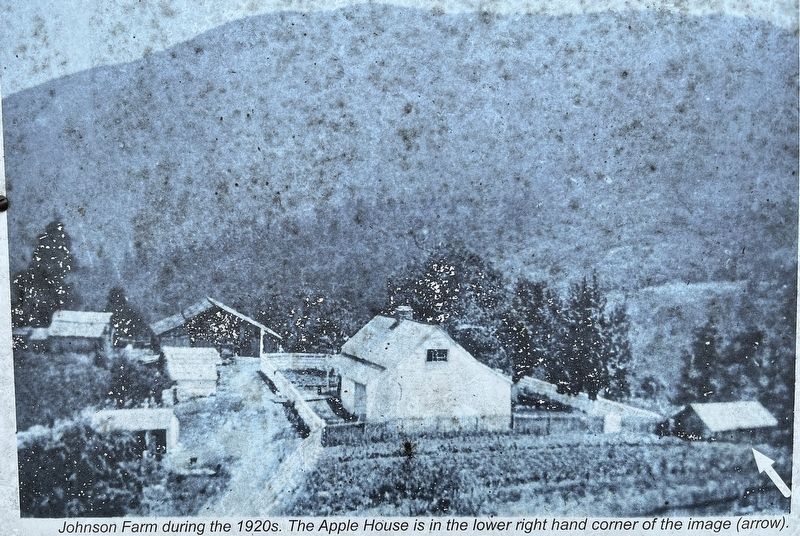
2. Johnson Farm Apple House Photo
Johnson Farm during the 1920s. The Apple House is in the lower right hand corner of the image (arrow).

Photographed by Craig Swain, August 2, 2025
3. Johnson Farm Apple House Marker
Photographed by Craig Swain, August 2, 2025
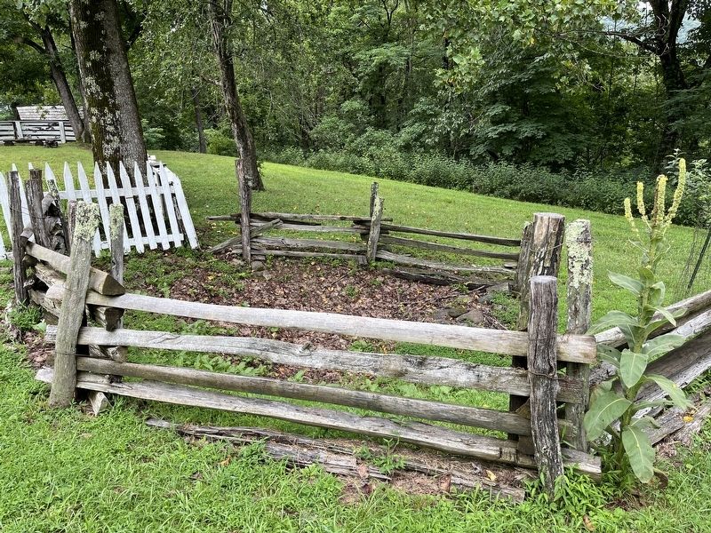
4. Location of the Apple House
The apple house has collapsed in, but the location is staked out by a fence.
Photographed by Craig Swain, August 2, 2025
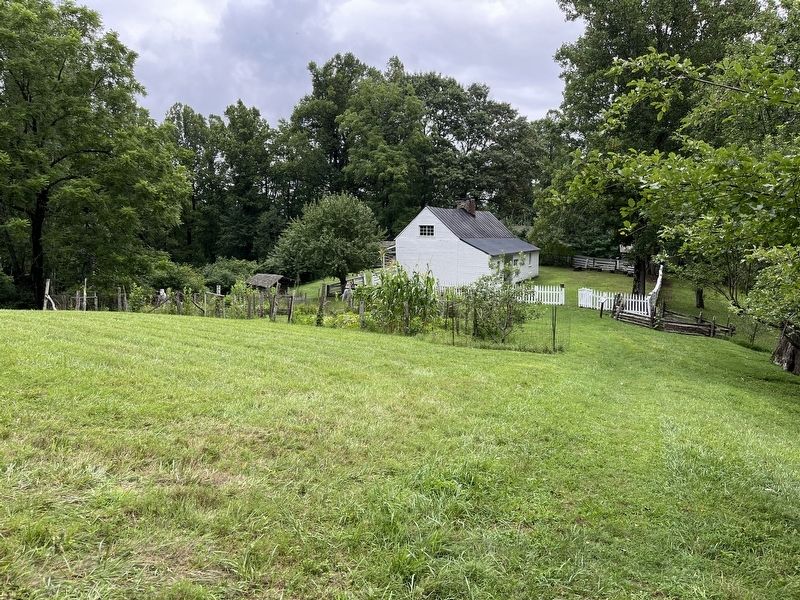
5. Back of Johnson Farmhouse, Apple House, and Gardens
Credits. This page was last revised on August 6, 2025. It was originally submitted on August 6, 2025, by Craig Swain of Leesburg, Virginia. This page has been viewed 106 times since then and 21 times this year. Photos: 1, 2, 3, 4, 5. submitted on August 6, 2025, by Craig Swain of Leesburg, Virginia.
