THE HISTORICAL
MARKER DATABASE
“Bite-Size Bits of Local, National, and Global History”
Rockwood in Wellington County, Ontario — Central Canada (North America)
 

The Founding of Rockwood
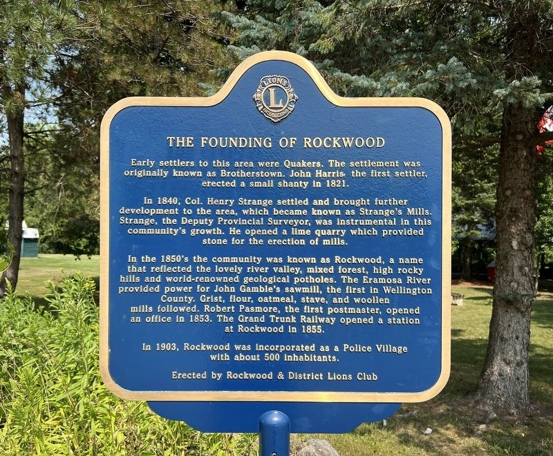
 
 
The Founding of Rockwood Marker image. Click for full size.
Photographed by Tim Boyd, August 5, 2025
1. The Founding of Rockwood Marker
Inscription. Early settlers to this area were Quakers. The settlement was originally known as Brotherstown. John Harris the first settler, erected a small shanty in 1821. In 1840, Col. Henry Strange settled and brought further development to the area, which became known as Strange's Mills. Strange, the Deputy Provincial Surveyor, was instrumental in this community's growth. He opened a lime quarry which provided stone for the erection of mills. In the 1850's the community was known as Rockwood, a name that reflected the lovely river valley, mixed forest, high rocky hills and world-renowned geological potholes. The Eramosa River provided power for John Gamble's sawmill, the first in Wellington County. Grist, flour, oatmeal, stave, and woollen mills followed. Robert Pasmore, the first postmaster, opened an office in 1853. The Grand Trunk Railway opened a station at Rockwood in 1855. In 1903, Rockwood was incorporated as a Police Village with about 500 inhabitants.
 
Erected by Rockwood and District Lions Club.
 
Topics. This historical marker is listed in this topic list: Settlements & Settlers. A significant historical year for this entry is 1821.
 
Location. 43° 37.039′ N,
Paid Advertisement
Click or scan to see
this page online
80° 8.505′ W. Marker is in Rockwood, Ontario, in Wellington County. It is on Main Street South 0.3 kilometers south of Alma Street, on the right when traveling north. The marker is in Waterside Park. Touch for map. Marker is at or near this postal address: 181 Main St S, Rockwood ON N0B 2K0, Canada. Touch for directions.

Regionally, this marker is in the Huron-Perth-Waterloo-Wellington Area and in Southwestern Ontario. It is also in Central Canada. Globally, it is in North America, the Western Hemisphere, the Western World, and the Anglosphere. Historically, it finds itself in what was once a British colony, the Viceroyalty of New France, the Haudenosaunee (Iroquois) Confederacy, and Rupert’s Land.

Other nearby markers. At least 8 other markers are within 8 kilometers of this marker, measured as the crow flies: Rockwood Cenotaph (about 180 meters away, measured in a direct line); James Jerome Hill (approx. 0.3 kilometers away); Rockwood Academy 1850 (approx. one kilometer away); Toronto’s Radial Railways (approx. 4.8 kilometers away); Mid-to-Late 1900s Acton Quarry & Its Commercial Operations
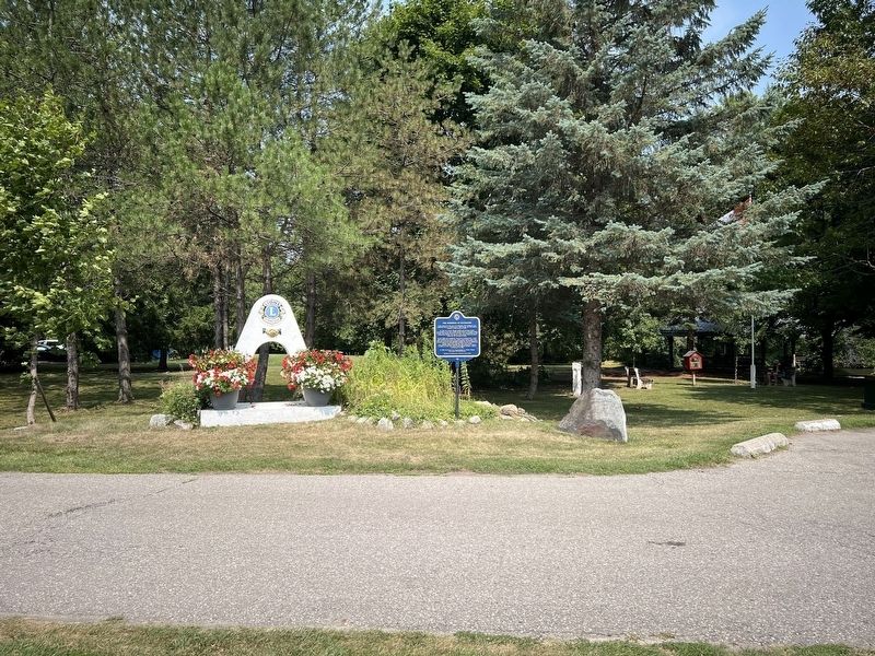
The Founding of Rockwood Marker image. Click for full size.
Photographed by Tim Boyd, August 5, 2025
2. The Founding of Rockwood Marker
(approx. 8 kilometers away); Late 1800s - 1900s Lime Kiln Technology (approx. 8 kilometers away); Acton (approx. 8 kilometers away); 1800s The Origins of Dolly Varden (approx. 8.1 kilometers away). Touch for a list and map of all markers in Rockwood.
 
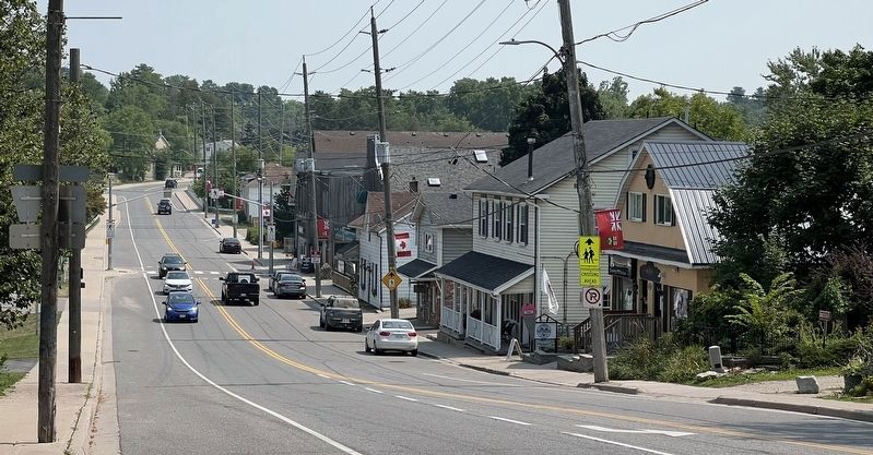
Main Street South in Rockwood, 2025 image. Click for full size.
Photographed by Tim Boyd, August 5, 2025
3. Main Street South in Rockwood, 2025
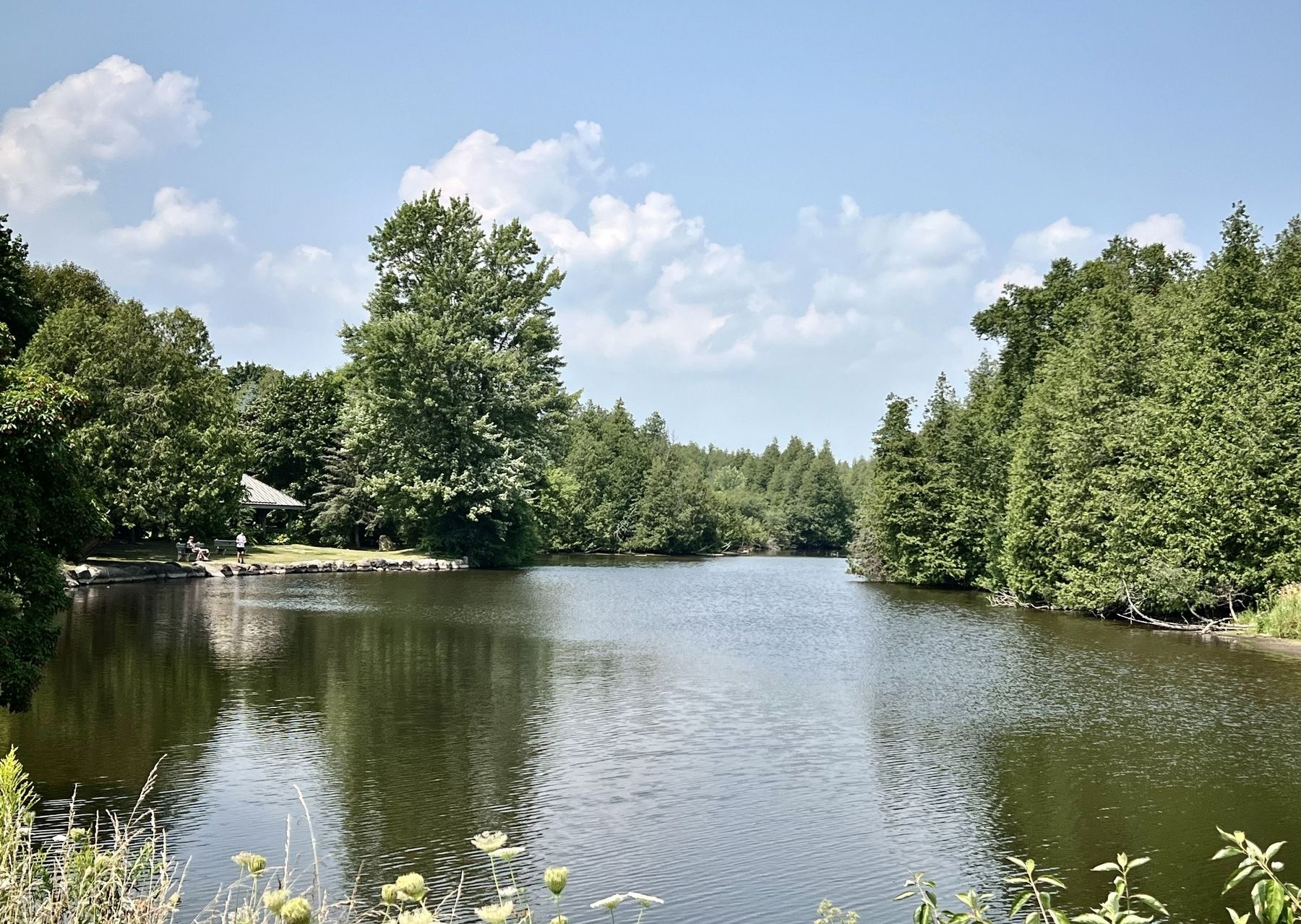
The Eramosa River at Rockwood image. Click for full size.
Photographed by Tim Boyd, August 5, 2025
4. The Eramosa River at Rockwood
 
 
Credits. This page was last revised on August 6, 2025. It was originally submitted on August 6, 2025, by Tim Boyd of Hamilton, Ontario. This page has been viewed 124 times since then and 53 times this year. Photos:   1, 2, 3, 4. submitted on August 6, 2025, by Tim Boyd of Hamilton, Ontario. • Andrew Ruppenstein was the editor who published this page.

m=280913

CeraNet Cloud Computing sponsors the Historical Marker Database.
This website earns income from purchases you make after using our links to Amazon.com. We appreciate your support.
Paid Advertisement
Oct. 18, 2026
