
Balinafad in Erin in Wellington County, Ontario — Central Canada (North America)
Early Settlement in Erin Township

Photographed by Tim Boyd, August 5, 2025
1. Early Settlement in Erin Township Marker
Erected by Ontario Archeological and Historic Sites Board.
Topics and series. This historical marker is listed in this topic list: Settlements & Settlers. In addition, it is included in the Canada, Ontario Heritage Trust series list. A significant historical year for this entry is 1818.
Location. 43° 41.767′ N, 80° 0.762′ W. Marker is in Erin, Ontario, in Wellington County. It is in Balinafad. It is at the intersection of Trafalgar Road (County Road 24)
this page online

Regionally, this marker is in the Huron-Perth-Waterloo-Wellington Area and in Southwestern Ontario. It is also in Central Canada. Globally, it is in North America, the Western Hemisphere, the Western World, and the Anglosphere. Historically, it finds itself in what was once a British colony, the Viceroyalty of New France, the Haudenosaunee (Iroquois) Confederacy, and Rupert’s Land.
Other nearby markers. At least 8 other markers are within 8 kilometers of this marker, measured as the crow flies: Nathaniel Roszel, First Settlement in Erin Township (here, next to this marker); Rolling Hills Farm (approx. 4 kilometers away); Churchill Cemetery (approx. 5.5 kilometers away); Rockside (approx. 6.8 kilometers away); Limehouse Memorial Garden (approx. 7 kilometers away); Beaumont Knitting Mill (approx. 7.1 kilometers away); Limehouse Memorial Hall (approx. 7.1 kilometers away); Limehouse and Early Industries (approx. 7.1 kilometers away).
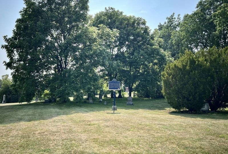
Photographed by Tim Boyd, August 5, 2025
2. Early Settlement in Erin Township Marker

3. Erin Township, 1861
Credits. This page was last revised on August 7, 2025. It was originally submitted on August 7, 2025, by Tim Boyd of Hamilton, Ontario. This page has been viewed 83 times since then and 13 times this year. Photos: 1, 2, 3. submitted on August 7, 2025, by Tim Boyd of Hamilton, Ontario. • Andrew Ruppenstein was the editor who published this page.
