Balinafad in Erin in Wellington County, Ontario — Central Canada (North America)
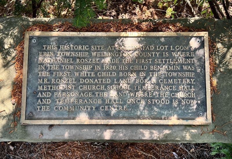
Nathaniel Roszel, First Settlement in Erin Township
Photographed by Tim Boyd, August 5, 2025
1. Nathaniel Roszel, First Settlement in Erin Township Marker
Topics. This historical marker is listed in this topic list: Settlements & Settlers. A significant historical year for this entry is 1820.
Location. 43° 41.769′ N, 80° 0.766′ W. Marker is in Erin, Ontario, in Wellington County. It is in Balinafad. It is at the intersection of Trafalgar Road (County Road 24) and 32 Side Road, on the right when traveling south on Trafalgar Road (County Road 24). Touch for map. Marker is at or near this postal address: 4906 County Road 24, Erin ON L7G 4S4, Canada. Touch for directions.

Regionally, this marker is in the Huron-Perth-Waterloo-Wellington Area and in Southwestern Ontario. It is also in Central Canada. Globally, it is in North America, the Western Hemisphere, the
this page online
Other nearby markers. At least 8 other markers are within 8 kilometers of this marker, measured as the crow flies: Early Settlement in Erin Township (here, next to this marker); Rolling Hills Farm (approx. 4 kilometers away); Churchill Cemetery (approx. 5.5 kilometers away); Rockside (approx. 6.8 kilometers away); Limehouse Memorial Garden (approx. 7 kilometers away); Beaumont Knitting Mill (approx. 7.1 kilometers away); Limehouse Memorial Hall (approx. 7.1 kilometers away); Limehouse and Early Industries (approx. 7.1 kilometers away).
Photographed by Tim Boyd, August 5, 2025
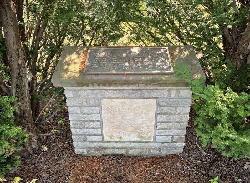
2. Nathaniel Roszel, First Settlement in Erin Township Marker
Including the date stone of the Methodist Church
Photographed by Tim Boyd, August 5, 2025
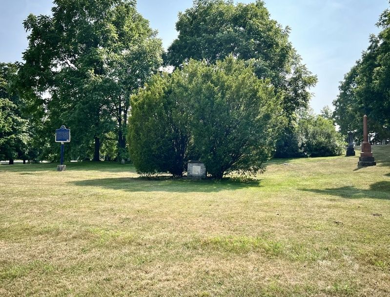
3. Nathaniel Roszel, First Settlement in Erin Township Marker (centre of photo)
Photographed by Tim Boyd, August 5, 2025
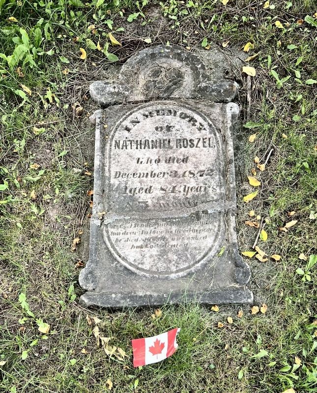
4. Gravestone of Nathaniel Roszel
In the cemetery where the marker is located
Credits. This page was last revised on August 7, 2025. It was originally submitted on August 7, 2025, by Tim Boyd of Hamilton, Ontario. This page has been viewed 119 times since then and 53 times this year. Photos: 1, 2, 3, 4. submitted on August 7, 2025, by Tim Boyd of Hamilton, Ontario. • Andrew Ruppenstein was the editor who published this page.
