Inscription.
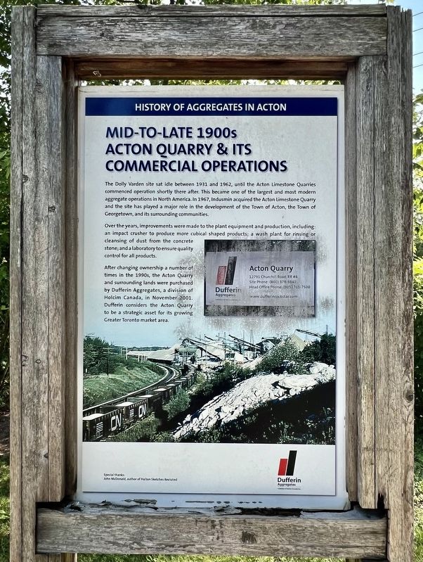
The Dolly Varden site sat idle between 1931 and 1962, until the Acton Limestone Quarries commenced operation shortly there after. This became one of the largest and most modern
aggregate operations in North America. In 1967, Indusmin acquired the Acton Limestone Quarry and the site has played a major role in the development of the Town of Acton, the Town of Georgetown, and its surrounding communities.
Over the years, improvements were made to the plant equipment and production, including: an impact crusher to produce more cubical shaped products; a wash plant for rinsing or cleansing of dust from the concrete
stone; and a laboratory to ensure quality
control for all products.
After changing ownership a number of
times in the 1990s, the Acton Quarry
and surrounding lands were purchased
by Dufferin Aggregates, a division of
Holcim Canada, in November 2001.
Dufferin considers the Acton Quarry
to be a strategic asset for its growing
Greater Toronto market area.
Erected by Dufferin Aggregates.
Topics. This historical marker is listed in this topic list: Industry & Commerce. A significant historical month for this entry is November 2001.
Location. 43° 37.918′ N,
Click or scan to see this page online
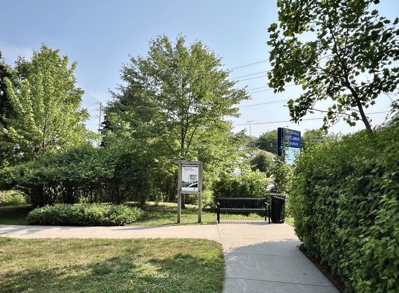
80° 2.639′ W. Marker is in Acton, Ontario, in Halton Region. It can be reached from the intersection of School Lane and Main Street North. The marker is on the west (Main Street) side of the Acton branch of the Halton Hills Public Library, accessible from its parking lot on School Lane. Touch for map. Marker is at or near this postal address: 31 School Lane, Acton ON L7J 1W2, Canada. Touch for directions.
Regionally, this marker is in Greater Toronto, specifically on the Golden Horseshoe, in the Hamilton-Halton-Brant Area, and specifically in the Toronto Metropolitan Area. It is also in Central Canada. Globally, it is in North America, on the Great Lakes, in the Western Hemisphere, in the Western World, and in the Anglosphere. Historically, it finds itself in what was once a British colony, the Viceroyalty of New France, the Haudenosaunee (Iroquois) Confederacy, and Rupert’s Land.
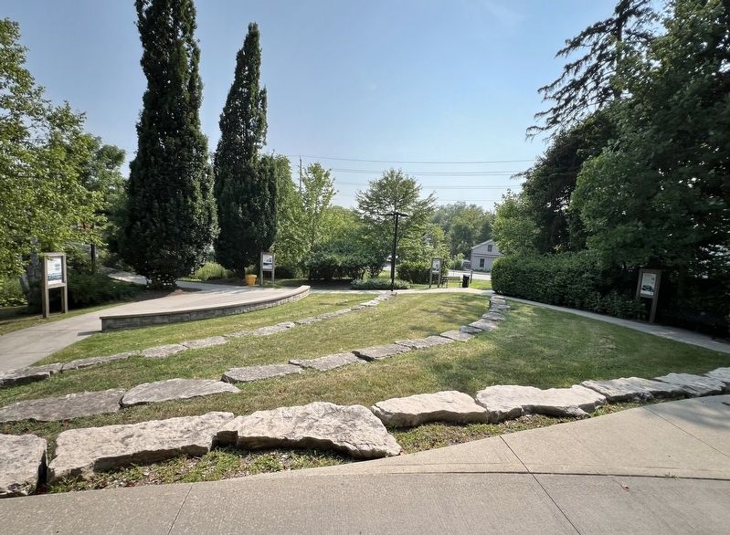
3. West side of the Acton (Halton Hills) Public Library
Looking toward Main Street, the marker is second from the right
Credits. This page was last revised on August 7, 2025. It was originally submitted on August 7, 2025, by Tim Boyd of Hamilton, Ontario. This page has been viewed 176 times since then and 59 times this year. Photos:1, 2, 3. submitted on August 7, 2025, by Tim Boyd of Hamilton, Ontario. • Andrew Ruppenstein was the editor who published this page.