
Acton in Halton Region, Ontario — Central Canada (North America)
1800s The Origins of Dolly Varden

Photographed by Tim Boyd, August 5, 2025
1. 1800s The Origins of Dolly Varden Marker
Erected by Dufferin Aggregates.
Topics. This historical marker is listed in this topic list: Industry & Commerce. A significant historical year for this entry is 1872.
Location. 43° 37.926′ N, 80° 2.634′ W. Marker is in Acton, Ontario, in Halton Region. It can be reached from the intersection of School Lane and Main Street North. The marker is on the west side of the Acton (Halton Hills) Public
this page online

Regionally, this marker is in Greater Toronto, specifically on the Golden Horseshoe, in the Hamilton-Halton-Brant Area, and specifically in the Toronto Metropolitan Area. It is also in Central Canada. Globally, it is in North America, on the Great Lakes, in the Western Hemisphere, in the Western World, and in the Anglosphere. Historically, it finds itself in what was once a British colony, the Viceroyalty of New France, the Haudenosaunee (Iroquois) Confederacy, and Rupert’s Land.
Other nearby markers. At least 8 other markers are within walking distance of this marker: Late 1800s - 1900s Lime Kiln Technology (a few steps from this marker); Mid-to-Late 1900s Acton Quarry & Its Commercial Operations (a few steps from this marker); 2001 - Present Day Dufferin Aggregates Acton Quarry (a few steps from this marker); Acton (within shouting distance of this marker); Acton Town Hall (approx. 0.2 kilometers away); Villanore (approx. 0.3 kilometers
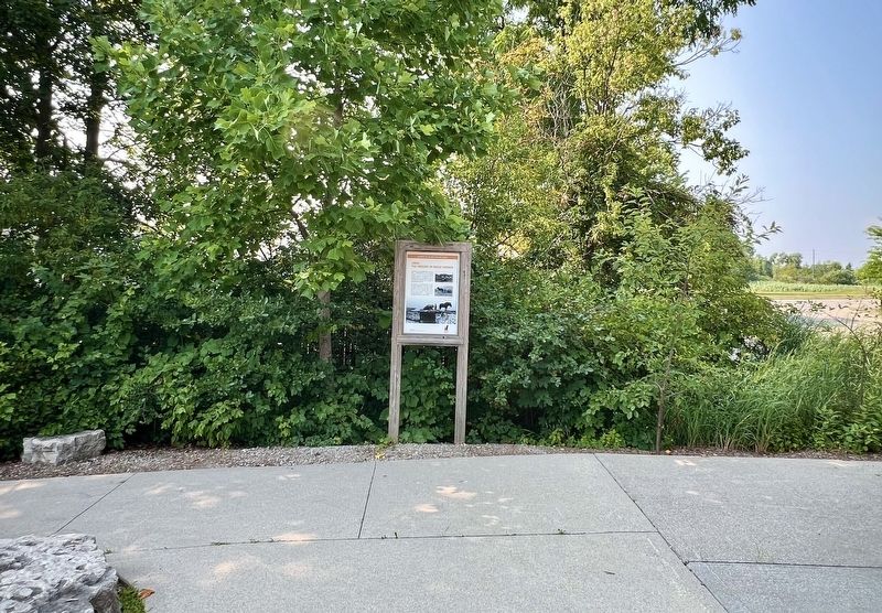
Photographed by Tim Boyd, August 5, 2025
2. 1800s The Origins of Dolly Varden Marker
Photographed by Tim Boyd, August 5, 2025
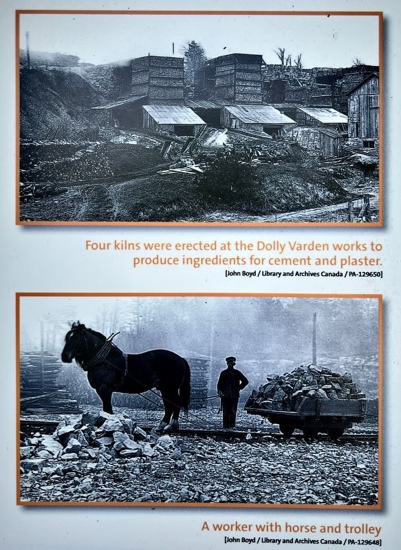
3. 1800s The Origins of Dolly Varden marker photos am captions detail
Photographed by Tim Boyd, August 5, 2025
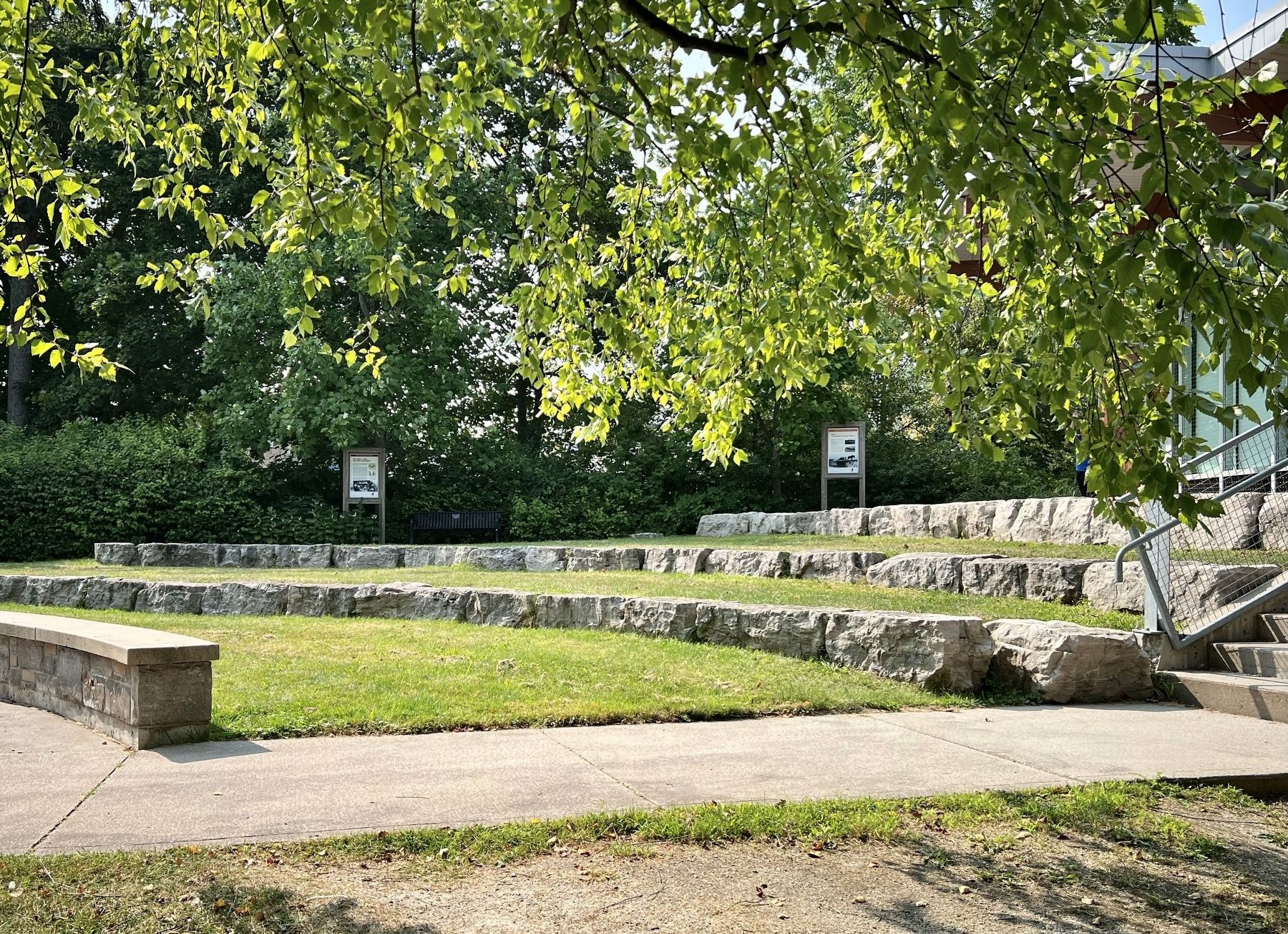
4. The west side of the Acton Public Library, facing toward School Lane
The marker is on the right
Credits. This page was last revised on August 13, 2025. It was originally submitted on August 8, 2025, by Tim Boyd of Hamilton, Ontario. This page has been viewed 113 times since then and 38 times this year. Photos: 1, 2, 3, 4. submitted on August 8, 2025, by Tim Boyd of Hamilton, Ontario. • Andrew Ruppenstein was the editor who published this page.
