
Cañon City in Fremont County, Colorado — The American Mountains (Southwest)
Oil Creek
Photographed by Jeff Holdridge, August 8, 2025
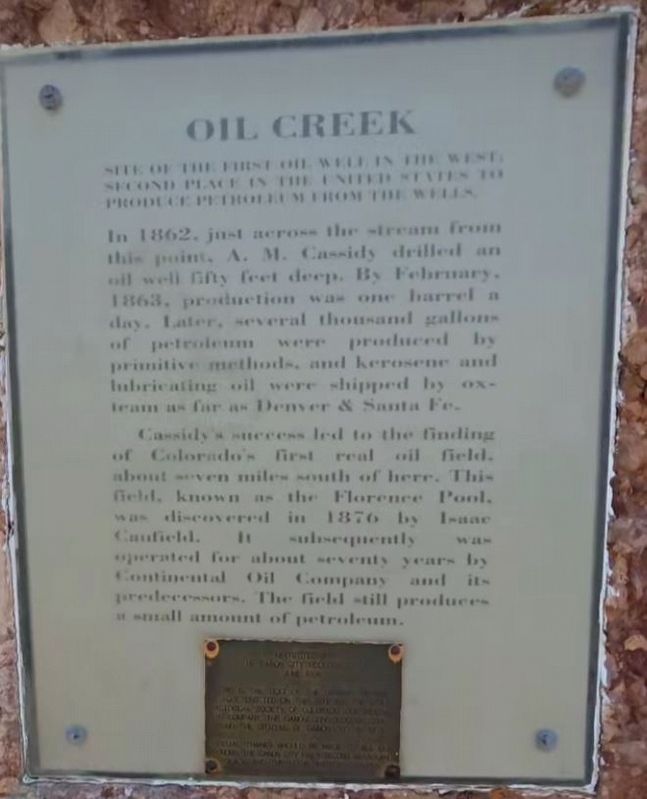
1. Oil Creek Marker
Site of the first oil well in the west? Second place in the United States to produce petroleum from the wells.
In 1862, just across the stream from this point, A. M. Cassidy drilled an oil well fifty feet deep. By February, 1863, production was one barrel a day. Later, several thousand gallons of petroleum were produced by primitive methods, and kerosene and lubricating oil were shipped by ox- team as far as Denver & Santa Fe.
Cassidy's success led to the finding of Colorado's first real oil field, about seven miles south of here. This field, known as the Florence Pool, was discovered in 1876 by Isaac Caufield. It subsequently was operated for about seventy years by Continental Oil Company and its predecessors. The field still produces a small amount of petroleum.
Re-Erected by The Canyon City Geology Club
June 1996
This is the text of the original bronze plaque erected on this site by: The State Historical Society of Colorado, Continental Oil Company, the Canon City Geology Club, and the citizens of Canon City in 1957.
Special thanks should be made to all our donors, the Canon City
this page online
Erected 1996 by Canyon City Geology Club.
Topics. This historical marker is listed in this topic list: Industry & Commerce. A significant historical year for this entry is 1862.
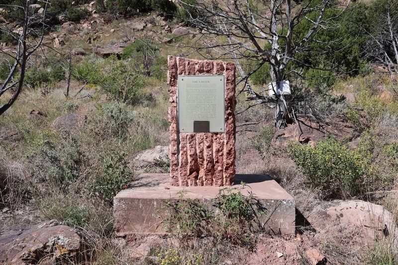
Location. 38° 30.785′ N, 105° 12.738′ W. Marker is in Cañon City, Colorado, in Fremont County. It is on Garden Park Road (County Road 9), on the left when traveling north. The marker is mounted to a small rock monument. Touch for map. Marker is in this post office area: Canon City CO 81212, United States of America. Touch for directions.

Regionally, this marker is in Colorado’s Arkansas River Valley and in Pikes Peak Region. It is also in the American Mountain West. Globally, it is in North America, the Rocky Mountains, the Western Hemisphere, the Western World, and the Anglosphere. Historically, it finds itself in what was once the Comanchería and also the Republic of Texas.
Other nearby markers. At least 8 other markers are within 5 miles of this marker, measured as the crow flies: Where Have The Fossils Gone? (approx. 1.4 miles away); The Morrison Formation (approx. 1.4 miles
Credits. This page was last revised on October 19, 2025. It was originally submitted on August 8, 2025. This page has been viewed 121 times since then and 19 times this year. Photos: 1. submitted on August 8, 2025, by Jeff Holdridge of Pine, Colorado. 2. submitted on October 19, 2025, by Jeffrey Beall of Walsenburg, Colorado. • Andrew Ruppenstein was the editor who published this page.
Editor’s want-list for this marker. photo of the marker within its surroundings • Can you help?
