Georgetown in Halton Hills in Halton Region, Ontario — Central Canada (North America)
Founding of Georgetown
⎯⎯⎯
Fondation de Georgetown
Photographed by Tim Boyd, August 5, 2025
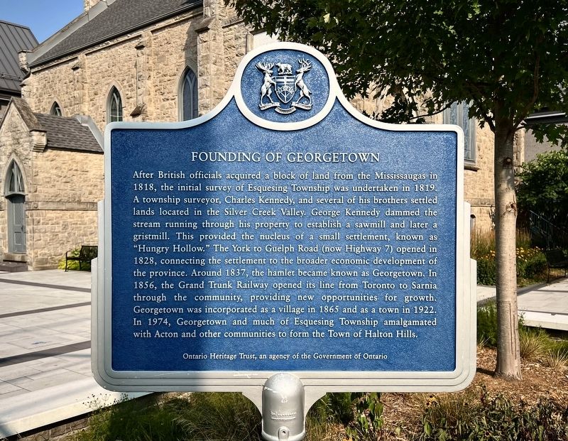
1. Founding of Georgetown Marker

After British officials acquired a block of land from the Mississaugas in 1818, the initial survey of Esquesing Township was undertaken in 1819. A township surveyor, Charles Kennedy, and several of his brothers settled lands located in the Silver Creek Valley. George Kennedy dammed the stream running through his property to establish a sawmill and later a gristmill. This provided the nucleus of a small settlement, known as "Hungry Hollow." The York to Guelph Road (now Highway 7) opened in 1828, connecting the settlement to the broader economic development of the province. Around 1837, the hamlet became known as Georgetown. In 1856, the Grand Trunk Railway opened its line from Toronto to Sarnia through the community, providing new opportunities for growth. Georgetown was incorporated as a village in 1865 and as a town in 1922. In 1974, Georgetown and much of Esquesing Township amalgamated with Acton and other communities to form the Town of Halton Hills.
En 1818, des officiers de l'armée britannique font l'acquisition d'un lot de terrain auprès des Mississauga,
this page online
Erected by Ontario Heritage Trust.
Topics and series. This historical marker is listed in this topic list: Settlements & Settlers.
Photographed by Tim Boyd, August 5, 2025
2. Founding of Georgetown / Fondation de Georgetown Marker
Location. 43° 38.892′ N, 79° 55.562′ W. Marker is in Halton Hills, Ontario, in Halton Region. It is in Georgetown. It is at the intersection of Church Street and Market Street, on the right when traveling east on Church Street. Touch for map. Marker is at or near this postal address: 16 Church St, Halton Hills ON L7G L7G, Canada. Touch for directions.

Regionally, this marker is in Greater Toronto, specifically on the Golden Horseshoe, in the Hamilton-Halton-Brant Area, and specifically in the Toronto Metropolitan Area. It is also in Central Canada. Globally, it is in North America, on the Great Lakes, in the Western Hemisphere, in the Western World, and in the Anglosphere. Historically, it finds itself in what was once a British colony, the Viceroyalty of New France, the Haudenosaunee (Iroquois) Confederacy, and Rupert’s Land.
Other nearby markers. At least 8 other markers are within walking distance of this marker: Congregational Church (here, next to this marker); The Hotel McGibbon (about
Photographed by Tim Boyd, August 5, 2025
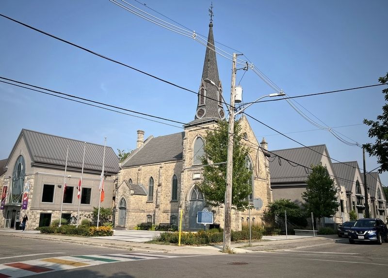
3. Founding of Georgetown / Fondation de Georgetown Marker
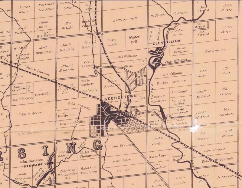
4. Georgetown in 1858
Burlington Public Library (public domain)
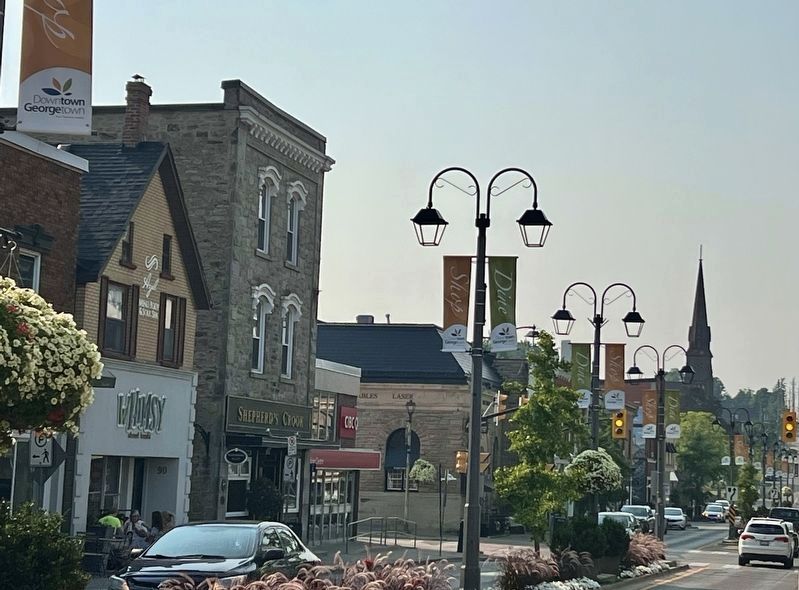
Photographed by Tim Boyd, August 5, 2025
5. Main Street in Georgetown, 2025
Credits. This page was last revised on August 11, 2025. It was originally submitted on August 9, 2025, by Tim Boyd of Hamilton, Ontario. This page has been viewed 100 times since then and 22 times this year. Photos: 1, 2, 3, 4, 5. submitted on August 9, 2025, by Tim Boyd of Hamilton, Ontario. • Andrew Ruppenstein was the editor who published this page.
