
Lakeside in Ottawa County, Ohio — The American Midwest (Great Lakes)
Lakeside Daisy
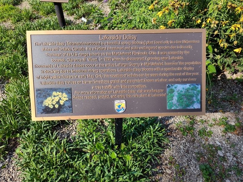
Photographed by Craig Doda, August 7, 2025
1. Lakeside Daisy Marker
Erected by U.S. Fish & Wildlife Service Department of the Interior.
Topics. This historical marker is listed in this topic list: Horticulture & Forestry. A significant historical year for this entry is 1890.
Location. 41° 32.732′ N,
this page online

Regionally, this marker is on the Lake Erie Shore and in the Toledo Metropolitan Area. It is also in the American Midwest and in the Corn Belt. Globally, it is in North America, on the Great Lakes, in the Western Hemisphere, in the Western World, and in the Anglosphere. Historically, it finds itself in what was once the Viceroyalty of New France, the Haudenosaunee (Iroquois) Confederacy, the territory of the Mississippian Culture, and the Northwest Territory.
Other nearby markers. At least 8 other markers are within walking distance of this marker: Perry Park (within shouting distance of this marker); Ross Row (within shouting distance of this marker); Donald & Coralen Bettinger Park (approx. ¼ mile away); Bradley Temple (approx. ¼ mile away); a different marker also
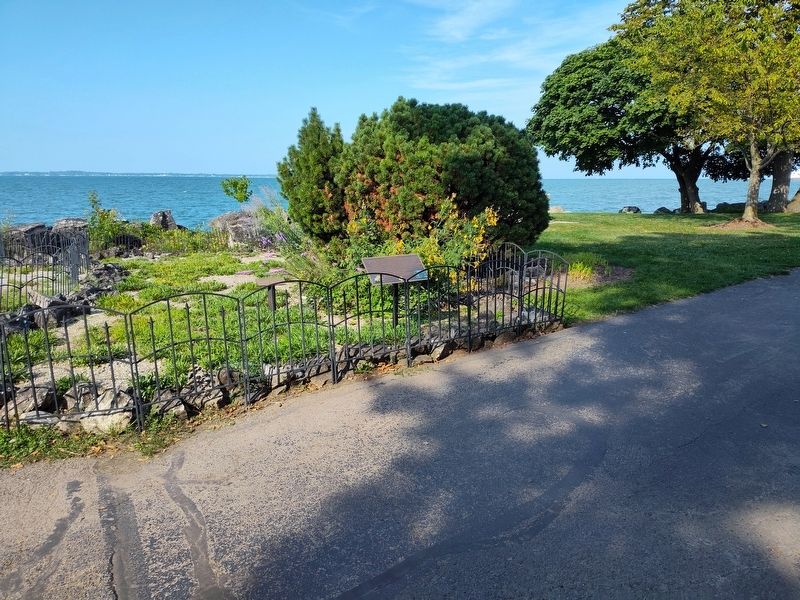
Photographed by Craig Doda, August 7, 2025
2. Lakeside Daisy Marker
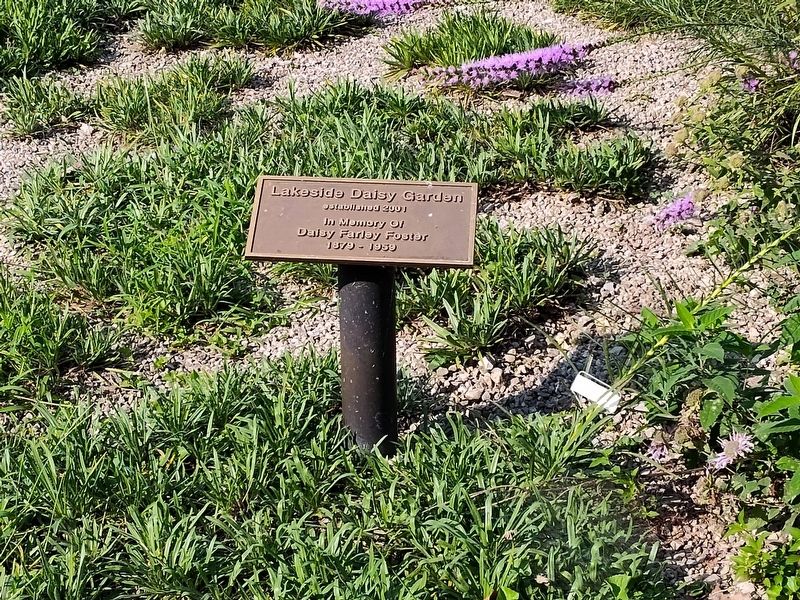
Photographed by Craig Doda, August 7, 2025
3. Lakeside Daisy Marker
Credits. This page was last revised on August 22, 2025. It was originally submitted on August 10, 2025, by Craig Doda of Napoleon, Ohio. This page has been viewed 85 times since then and 13 times this year. Photos: 1, 2, 3. submitted on August 10, 2025, by Craig Doda of Napoleon, Ohio. • Devry Becker Jones was the editor who published this page.
