Angle Inlet in Lake of the Woods County, Minnesota — The American Midwest (Upper Plains)
NW Angle & Islands
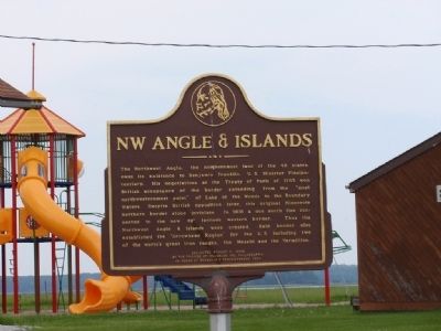
Photographed by Allen, June 24, 2011
1. NW Angle & Islands Marker
Erected 2006 by Friends of Franklin, Inc, Philadelphia.
Topics. This historical marker is listed in this topic list: Political Subdivisions. A significant historical year for this entry is 1783.
Location. 49° 21.178′ N, 95° 4.91′ W. Marker is in Angle Inlet, Minnesota, in Lake of the Woods County. It is at the intersection of Prothero Drive NW (County Road 332) and Birch Drive NW (County Road 332), on the right when traveling north on Prothero Drive NW. The
this page online

Regionally, this marker is in Minnesota’s Northland. It is also in the American Midwest and in the Corn Belt. Globally, it is in North America, the Great North Woods, the Western Hemisphere, the Western World, and the Anglosphere. Historically, it finds itself in what was once Rupert’s Land, the territory of the Mississippian Culture, the Louisiana Purchase, and the Northwest Territory.
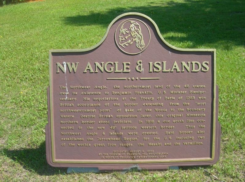
Photographed by Jimmy Emerson, June 2013
2. NW Angle & Islands Marker
Credits. This page was last revised on November 19, 2025. It was originally submitted on July 29, 2012, by Allen of Prairie du Sac, Wisconsin. This page has been viewed 1,474 times since then and 191 times this year. Last updated on August 11, 2025, by Carl Gordon Moore Jr. of North East, Maryland. Photos: 1. submitted on July 29, 2012, by Allen of Prairie du Sac, Wisconsin. 2. submitted on November 9, 2025, by Jimmy Emerson of Dalton, Georgia. • J. Makali Bruton was the editor who published this page.
Editor’s want-list for this marker. Wide shot of marker and its surroundings • Can you help?
