Jefferson Township near Greer in Knox County, Ohio — The American Midwest (Great Lakes)
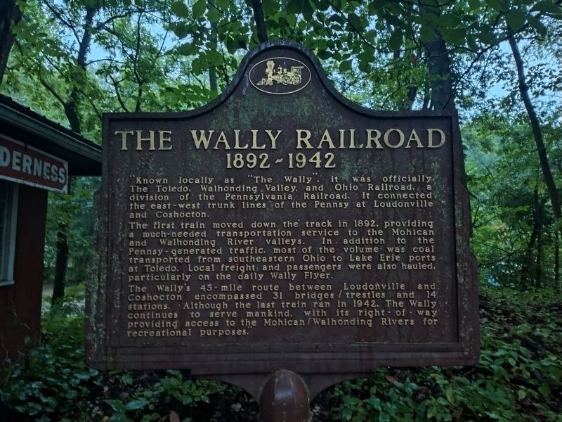
The Wally Railroad
1892 - 1942
Photographed by Craig Doda, July 26, 2025
1. The Wally Railroad Marker
The first train moved down the track in 1892, providing a much-needed transportation service to the Mohican and Walhonding River valleys. In addition to the Pennsy-generated traffic, most of the volume was coal transported from southeastern Ohio to Lake Erie ports at Toledo. Local freight and passengers were also hauled. particularly on the daily Wally Flyer.
The Wally's 45-mile route between Loudonville and Coshocton encompassed 31 bridges / trestles and 14 stations. Although the last train ran in 1942, The Wally continues to serve mankind, with its right of way providing access to the Mohican/Walhonding Rivers for recreational purposes.”
Topics. This historical marker is listed in this topic list: Railroads & Streetcars. A significant historical year for this entry is 1892.
Location. 40° 33.152′ N, 82° 11.953′ W. Marker is near Greer, Ohio, in Knox County. It is in Jefferson Township. It is at the
this page online

Regionally, this marker is in Amish Country. It is also in the American Midwest and in the Corn Belt. Globally, it is in North America, the Western Hemisphere, the Western World, and the Anglosphere. Historically, it finds itself in what was once the Haudenosaunee (Iroquois) Confederacy, the territory of the Mississippian Culture, and the Northwest Territory.
Other nearby markers. At least 8 other markers are within walking distance of this marker: Southern Cross Windmill (about 400 feet away, measured in a direct line); Mohican Log Cabin (about 700 feet away); Mohican State Scenic River (approx. 0.2 miles away); Wally Road Scenic Byway (approx. 0.2 miles away); Grande Allée (approx. 0.3 miles away); 1890's Bank Barn (approx. 0.6 miles away); Walnut Grove School #10 (approx. 0.7 miles away); Covered Bridge (approx. ¾ mile away). Touch for a list and map
Photographed by Craig Doda, July 26, 2025
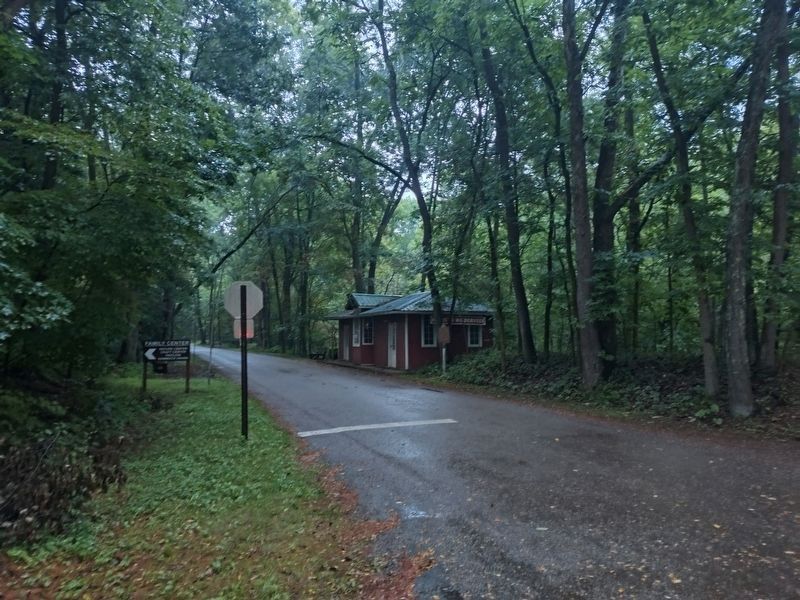
2. The Wally Railroad Marker
Credits. This page was last revised on August 13, 2025. It was originally submitted on August 12, 2025, by Craig Doda of Napoleon, Ohio. This page has been viewed 202 times since then and 114 times this year. Photos: 1, 2. submitted on August 12, 2025, by Craig Doda of Napoleon, Ohio. • Andrew Ruppenstein was the editor who published this page.
