Liberty in Clay County, Missouri — The American Midwest (Upper Plains)
Clay County's Roll of Honor
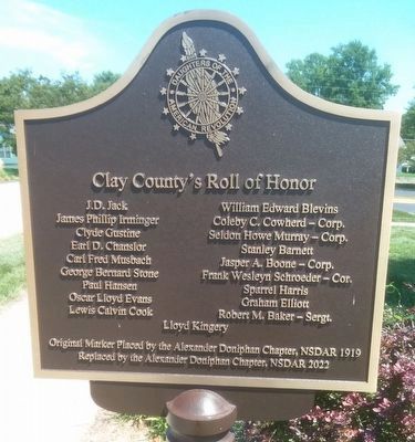
Photographed by Tony Meyers, August 15, 2025
1. Clay County's Roll of Honor Marker
Clay County’s Roll of Honor
J.D. Jack · William Edward Blevins · James Phillip Irminger · Coleby C. Cowherd-Corp. · Clyde Gustine · Seldon Howe Murray-Corp. · Earl D. Chanslor · Stanley Barnett · Carl Fred Musbach · Jasper A. Boone-Corp. · George Bernard Stone · Frank Wesleyn Schroeder-Cor. · Paul Hansen · Sparrel Harris · Oscar Lloyd Evans · Graham Elliott · Lewis Calvin Cook · Robert M. Baker-Sergt. · Lloyd Kingery
Erected 2022 by Alexander Doniphan Chapter, NSDAR.
Topics and series. This memorial is listed in this topic list: War, World I. In addition, it is included in the Daughters of the American Revolution (DAR) series list.
Location. 39° 14.761′ N, 94° 25.046′ W. Memorial is in Liberty, Missouri, in Clay County. It is at the intersection of East Kansas Street and South Leonard Street, on the right when traveling east on East Kansas Street. Touch for map. Memorial is at or near this postal address: 301 East Kansas Street, Liberty MO 64068, United States of America. Touch for directions.

Regionally, this memorial is in the Missouri River
this page online
Other nearby markers. At least 8 other markers are within walking distance of this marker: Methodist Episcopal Church Founded 1822 (within shouting distance of this marker); Frank Hughes Memorial Library (about 400 feet away, measured in a direct line); John Dougherty (about 500 feet away); Founding Fathers (about 500 feet away); Kansas City to Liberty to Excelsior Springs Interurban Depot (about 500 feet away); Veterans Memorial (about 500 feet away); Clay County American Revolution Veterans (about 600 feet away); Jurisprudence (about 600 feet away). Touch for a list and map of all markers in Liberty.
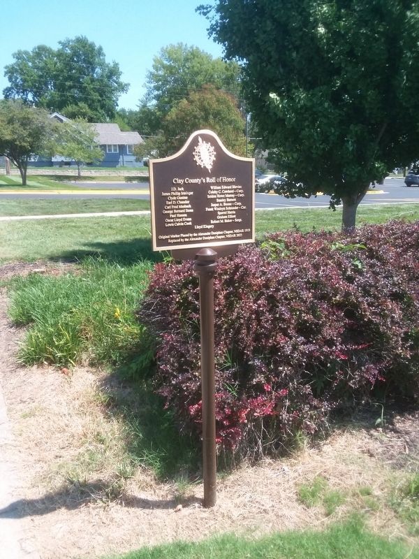
Photographed by Tony Meyers, August 15, 2025
2. Clay County's Roll of Honor Marker
Credits. This page was last revised on August 18, 2025. It was originally submitted on August 16, 2025, by Tony Meyers of Liberty, Missouri. This page has been viewed 116 times since then and 29 times this year. Photos: 1, 2. submitted on August 16, 2025, by Tony Meyers of Liberty, Missouri. • Andrew Ruppenstein was the editor who published this page.
