Downtown Yonge East in Toronto, Ontario — Central Canada (North America)
The Association of Provincial Land Surveyors of Ontario
Photographed by Andrew Ruppenstein, August 11, 2025
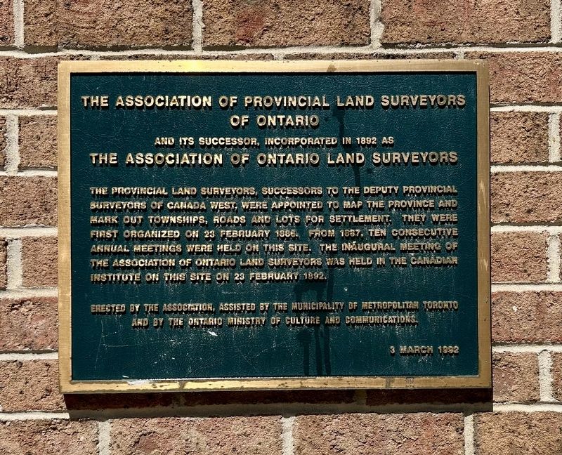
1. The Association of Provincial Land Surveyors of Ontario Marker
The Association of Provincial Land Surveyors of Ontario and its successor, incorporated in 1892 as the Association of Ontario Land Surveyors
The provincial land surveyors, successors to the deputy provincial surveyors of Canada West, were appointed to map the province and mark out townships, roads and lots for settlement. They were first organized on 23 February 1886. From 1887, ten consecutive annual meetings were held on this site. The inaugural meeting of the Association of Ontario Land Surveyors was held in the Canadian Institute on this site on 23 February 1892.
Erected 1992 by Association of Ontario Land Surveyors, Municipality of Metropolitan Toronto.
Topics. This historical marker is listed in these topic lists: Political Subdivisions • Settlements & Settlers. A significant historical date for this entry is February 23, 1886.
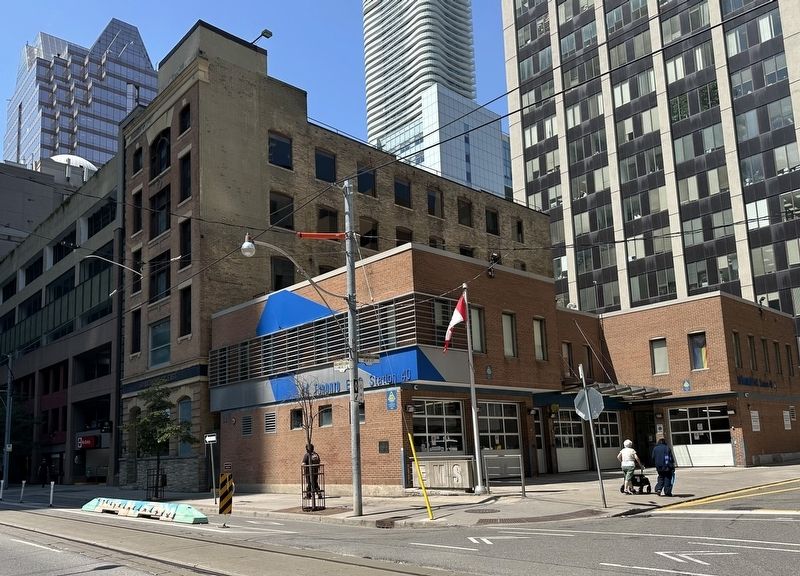
Location. 43° 39.139′ N, 79° 22.595′ W. Marker is in Toronto, Ontario. It is in Downtown Yonge East. It is at the intersection of Richmond Street East and Berti Street, on the right when traveling west on Richmond Street East. Touch for map. Marker is at or near this postal address:
this page online

Regionally, this marker is in Greater Toronto and on the Golden Horseshoe. It is also in Central Canada. Globally, it is in North America, on the Great Lakes, in the Western Hemisphere, in the Western World, and in the Anglosphere. Historically, it finds itself in what was once a British colony, the Viceroyalty of New France, the Haudenosaunee (Iroquois) Confederacy, and Rupert’s Land.
Other nearby markers. At least 8 other markers are within walking distance of this marker: ‘Deeds Speak’ Sculptural Reliefs (within shouting distance of this marker); Metropolitan United Church (about 90 meters away, measured in a direct line); Albert Jackson (about 90 meters away); Toronto's Eighth Post Office (about 90 meters away); Jackie Shane (1940-2019) (about 120 meters away); Town Tavern (about 150 meters away); St. James Parking Garage (about 150 meters away); Adelaide Street Court House (about 150 meters away). Touch for a list and map of all markers in Toronto.
Another marker is no longer nearby. Confederation Life Building (was about 150 meters
Photographed by Andrew Ruppenstein, August 11, 2025
2. The Association of Provincial Land Surveyors of Ontario Marker - wide view
Credits. This page was last revised on August 17, 2025. It was originally submitted on August 17, 2025, by Andrew Ruppenstein of Lamorinda, California. This page has been viewed 102 times since then and 30 times this year. Photos: 1, 2. submitted on August 17, 2025, by Andrew Ruppenstein of Lamorinda, California.
