Hempfield Township in Hannastown in Westmoreland County, Pennsylvania — The American Northeast (Mid-Atlantic)
Hannastown Fort
Photographed by Bradley Owen, August 15, 2025
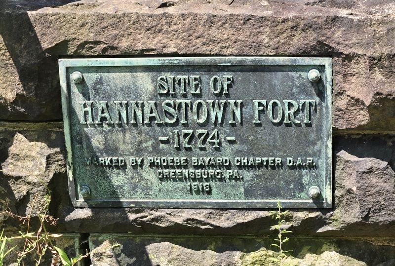
1. Hannastown Fort Marker
Hannastown Fort
- 1774 -
Erected 1913 by the Phoebe Bayard Chapter D.A.R. Greensburg, Pa.
Topics and series. This historical marker is listed in this topic list: Forts and Castles. In addition, it is included in the Daughters of the American Revolution (DAR) series list. A significant historical year for this entry is 1774.
Location. 40° 20.666′ N, 79° 30.452′ W. Marker is in Hannastown, Pennsylvania, in Westmoreland County. It is in Hempfield Township. It can be reached from Forbes Trail Road (Pennsylvania Route 1032) 0.1 miles west of Hannastown Road ( Route 1055), on the right when traveling west. Marker is located on the grounds of Historic Hanna's Town. Touch for map. Marker is at or near this postal address: 809 Forbes Trail Road, Hannastown PA 15635, United States of America. Touch for directions.

Regionally, this marker is in the Laurel Highlands and in Greater Pittsburgh. It is also in the American Northeast, in the Mid-Atlantic, in Appalachia, and specifically in Northern Appalachia. Globally, it is in North America, the Western Hemisphere, the Western World, and the Anglosphere. Historically,
this page online
Other nearby markers. At least 8 other markers are within walking distance of this marker: Law and Order (within shouting distance of this marker); For Safety and Survival (about 300 feet away, measured in a direct line); Peggy Shaw (about 400 feet away); Historic Hanna's Town (about 400 feet away); Hanna's Town (about 600 feet away); Hannastown (approx. 0.4 miles away); Hannastown Farm (approx. 0.6 miles away); Hannastown Honor Roll (approx. 0.8 miles away). Touch for a list and map of all markers in Hannastown.
Photographed by Bradley Owen, August 15, 2025
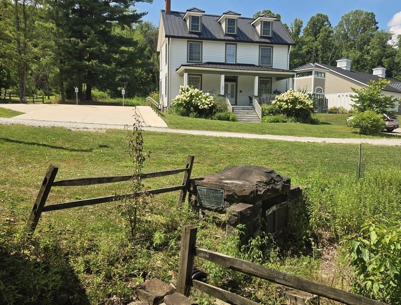
2. Hannastown Fort Marker
The Westmoreland County Historical Society is in the background.
Credits. This page was last revised on August 18, 2025. It was originally submitted on August 18, 2025, by Bradley Owen of Morgantown, West Virginia. This page has been viewed 99 times since then and 23 times this year. Photos: 1, 2. submitted on August 18, 2025, by Bradley Owen of Morgantown, West Virginia.
