Milton in Halton Region, Ontario — Central Canada (North America)
The Associate Presbyterian Church
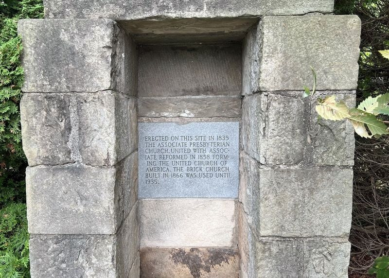
Photographed by Tim Boyd, August 17, 2025
1. The Associate Presbyterian Church Marker
Topics. This historical marker is listed in this topic list: Religion & Religious Structures. A significant historical year for this entry is 1835.
Location. 43° 33′ N, 79° 54.685′ W. Marker is in Milton, Ontario, in Halton Region. It is on Third Line 0.1 kilometers north of 5 Side Road, on the left when traveling north. Touch for map. Marker is at or near this postal address: 9018 3 Line, Milton ON L9T 2X9, Canada. Touch for directions.

Regionally, this marker is in Greater Toronto, specifically on the Golden Horseshoe, in the Hamilton-Halton-Brant Area, and specifically in the Toronto Metropolitan Area. It is also in Central Canada. Globally, it is in North America, on the Great Lakes, in the Western Hemisphere, in the Western World, and in the Anglosphere. Historically, it finds itself in what was once a British colony, the Viceroyalty of New France, the Haudenosaunee (Iroquois) Confederacy, and Rupert’s Land.
this page online
Other nearby markers. At least 8 other markers are within 5 kilometers of this marker, measured as the crow flies: The Boston Cemetery Association (approx. half a kilometer away); Boston Presbyterian Church (approx. half a kilometer away); The P.L. Robertson Manufacturing Company (approx. 4.5 kilometers away); Former Milton Town Hall (approx. 4.6 kilometers away); The Fred W. Armstrong Arena (approx. 4.9 kilometers away); Victoria Park (approx. 4.9 kilometers away); Milton Cenotaph (approx. 4.9 kilometers away); Halton County Court House (approx. 4.9 kilometers away). Touch for a list and map of all markers in Milton.
Also see . . . First Secession (the Associate Presbyterian Church) - Wikipedia.
The First Secession was an exodus of ministers and members from the Church of Scotland in 1733. Those who took part formed the Associate Presbytery and later the United Secession Church. They were often referred to as Seceders.(Submitted on August 18, 2025, by Tim Boyd of Hamilton, Ontario.)
The underlying principles of the split focused upon issues of ecclesiology and ecclesiastical polity, especially in the perceived threat lay patronage represented to the right of a congregation to chooseits own minister.Photographed by Tim Boyd, August 17, 20252. The Associate Presbyterian Church Marker
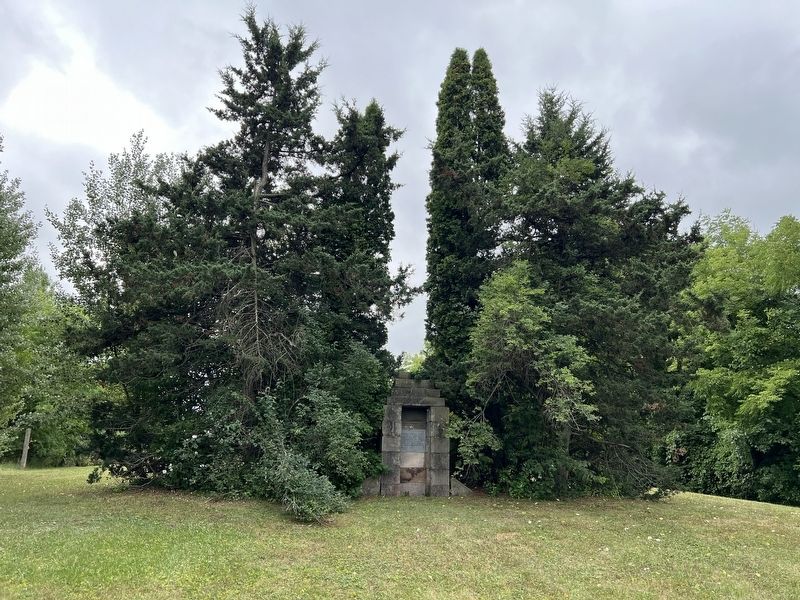
Photographed by Tim Boyd, August 17, 2025
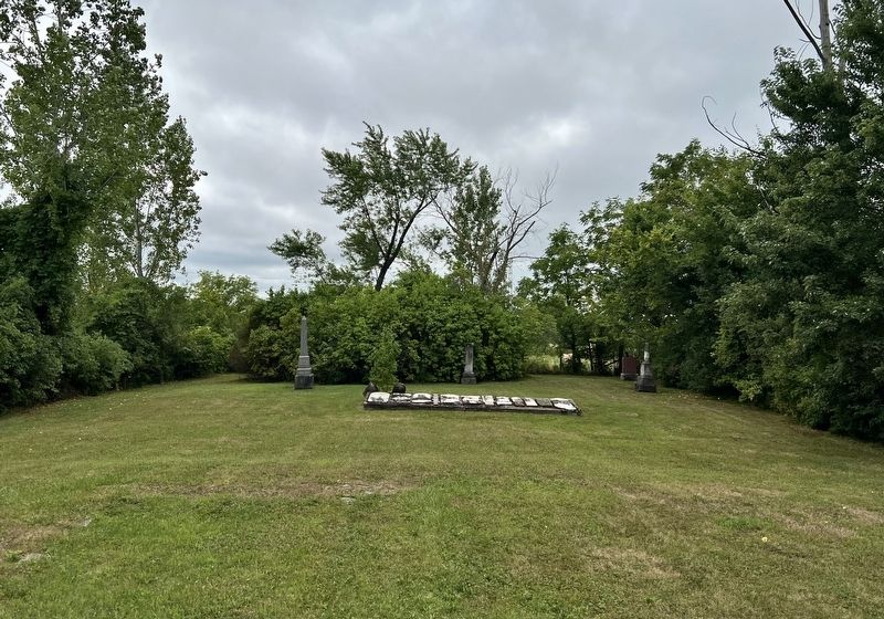
3. The Associate Presbyterian Church cemetery
Looking from behind the marker, the foundation of the church is visible in the foreground
Photographed by Tim Boyd, August 17, 2025
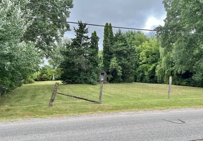
4. The Associate Presbyterian Church Marker
From Third Line
Credits. This page was last revised on August 18, 2025. It was originally submitted on August 18, 2025, by Tim Boyd of Hamilton, Ontario. This page has been viewed 74 times since then and 12 times this year. Photos: 1, 2, 3, 4. submitted on August 18, 2025, by Tim Boyd of Hamilton, Ontario. • Andrew Ruppenstein was the editor who published this page.
