
Inner Harbor in Baltimore, Maryland — The American Northeast (Mid-Atlantic)
Mob Scene
Star-Spangled Banner National Historic Site
| — | National Park Service, U.S. Department of the Interior | — |
Photographed by Don Morfe, December 20, 2014
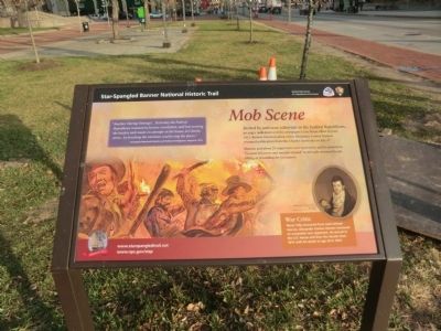
1. Mob Scene Marker
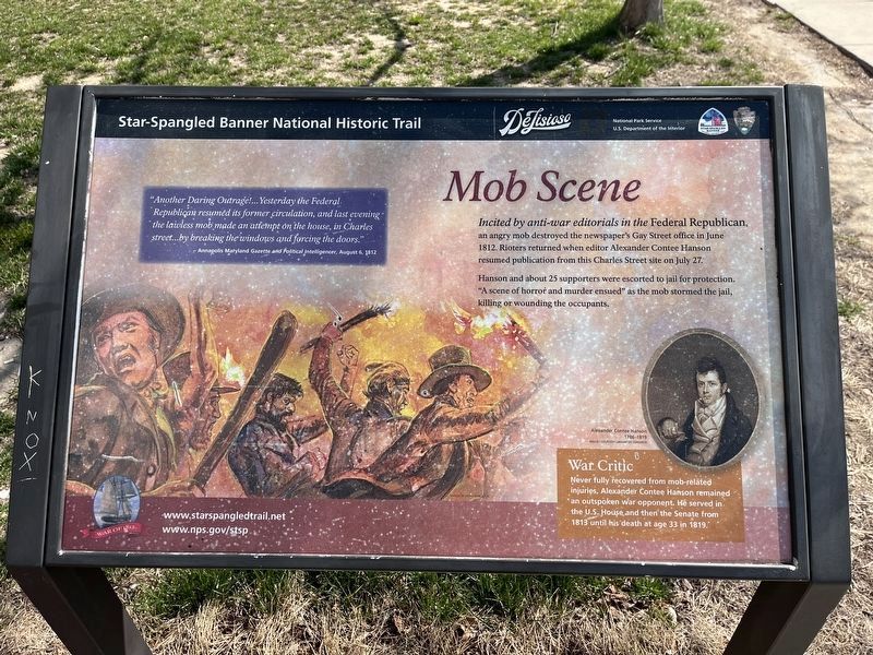
Incited by anti-war editorials in the Federal Republican, an angry mob destroyed the newspaper’s Gay Street office in June 1812. Rioters returned when editor Alexander Contee Hanson resumed publication from the Charles Street site on July 27.
Hanson and about 25 supporters were escorted to jail for protection. “A scene of horror and murder ensued” as the mob stormed the jail, killing or wounded the occupants.
War Critic
Never fully recovered from mob-related injuries, Alexander Contee Hanson remained an outspoken war opponent. He served in the U.S. House and then the Senate from 1813 until his death at age 33 in 1819. (Inscription beside the photo on the right) Alexander Contee Hanson 1786-1819. Image/Courtesy Library of Congress.
“Another Daring Outrage!…Yesterday the Federal Republican resumed its former circulation, and last evening the lawless mob made an attempt on the house, in Charles Street…by breaking the windows and forcing the doors.”
Annapolis Maryland Gazette and Political Intelligencer, August 6, 1812.
Erected by National Park Service, U.S. Department of the Interior.
Topics and series.
this page online
Location. 39° 17.199′ N, 76° 36.886′ W. Marker is in Baltimore, Maryland. It is in the Inner Harbor. It is at the intersection of Charles Street and East Pratt Street on Charles Street. The marker is located on the Transamerica Building Plaza. Touch for map. Marker is at or near this postal address: 10 E Pratt St, Baltimore MD 21202, United States of America. Touch for directions.

Regionally, this marker is in Central Maryland. It is also in the American Mid-Atlantic, in the Chesapeake Bay Region, and on the Eastern Seaboard. Globally, it is in the North Atlantic Region, North America, the Western Hemisphere, the Western World, and the Anglosphere. Historically, it finds itself in what was once one of the original Thirteen Colonies and also the Antebellum South.
Other nearby markers. At least 8 other markers are within walking distance of this marker: City Center (about 300 feet away, measured in a direct line); Theodore R. McKeldin
Photographed by Devry Becker Jones (CC0), March 22, 2024
2. Mob Scene Marker
The marker has weathered since its original photograph, although it remains generally legible.
Another marker is no longer nearby. Baltimore Riot Trail (was about 400 feet away but has been replaced with another marker now near it).
Photographed by Don Morfe, December 20, 2014
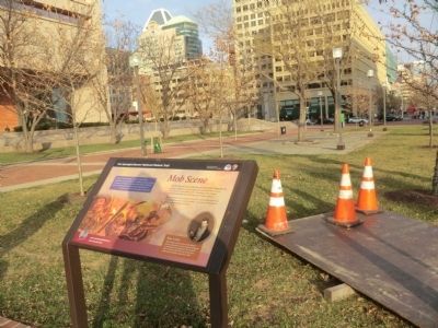
4. Mob Scene Marker
This is a photo of the marker in its previous environs.
Credits. This page was last revised on September 29, 2025. It was originally submitted on December 24, 2014, by Don Morfe of Baltimore, Maryland. This page has been viewed 1,335 times since then and 32 times this year. Last updated on August 18, 2025, by Evan Dwyer of Richmond, Virginia. Photos: 1. submitted on December 24, 2014, by Don Morfe of Baltimore, Maryland. 2. submitted on March 23, 2024, by Devry Becker Jones of Washington, District of Columbia. 3. submitted on December 11, 2022, by Devry Becker Jones of Washington, District of Columbia. 4. submitted on December 24, 2014, by Don Morfe of Baltimore, Maryland. • Devry Becker Jones was the editor who published this page.
