Silver Cliff Mine
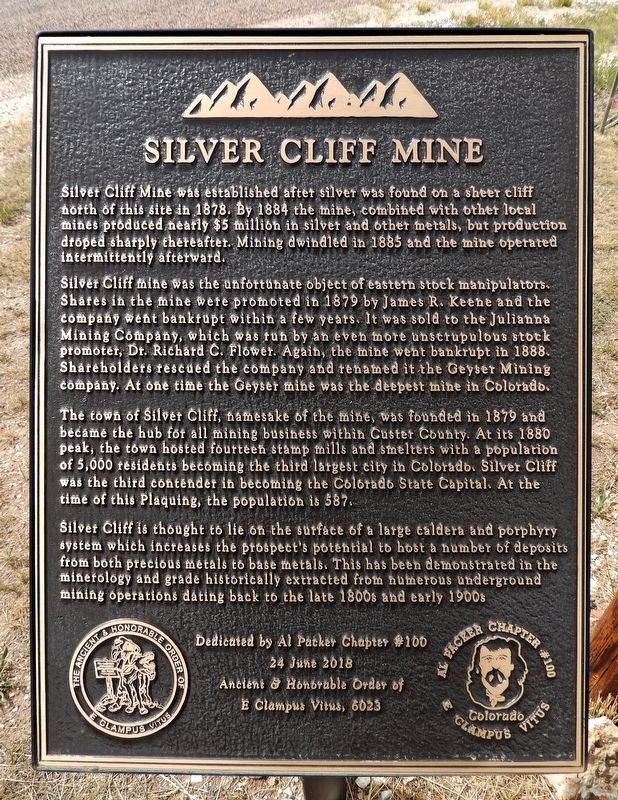
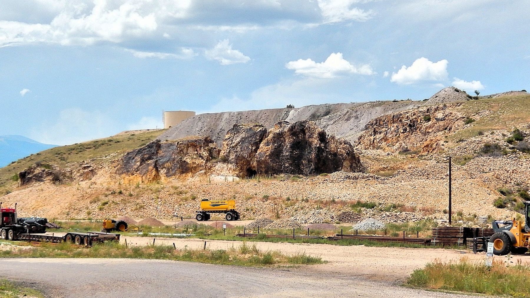
Silver Cliff Mine was established after silver was found on a sheer cliff north of this side in 1878. By 1884 the mine, combined with other local mines produced nearly $5 million in silver and other metals, but production dropped sharply thereafter. Mining dwindled in 1885 and the mine operated intermittently afterward.
Silver Cliff mine was the unfortunate object of eastern stock manipulators. Shares in the mine were promoted in 1879 by James R. Keene and the company went bankrupt within a few years. It was sold to the Julianna Mining Company, which was run by an even more unscrupulous stock promoter, Dr. Richard C. Flower. Again, the mine when bankrupt in 1888. Shareholders rescued the company and renamed it the Geyser Mining Company. At one time the Geyser mine was the deepest mine in Colorado.
The town of Silver Cliff, namesake of the mine, was founded in 1879 and became the hub for all mining business within Custer County. At its 1880 peak, the town hosted fourteen stamp mills and smelters with a population of 5,000 residents becoming the third largest city in Colorado. Silver Cliff was the third contender in becoming
this page online
Silver Cliff is thought to lie on the surface of a large caldera and porphyry system which increases the prospect’s potential to host a number of deposits from both precious metals to base metals. This has been demonstrated in the minerology and grade historically extracted from numerous underground mining operations dating back to the late 1800s and early 1900s.
Erected 2018 by Al Packer Chapter 100, Ancient & Honorable Order of E Clampus Vitus. (Marker Number 6023.)
Topics and series. This historical marker is listed in these topic lists: Industry & Commerce • Settlements & Settlers. In addition, it is included in the E Clampus Vitus series list. A significant historical year for this entry is 1878.
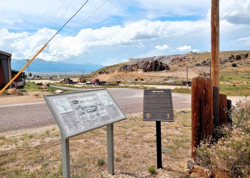
Location. 38° 8.212′ N, 105° 26.432′ W. Marker is in Silver Cliff, Colorado, in Custer County. It is at the intersection of French Street and Cliff Street, on the right when traveling north on French Street. The marker is located in an interpretive wayside, ½ block north of Main Street (Colorado Highway 96). Touch for map. Marker is in this post office

Regionally, this marker is in the American Mountain West. Globally, it is in North America, the Rocky Mountains, the Western Hemisphere, the Western World, and the Anglosphere. Historically, it finds itself in what was once the Comanchería and also the Republic of Texas.
Other nearby markers. At least 8 other markers are within 2 miles of this marker, measured as the crow flies: Seeking the Lights (a few steps from this marker); Silver Cliff Museum (approx. ¼ mile away); The Men Who Explored with Zebulon Pike (approx. ¼ mile away); The Spirit of '76 Century Time Capsule (approx. 1.4 miles away); Westcliff School (approx. 1.4 miles away); For God and Country (approx. 1½ miles away); Hope Lutheran Church (approx. 1½ miles away); The Wolff Hotel (approx. 1½ miles away). Touch for a list and map of all markers in Silver Cliff.
Also see . . .
1. Silver Cliff, Colorado (Wikipedia).
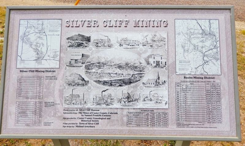
Excerpt: Silver Cliff was formed in the late 1870s to house the miners of its namesake, the Silver Cliff mine, and other silver mines in the neighborhood, such(Submitted on August 20, 2025, by Cosmos Mariner of Cape Canaveral, Florida.)as the Bull-Domingo. Silver Cliff was the county seat from 1886 (when the town won the seat from Rosita) to 1928 (when the seat moved to nearby Westcliffe). The Silver Cliff mine, also known as the Geyser mine, is on the hill immediately north of the town. Although a large operation that employed many residents of Silver Cliff.Photographed by Cosmos Mariner, July 25, 20253. Silver Cliff Mining MarkerThis older interpretive panel is located beside the E Clampus Vitus historical marker.
2. Silver Cliff, Colorado History (SilverCliffCo.com).
Excerpt: Silver Cliff came into being when silver was found on a sheer cliff beside the present location of the town. In June 1878, it was discovered the dark greasy-looking rock, when melted, turned out to be 75% silver and was given the name horn silver. Silver Cliff's "boom" then began.(Submitted on August 20, 2025, by Cosmos Mariner of Cape Canaveral, Florida.)Silver Cliff is indicative of the "boom and bust" cycle that was typical of many Colorado mining communities in the late 19th century. Perhaps the best description was provided by Crofutt, in his 1881 Grip-Sack Guide, who described Silver Cliff as “the infant of September 1878, the mushroom of 1879, and the giant of 1880.” By 1881, estimates of the number of people living in
Silver Cliff ranged from 6,000 to 16,000. The official census, conducted in June 1880, listed a population of 5,040. This figure placed Silver Cliff as the state's third largest city, behind only Denver and Leadville.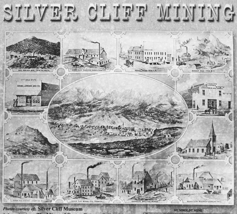 4. Silver Cliff Mining Marker photosBull Domingo Mine, from the south
• Silver Cliff Smelting Works, from N.W.
• Powell House, from N.E.
• Bassik Mine, from S.E.
• City Drug Store, Brind, Lowdon and Co.
• Round Mountain, showing Plata Verde Mine
• View of Silver Cliff, from base of Round Mountain
• Jordan’s Livery, Feed & Sale Stable
• Presbyterian Church, from N.W.
• Hanna and Bourne Stamping Mill
• Silver Cliff Mining Co’s Stamp Mill
• Chambers Smelting Works
• Silver Cliff Milling Co’s Sampling Mill
— photos courtesy of Silver Cliff MuseumDespite its large population, the terminus of the D&RG RR was placed a mile to the west in 1881, securing the existence of Westcliffe. And by 1882, the process of decline for Silver Cliff had begun. The mining boom was over, and with the closing of mines and mills, businesses began to close and the population decreased. Many businessmen and home owners put their buildings on rollers and moved them to Westcliffe. Abandonment of a nearby railroad line in 1888 further isolated the town and by 1900, the official census records listed a population of 576.
Credits. This page was last revised on August 20, 2025. It was originally submitted on August 18, 2025, by Cosmos Mariner of Cape Canaveral, Florida. This page has been viewed 127 times since then and 51 times this year. Photos: 1, 2, 3, 4, 5. submitted on August 20, 2025, by Cosmos Mariner of Cape Canaveral, Florida.
