
Higginsville in Lafayette County, Missouri — The American Midwest (Upper Plains)
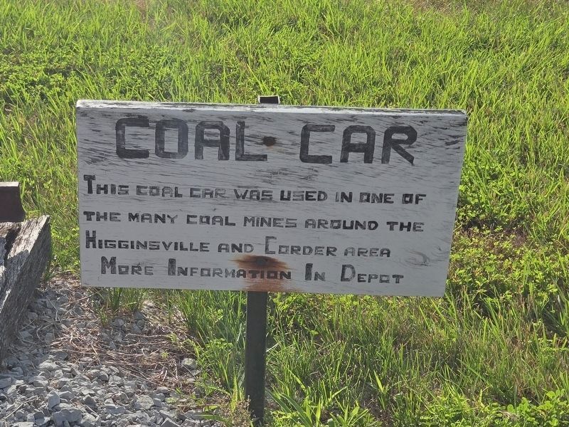
Coal Car
Photographed by Mark Parker, July 5, 2025
1. Coal Car Marker
More information in depot.
Topics. This historical marker is listed in these topic lists: Industry & Commerce • Railroads & Streetcars.
Location. 39° 4.413′ N, 93° 43.018′ W. Marker is in Higginsville, Missouri, in Lafayette County. It is at the intersection of South Main Street (Business Missouri Route 13) and West 22nd Street, on the right when traveling north on South Main Street. Location of the marker is the Higginsville Depot Museum. Touch for map. Marker is at or near this postal address: 2113 S Main Street, Higginsville MO 64037, United States of America. Touch for directions.

Regionally, this marker is in the Missouri River Corridor. It is also in the American Midwest, in the Lewis & Clark Corridor, in the Corn Belt, and on the Santa Fe Trail Corridor. Globally, it is in North America, the Western Hemisphere, the Western World, and the Anglosphere. Historically, it finds itself in what was once the territory of the Mississippian Culture, the Louisiana
this page online
Other nearby markers. At least 8 other markers are within 2 miles of this marker, measured as the crow flies: Lafayette County's First Railroad (approx. 0.4 miles away); Confederate Soldiers' Monument (approx. 1.7 miles away); Missouri's Confederate Home (approx. 1.7 miles away); In Memory of Those Who Gave Their All (approx. 1.8 miles away); Sailors and Marines Memorial (approx. 1.8 miles away); Confederate Home Chapel Restoration (approx. 1.8 miles away); Confederate Memorial State Historic Site (approx. 1.9 miles away); Confederate States of America - Battle Flags (approx. 1.9 miles away). Touch for a list and map of all markers in Higginsville.
Other markers no longer nearby. Confederate Memorial Park (was approx. 1.7 miles away but has been permanently removed); Their Waning Years (was approx. 1.7 miles away but has been permanently removed); Cottage Row [and] The Confederate Home Chapel (was approx. 1.8 miles away but has been permanently removed); The Confederate Home of Missouri (was approx. 1.8 miles away but has been permanently removed).
Photographed by Mark Parker, July 5, 2025
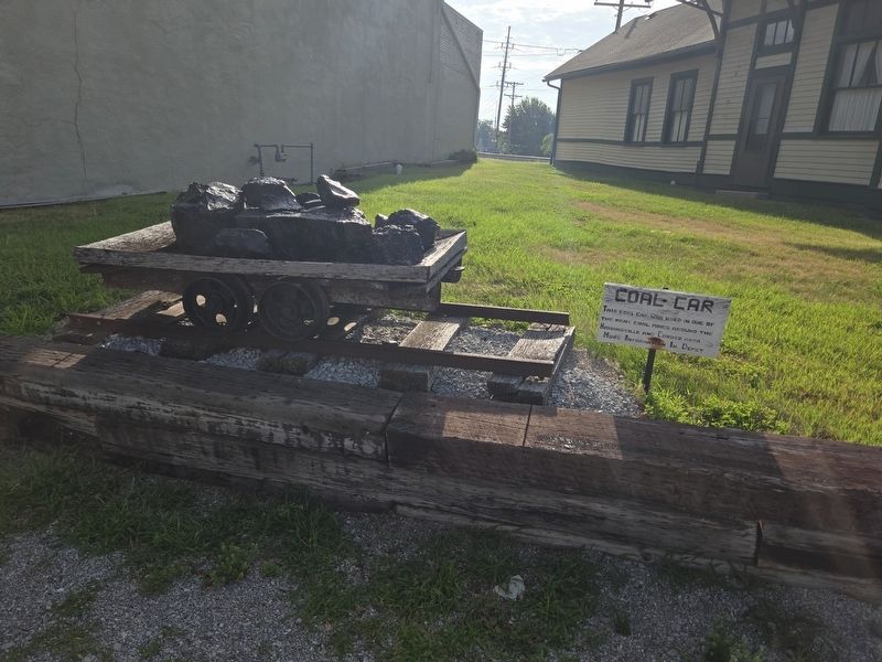
2. Coal Car and Marker
Photographed by Mark Parker, July 5, 2025
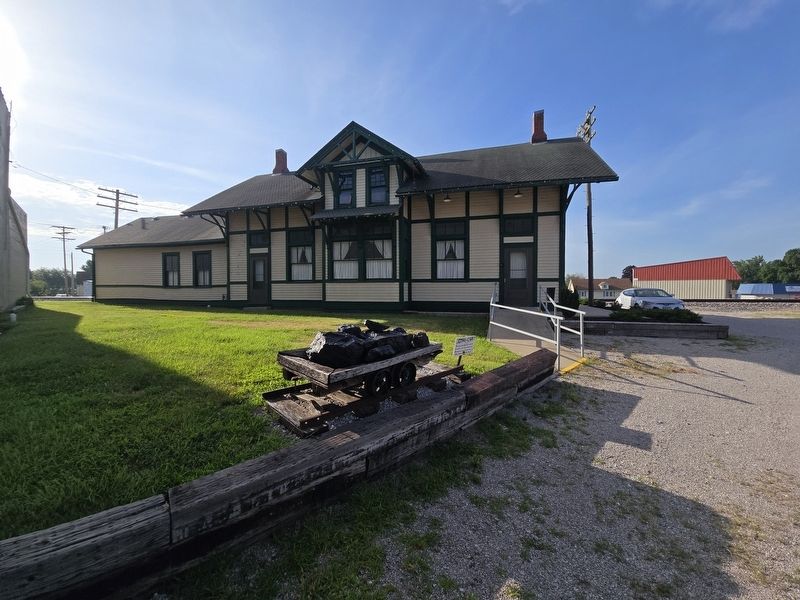
3. Coal Car Marker at the Higginsville Depot Museum
Credits. This page was last revised on August 25, 2025. It was originally submitted on August 21, 2025, by Mark Parker of Hickory, North Carolina. This page has been viewed 68 times since then and 16 times this year. Photos: 1, 2, 3. submitted on August 21, 2025, by Mark Parker of Hickory, North Carolina. • Andrew Ruppenstein was the editor who published this page.
