
Niagara Falls in Niagara Region, Ontario — Central Canada (North America)
Ontario Hydro Memorial
Photographed by Kevin Westell, August 18, 2025
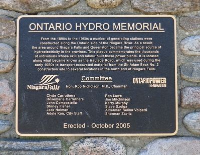
1. Ontario Hydro Memorial - Marker
Committee
Hon. Rob Nicholson, M.P., Chairman
Clyde Carruthers
Rosemarie Carruthers
John Compostella
Shirley Fisher
Jack Holman
Adele Kon, City Staff
Ron Lowe
Jim Mitchinson
Kerry Murphy
Steve Szolga
Alderman Selina Volpatti
Sherman Zavitz
Erected 2005.
Topics. This historical marker and memorial is listed in this topic list: Industry & Commerce. A significant historical year for this entry is 1890.
Location. 43° 7.999′ N, 79° 6.295′ W. Marker is in Niagara Falls, Ontario, in Niagara Region. It can be reached
this page online

Regionally, this marker and memorial is on Ontario’s Golden Horseshoe and in Niagara Canada. It is also in Central Canada. Globally, it is in North America, on the Great Lakes, in the Western Hemisphere, in the Western World, and in the Anglosphere. Historically, it finds itself in what was once a British colony, the Viceroyalty of New France, the Haudenosaunee (Iroquois) Confederacy, and Rupert’s Land.
Other nearby markers. At least 8 other markers are within walking distance of this marker: Haulage Road Recreational Trail (approx. half a kilometer away); Oswald Regency Cottage circa 1835 (approx. 0.6 kilometers away); Indian Ossuary (approx. 0.6 kilometers away); Stamford Cottage (approx. 0.6 kilometers away); a different marker also named Stamford Cottage (approx. 0.6 kilometers away);
Photographed by Kevin Westell, August 18, 2025
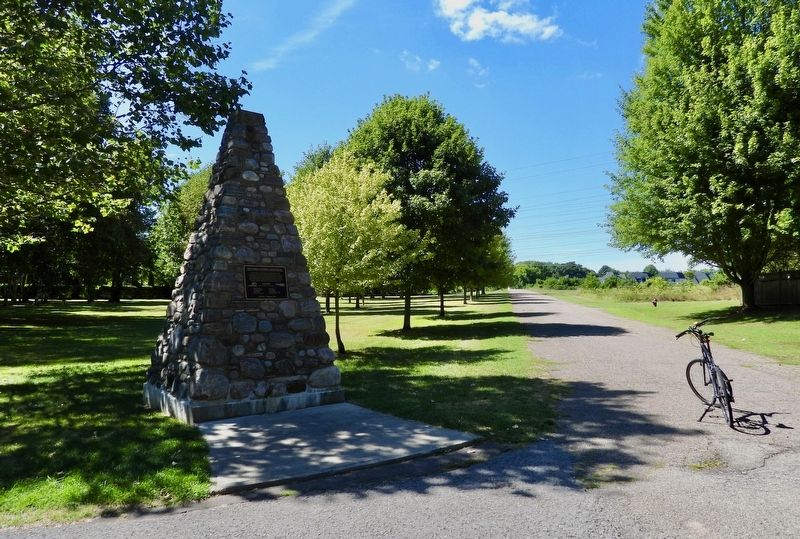
2. Ontario Hydro Memorial and Haulage Road Trail
Photo faces north-west. Bicycle for scale.
Photographed by Kevin Westell, August 18, 2025
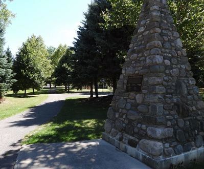
3. Ontario Hydro Memorial and Solar Park
Photo faces south. Past the playground is Jupiter Blvd.
Credits. This page was last revised on August 25, 2025. It was originally submitted on August 21, 2025, by Kevin Westell of St. Catharines, Ontario. This page has been viewed 96 times since then and 13 times this year. Photos: 1, 2, 3. submitted on August 21, 2025, by Kevin Westell of St. Catharines, Ontario. • Andrew Ruppenstein was the editor who published this page.
