Downieville in Sierra County, California — The American West (Pacific Coastal)
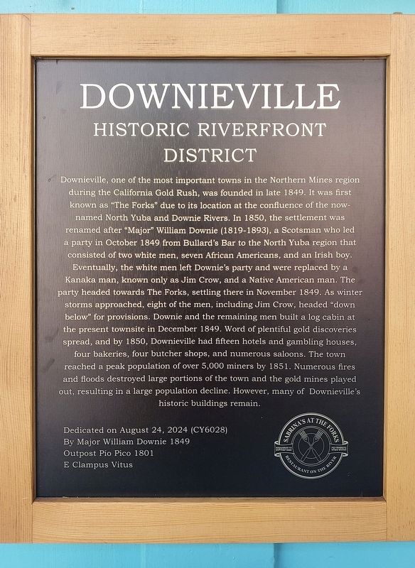
Downieville Historic Riverfront District
Photographed by Frank Gunshow Sanchez, August 22, 2025
1. Downieville Historic Riverfront District Marker
this page online
Dedicated on August 24, 2024 (CY6028)
By Major William Downie 1849
Outpost Pio Pico 1801
E Clampus Vitus
Erected by Major William Downie Chapter 1849 and Pio Pico Outpost 1801 if E Clampus Vitus.
Topics and series. This historical marker is listed in these topic lists: Industry & Commerce • Settlements & Settlers. In addition, it is included in the E Clampus Vitus series list.
Location. 39° 33.619′ N, 120° 49.667′ W. Marker is in Downieville, California, in Sierra County. It is on Main Street just east of Commercial Street, on the right when traveling east. Touch for map. Marker is at or near this postal address: 308 Main Street, Downieville CA 95936, United States of America. Touch for directions.

Regionally, this marker is in the Sierra Nevada. It is also in the American Mountain West. Globally, it is in North America, on the Ring of Fire, on the Pacific Rim, in the Western
Photographed by Frank Gunshow Sanchez, August 22, 2025
2. Downieville Historic Riverfront District Marker
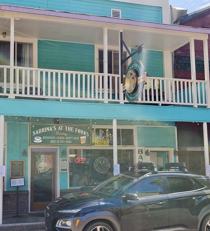
The marker is at far left.
Other nearby markers. At least 8 other markers are within walking distance of this marker: The Shooting of Thaddeus Purdy (here, next to this marker); St. Charles Hotel (a few steps from this marker); Mackerman & Company Building (a few steps from this marker); Craycroft Building (a few steps from this marker); Downieville (a few steps from this marker); Josefa Segovia (a few steps from this marker); a different marker also named Downieville Historic Riverfront District (within shouting distance of this marker); In Memory of Juanita (within shouting distance of this marker). Touch for a list and map of all markers in Downieville.

Photographed by Cory Waters, October 21, 2025
3. Downieville Historic Riverfront District Marker
Credits. This page was last revised on October 27, 2025. It was originally submitted on August 23, 2025, by Frank Gunshow Sanchez of Hollister, California. This page has been viewed 154 times since then and 26 times this year. Photos: 1, 2. submitted on August 23, 2025, by Frank Gunshow Sanchez of Hollister, California. 3. submitted on October 21, 2025, by Cory Waters of Bangor, California. • Andrew Ruppenstein was the editor who published this page.
