Rock Hill in York County, South Carolina — The American South (South Atlantic)
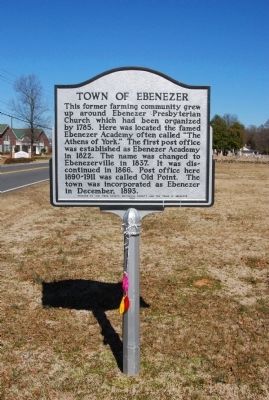
Town of Ebenezer
Erected 1960 by York County Historical Society and the Town of Ebenezer.
Topics and series. This historical marker is listed in these topic lists: Cemeteries & Burial Sites • Churches & Religion • Notable Places. In addition, it is included in the Postal Mail and Philately series list. A significant historical month for this entry is December 1893.
Location. 34° 57.948′ N, 81° 3.12′ W. Marker is in Rock Hill, South Carolina, in York County. Marker is at the intersection of Ebenezer Road and Bailey Avenue, on the left when traveling south on Ebenezer Road. Touch for map. Marker is in this post office area: Rock Hill SC 29732, United States of America. Touch for directions.
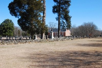
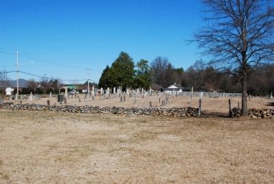
Other nearby markers. At least 8 other markers are within 3 miles of this marker, measured as the crow flies. Ebenezer Confederate Memorial (a few steps from this marker); The CCC in York County / Tom Johnston Camp, (SCS#10), CCC (approx. 0.7 miles away); Ebenezer (approx. 0.7 miles away); Columbia Seminary Chapel (approx. 2.1 miles away); First Home of Winthrop College (approx. 2.1 miles away); Jefferson Davis' Flight (approx. 2.2 miles away); McCorkle-Fewell-Long House / Oakland (approx. 2.3 miles away); President's House (approx. 2.4 miles away). Touch for a list and map of all markers in Rock Hill.
Credits. This page was last revised on June 16, 2016. It was originally submitted on March 6, 2010, by Michael Sean Nix of Spartanburg, South Carolina. This page has been viewed 1,253 times since then and 87 times this year. Photos: 1, 2, 3, 4, 5. submitted on March 6, 2010, by Michael Sean Nix of Spartanburg, South Carolina. • Bill Pfingsten was the editor who published this page.
