Mitchell in Perth County, Ontario — Central Canada (North America)
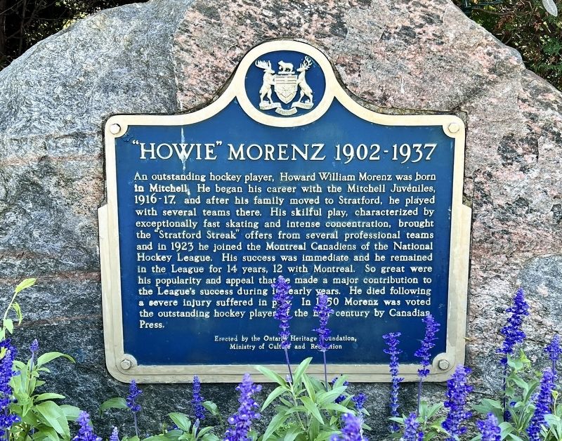
“Howie” Morentz 1902-1937
Photographed by Tim Boyd, August 22, 2025
1. “Howie” Morentz 1902-1937 Marker
Erected by Ontario Heritage Foundation.
Topics and series. This historical marker is listed in this topic list: Sports. In addition, it is included in the Canada, Ontario Heritage Trust series list. A significant historical year for this entry is 1923.
Location. 43° 28.123′ N, 81° 11.991′ W. Marker is in Mitchell, Ontario, in Perth County.
this page online

Regionally, this marker is in the Huron-Perth-Waterloo-Wellington Area and in Southwestern Ontario. It is also in Central Canada. Globally, it is in North America, the Western Hemisphere, the Western World, and the Anglosphere. Historically, it finds itself in what was once a British colony, the Viceroyalty of New France, the Haudenosaunee (Iroquois) Confederacy, and Rupert’s Land.
Other nearby markers. At least 8 other markers are within 23 kilometers of this marker, measured as the crow flies: The Founding of Mitchell (within shouting distance of this marker); First Settlers in Ellice Township (approx. 8.3 kilometers away); St. Columban Church (approx. 11.6 kilometers away); Hon. William Aberhart 1878-1943 (approx. 18 kilometers away); Seaforth Cenotaph (approx. 18.1 kilometers away); The Founding of Seaforth (approx. 18.1 kilometers
Photographed by Tim Boyd, August 22, 2025
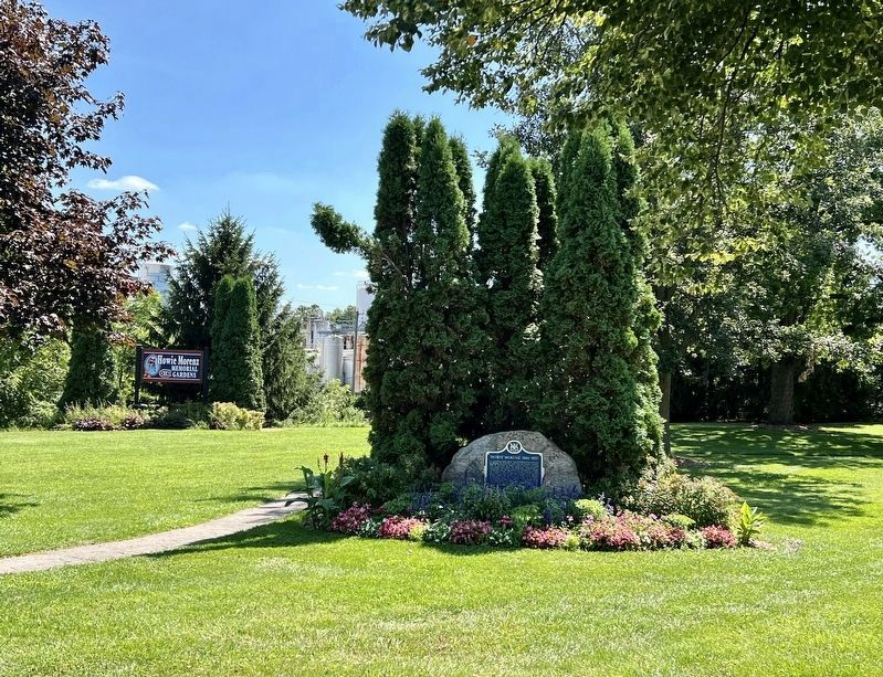
2. “Howie” Morentz 1902-1937 Marker
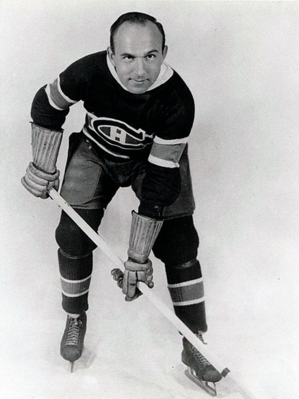
3. Howie Morentz in Montreal Canadiens uniform, c 1936
Source: Wikipedia (public domain)
Photographed by Tim Boyd, August 22, 2025
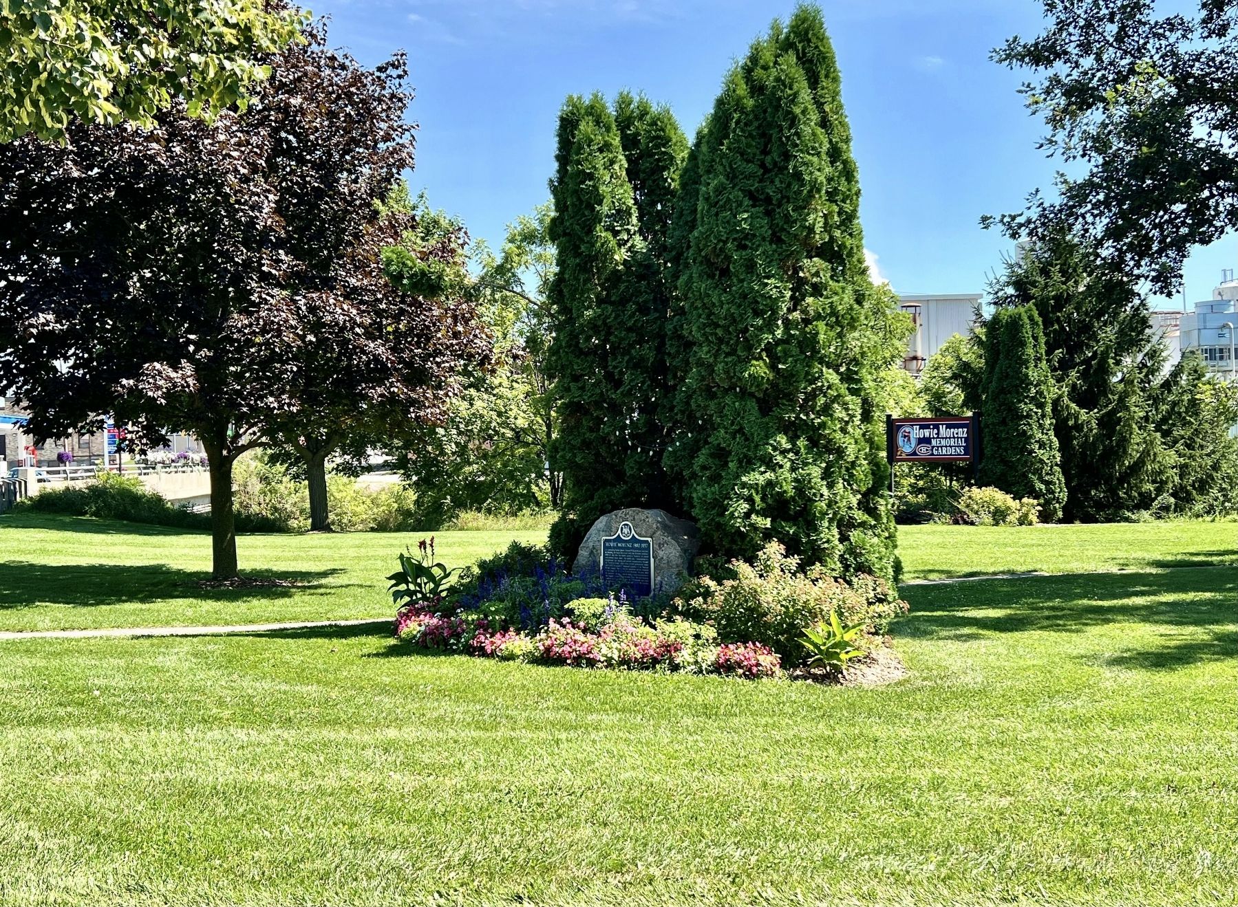
4. “Howie” Morentz 1902-1937 Marker
Looking northeast from Blanshard Street toward Huron Road
Credits. This page was last revised on August 23, 2025. It was originally submitted on August 23, 2025, by Tim Boyd of Hamilton, Ontario. This page has been viewed 60 times since then and 12 times this year. Photos: 1, 2, 3, 4. submitted on August 23, 2025, by Tim Boyd of Hamilton, Ontario. • Andrew Ruppenstein was the editor who published this page.
