Elkhart Township in Goshen in Elkhart County, Indiana — The American Midwest (Great Lakes)
The Lincoln Highway
The Land of Goshen, Indiana

Photographed by Tom Bosse, August 8, 2025
1. The Lincoln Highway Marker
Goshen, Indiana
The Maple City
Until the early 1800’s, the original inhabitants of the Goshen area were the Potawatomi Indians. It was a little more than a decade after Indiana became a state in 1816, before pioneers began settling in the area known as the Elkhart Prairie. Around 1829, there were enough settlers to create a county and on April 1, 1830, Elkhart County was officially established; the city of Goshen was platted in 1831.
In 1913, Goshen was one of the fortunate cities that was named as part of the route for the Lincoln Highway. The population of Goshen at that time was 10,000.
In nearly every community along the route of the Lincoln Highway, there was a Control Station where the traveler could check in, ask questions, or reset their odometer to coordinate with the guidebooks which were periodically published by the Lincoln Highway Association.
An individual, called a Consul, was selected in the various cities and towns along the route, who was available to provide local information to travelers on supplies, meals, lodging, and very importantly…road conditions ahead. In Goshen around 1914, that
this page online
[Caption]: Charles E. Gorham
June 16, 1863 – February 27, 1952
Consul for the LHA in Goshen
Vice President of Goshen Veneer Co.
Vice President of the News Printing Co.
The image on the left was believed to have been taken on Madison St. during the one-year anniversary of the Lincoln Highway in 1914. The image on the right shows the official LHA Packard near a Lincoln Highway sign at an unidentified location in Goshen.
Newspaper article on September 8, 1914 – “Five ornamental Lincoln highway signs for the guidance of auto tourists have been placed in this city, two at Main and Pike Streets, two at Main and Madison Streets and one at the Wurster turn.” This turn is across from the Goshen High School and is 11th and Madison Streets (approximately 1.3 miles north of where you are now).
The route through Goshen and then on to Elkhart changed several times before U.S. 33 was constructed. At one time, a detour route was necessary because the double-span iron truss bridge over the Elkhart River on Pike Street (two photos on
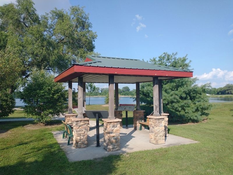
Photographed by Tom Bosse, August 8, 2025
2. The Lincoln Highway Marker
Built in 1896 for the Cosmo Buttermilk Soap Co., the building was converted in 1910 to the Chicago-Detroit Bag Co. and in 1924, the Chase Bag Co. used the building. The range of bags extended from waterproof burlap sacks to the fine, sheer paper used in Hershey’s Kiss wrappers.
With better roads and more freedom to travel, tourism began to boom by the 1920’s. People traveled farther from home and the need for overnight lodging became more important than ever.
As a result, tourist camps began springing up along the road in local communities where auto travelers could camp for the night. Providing a campground for tourists brought economic advantages to local businesses and also helped prevent unwanted tourists from “squatting” on private property.
Goshen allowed the use of Rogers Park at Pike and Chicago Avenue for a Tourist Camp. Hotel rooms were available downtown for $2 and $3 per
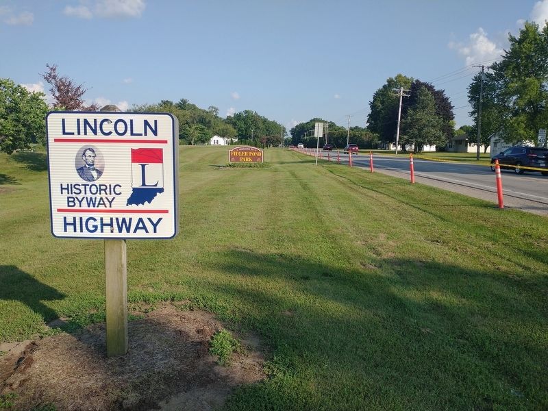
Photographed by Tom Bosse, August 8, 2025
3. The Lincoln Highway
• 1830 – Elkhart formed by the Indiana General Assembly
• First count seat located in Concord Township
• 1831 – County commissioners relocated county seat to Goshen
• 1833 – First brick courthouse built
• 1870 – Second brick courthouse built
• 1909 – Courthouse redesigned and enlarged incorporating original 1870 clock
• 1910 – Candy maker Joseph Polezoes arrive in Goshen and opened a store downtown
• 1912 – Polezoes presents city with Neptune Fountain as a gift
• 1939 – Goshen Police Booth constructed as a Works Progress Administration (WPA) project
To find a service station in the middle of a downtown retail district might seem odd today but not during the years of 1910-1960. This building with its artistic façade can still be found downtown at 224 South Main Street.
Rieth-Riley Construction Company
Albert A. Rieth established the firm in 1916 in Goshen and was joined two years later by partner George Riley. Albert first conducted business out of his home and eventually established their first offices in Goshen at 115 E. Washington Street.
In 1919, Rieth-Riley submitted a bid for
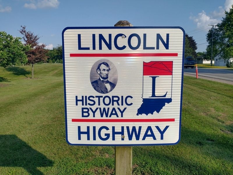
Photographed by Tom Bosse, August 8, 2025
4. The Lincoln Highway
In 1985, Rieth-Riley became one of the first employee-owned construction companies in the United States.
Photo Credits –
Map, Charles Gorham, Auto Images with signage, Control Station sign, and two Bridge images with Autos: Courtesy of the University of Michigan Special Collections Library.
Rogers Park photo, Service Station Images, Bag Factory, and 1914 Auto Parade: Courtesy of Goshen Historical Museum.
Rogers Park postcard, Pike Street Bridge (river view), Courthouse, and Neptune: Courtesy of Dan West Postcard Collection.
Road Construction Images and Log pages: Courtesy of Rieth-Riley and Karla Rieth.
Topics and series. This historical marker is listed in this topic list: Settlements & Settlers. In addition, it is included in the Lincoln Highway series list. A significant historical date for this entry is February 27, 1952.
Location. 41° 34.272′ N, 85° 48.549′ W. Marker is in Goshen, Indiana, in Elkhart County. It is in Elkhart Township.
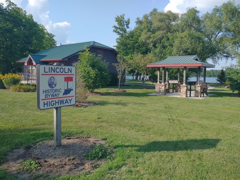
Photographed by Tom Bosse, August 8, 2025
5. The Lincoln Highway Marker

Regionally, this marker is in Northern Indiana and in Greater South Bend. It is also in the American Midwest and in the Corn Belt. Globally, it is in North America, the Western Hemisphere, the Western World, and the Anglosphere. Historically, it finds itself in what was once the territory of the Mississippian Culture and also the Northwest Territory.
Other nearby markers. At least 8 other markers are within 2 miles of this marker, measured as the crow flies: A different marker also named The Lincoln Highway (here, next to this marker); a different marker also named The Lincoln Highway (here, next to this marker); a different marker also named The Lincoln Highway (here, next to this marker); The Site of Fort Beane (approx. 0.7 miles away); Goshen College (approx. 0.8 miles away); A History of the Winona (approx. 1.1 miles away); Madison Street School and Chandler School (approx. 1.2 miles away); Pioneer Dierdorff Cemetery Folk Lore
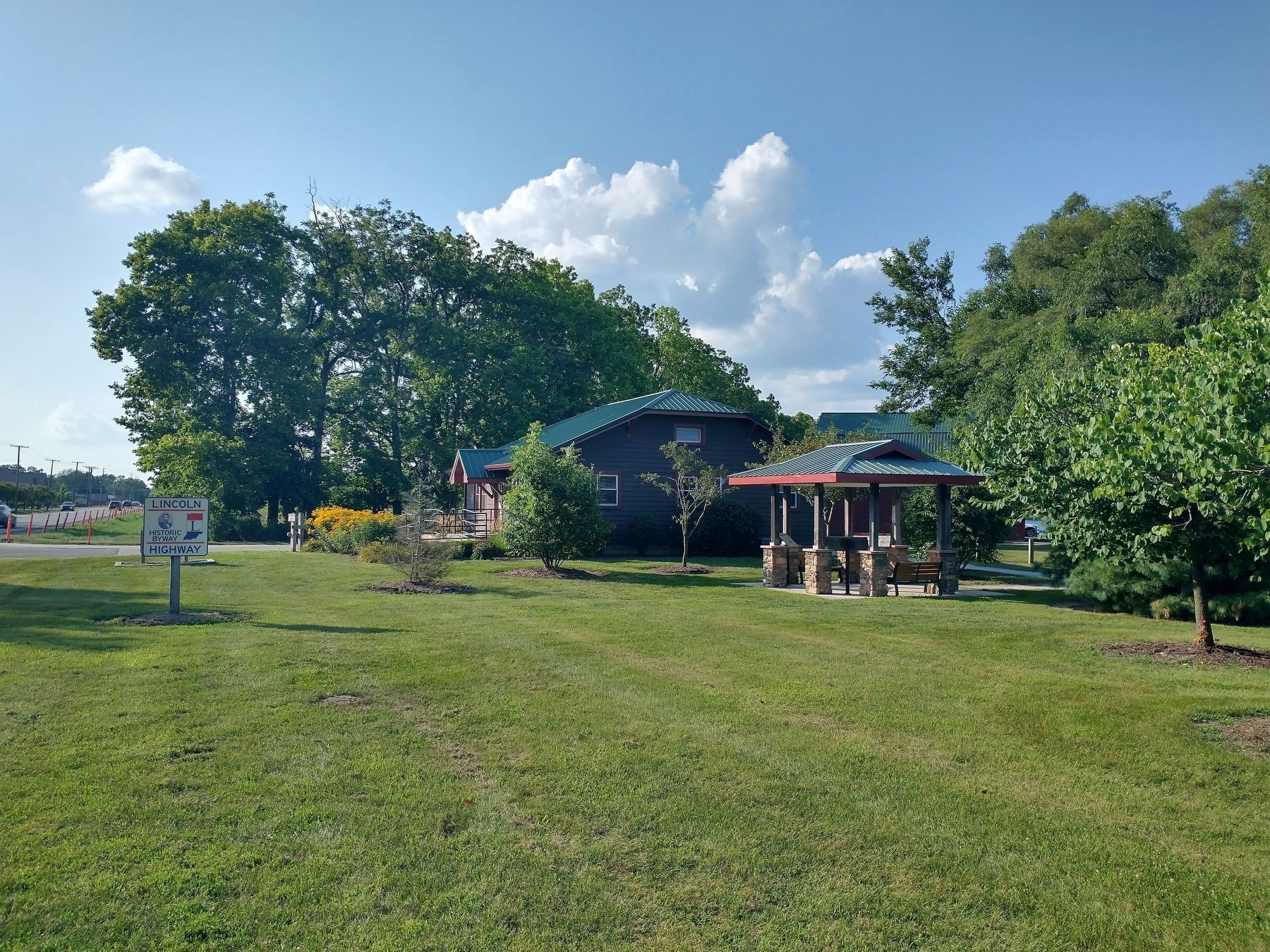
Photographed by Tom Bosse, August 8, 2025
6. The Lincoln Highway Marker
Related markers. Click here for a list of markers that are related to this marker.
Also see . . . Lincoln Highway Association. (Submitted on August 23, 2025, by Tom Bosse of Jefferson City, Tennessee.)
Credits. This page was last revised on February 23, 2026. It was originally submitted on August 23, 2025, by Tom Bosse of Jefferson City, Tennessee. This page has been viewed 179 times since then and 59 times this year. Photos: 1, 2, 3, 4, 5, 6. submitted on August 23, 2025, by Tom Bosse of Jefferson City, Tennessee. • Andrew Ruppenstein was the editor who published this page.
