
Ketchikan in Ketchikan Gateway Borough, Alaska — Northwest (North America)
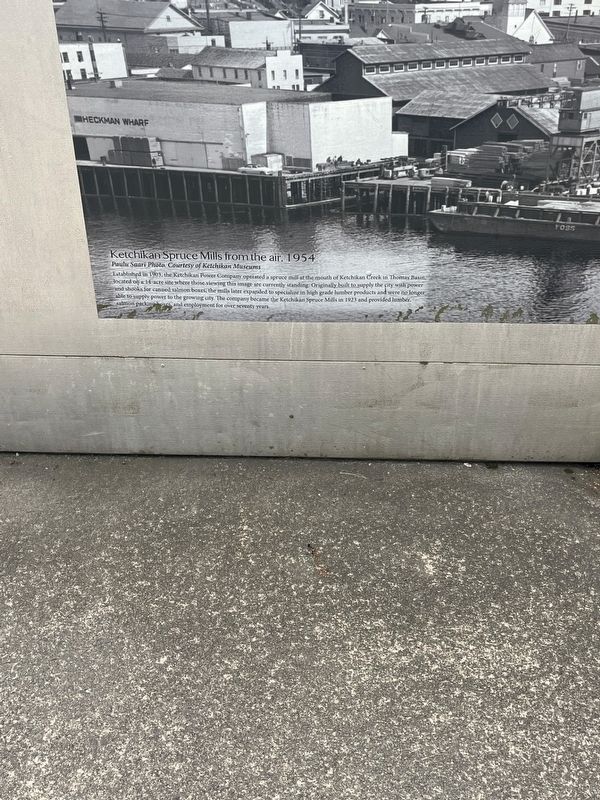
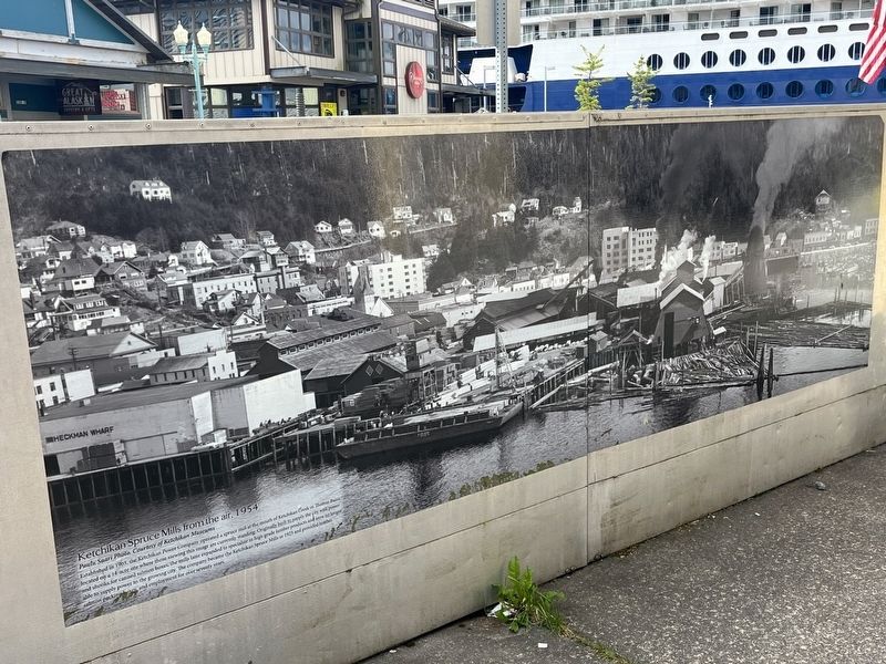
Ketchikan Spruce Mills from the air, 1954
Photographed by Thomas Smith, August 13, 2025
1. Ketchikan Spruce Mills from the air, 1954 Marker
Ketchikan Spruce Mills from the air. 1954
Paulu Saari Photo Courtesy of Ketchikan Museums
Established in 1903, the Ketchikan Power Company operated a spruce mill at the mouth of Ketchikan Creek in Thomas Basin located on a 14 acre site where those viewing this image are currently standing. Originally built to supply the city with power and shooks for canned salmon boxes, the mills later expanded to specialize in high grade lumber products and were no longer able to supply power to the growing city. The company became the Ketchikan Spruce Mills in 1923 and provided lumber, salmon packing boxes, and employment for over seventy years.
Topics. This historical marker is listed in this topic list: Industry & Commerce. A significant historical year for this entry is 1903.
Location. 55° 20.403′ N, 131° 38.682′ W. Marker is in Ketchikan, Alaska, in Ketchikan Gateway Borough. It is on Spruce Mill Way 0.1 miles west of Main Street, on the right when traveling east. On the dock in front of the Christmas in Alaska Store. Touch for map. Marker is in this post office area: Ketchikan AK 99901, United States of America. Touch for directions.

Regionally,
this page online
Other nearby markers. At least 8 other markers are within walking distance of this marker: An Underwater Discovery (a few steps from this marker); Three steamers on the Ketchikan waterfront, 1911 (within shouting distance of this marker); Spirit & Sparks (about 400 feet away, measured in a direct line); South Front Street (about 400 feet away); Trials by Fire (about 400 feet away); Ketchikan Waterfront from Pennock Island, 1905 (about 600 feet away); Crossing a Frontier (about 700 feet away); Sea and Skyline (about 700 feet away). Touch for a list and map of all markers in Ketchikan.
Photographed by Thomas Smith, August 12, 2025
2. Ketchikan Spruce Mills from the air, 1954 Marker
Credits. This page was last revised on August 24, 2025. It was originally submitted on August 23, 2025, by Thomas Smith of Waterloo, Ill. This page has been viewed 99 times since then and 30 times this year. Photos: 1, 2. submitted on August 23, 2025, by Thomas Smith of Waterloo, Ill. • Andrew Ruppenstein was the editor who published this page.
