Crow Wing State Park in Crow Wing County, Minnesota — The American Midwest (Upper Plains)
Lutheran Mission Monument
Photographed by McGhiever, June 28, 2025
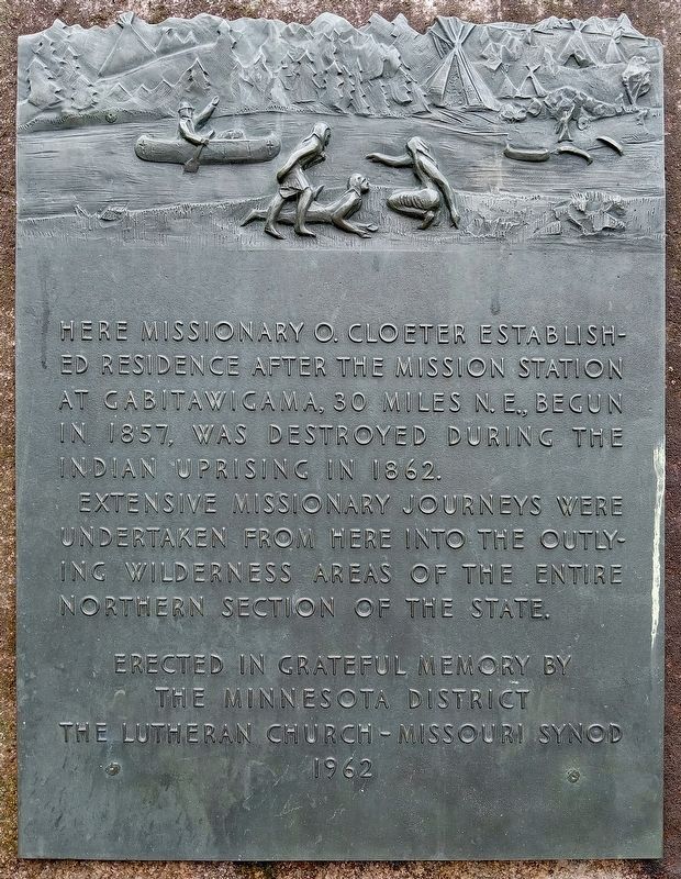
1. Lutheran Mission Marker
Here missionary O. Cloeter established residence after the mission station at Gabitawigama, 30 miles N.E., begun in 1857, was destroyed during the Indian uprising in 1862.
Extensive missionary journeys were undertaken from here into the outlying wilderness areas of the entire northern section of the state.
the Minnesota District
The Lutheran Church Missouri Synod
1962
Erected 1962 by Minnesota District, Lutheran Church Missouri Synod.
Topics. This historical marker and monument is listed in this topic list: Religion & Religious Structures. A significant historical year for this entry is 1862.
Location. 46° 16.608′ N, 94° 20.007′ W. Marker is in Crow Wing, Minnesota, in Crow Wing County. It is in Crow Wing State Park. It can be reached from the road to the north picnic area, on the right when traveling north. The marker is on a short trail from the pullout marked "Lutheran Mission". Touch for map. Marker is in this post office area: Brainerd MN 56401, United States of America. Touch for directions.

Regionally, this marker and monument is in the Northland. It is also in the American
this page online
Other nearby markers. At least 8 other markers are within walking distance of this marker: Lutheran Mission (a few steps from this marker); District One School (about 300 feet away, measured in a direct line); Chapel of St. Francis Xavier (about 600 feet away); Mississippi River (approx. 0.2 miles away); Learning About The Past (approx. 0.2 miles away); The Meeting Place (approx. 0.2 miles away); Boardwalk (approx. 0.2 miles away); A Community Forms (approx. 0.2 miles away). Touch for a list and map of all markers in Crow Wing.
Also see . . . Ernst Ottomar Cloeter biography from the Missouri Synod. (Submitted on August 25, 2025, by McGhiever of Minneapolis, Minnesota.)
Photographed by McGhiever, June 28, 2025
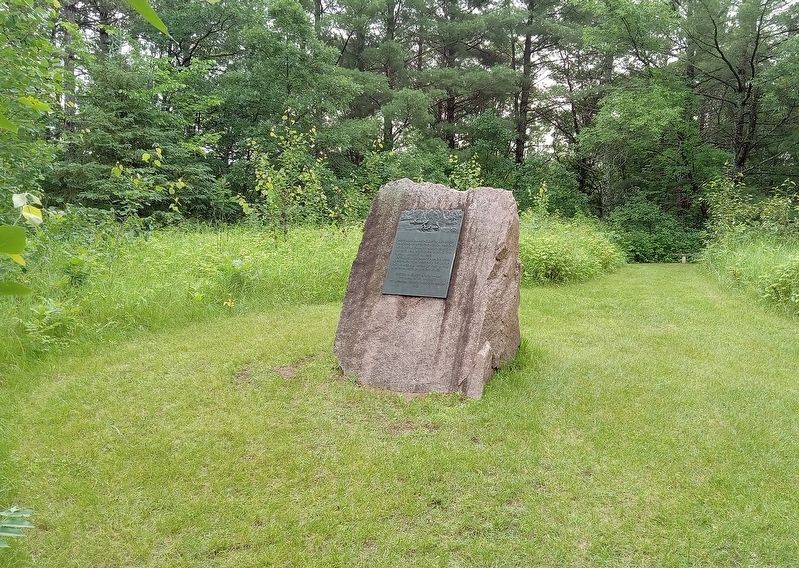
2. Lutheran Mission Monument in Crow Wing State Park
Credits. This page was last revised on March 1, 2026. It was originally submitted on August 25, 2025, by McGhiever of Minneapolis, Minnesota. This page has been viewed 98 times since then and 30 times this year. Photos: 1, 2. submitted on August 25, 2025, by McGhiever of Minneapolis, Minnesota.
