Goderich in Huron County, Ontario — Central Canada (North America)
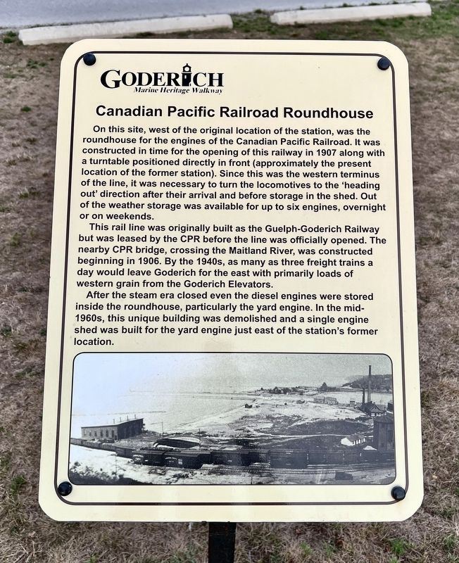
Canadian Pacific Railroad Roundhouse
| — | Goderich Marine Heritage Walkway | — |
Photographed by Tim Boyd, August 22, 2025
1. Canadian Pacific Railroad Roundhouse Marker
This rail line was originally built as the Guelph-Goderich Railway but was leased by the CPR before the line was officially opened. The nearby CPR bridge, crossing the Maitland River, was constructed beginning in 1906. By the 1940s, as many as three freight trains a day would leave Goderich for the east with primarily loads of western grain from the Goderich Elevators.
After the steam era closed even the diesel engines were stored inside the roundhouse, particularly the yard engine. In the mid-1960s, this unique building was demolished and a single engine
this page online
Topics. This historical marker is listed in this topic list: Railroads & Streetcars. A significant historical year for this entry is 1907.
Location. 43° 44.571′ N, 81° 43.564′ W. Marker is in Goderich, Ontario, in Huron County. It is on Cove Road 0.2 kilometers south of Harbour Street, on the right when traveling south. Touch for map. Marker is at or near this postal address: 2 Cove Road, Goderich ON N7A N7A, Canada. Touch for directions.

Regionally, this marker is in the Huron-Perth-Waterloo-Wellington Area and in Southwestern Ontario. It is also in Central Canada. Globally, it is in North America, on the Great Lakes, in the Western Hemisphere, in the Western World, and in the Anglosphere. Historically, it finds itself in what was once a British colony, the Viceroyalty of New France, the Haudenosaunee (Iroquois) Confederacy, and Rupert’s Land.
Other nearby markers. At least 8 other markers are within walking distance of this marker: Former Canadian Pacific Railway Station (a few steps from this marker); Captains Babb’s Bathing House (about
Photographed by Tim Boyd, August 22, 2025
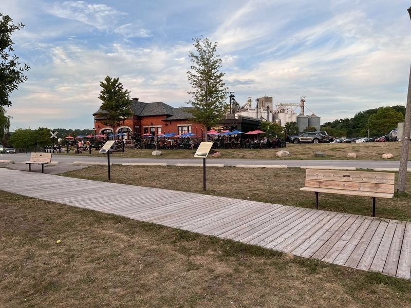
2. Canadian Pacific Railroad Roundhouse Marker
Centre of photo
Credits. This page was last revised on August 27, 2025. It was originally submitted on August 26, 2025, by Tim Boyd of Hamilton, Ontario. This page has been viewed 80 times since then and 16 times this year. Photos: 1, 2. submitted on August 26, 2025, by Tim Boyd of Hamilton, Ontario. • Andrew Ruppenstein was the editor who published this page.
