Fox Creek in Conejos County, Colorado — The American Mountains (Southwest)
Turntable Site
Getting turned around
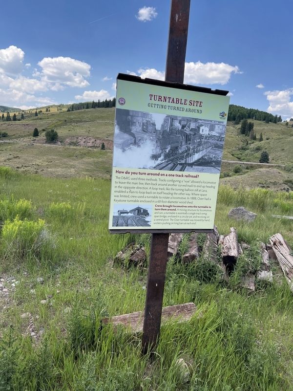
Photographed by Sandra Hughes Tidwell, August 7, 2025
1. Truntable Site Marker
How do you turn around on a one-track railroad?
The D&RG used three methods. Tracks configuring a "wye" allowed a locomotive to leave the main line, then back around another curved track to end up heading in the opposite direction. A loop track, like the turning balloon still at Lava, enabled a train to loop back on itself, heading the other way. Where space was limited, the crew used a turntable to rotate a locomotive. In 1888, Osier had a Keystone turntable enclosed in a 60-foot-diameter wood shed.
Crews brought locomotives onto the turntable to turn them around. A moving structure for locomotives and cars, a turnable is essentially a single-track swing span bridge, enclosed in a circular pit, and revolving on a central pivot. The Osier turntable was moved by hand, workers pushing on long bars at each end.
Topics. This historical marker is listed in this topic list: Railroads & Streetcars. A significant historical year for this entry is 1888.
Location. 37° 0.823′ N, 106° 20.179′ W. Marker is in Fox Creek, Colorado, in Conejos County. It is on Fdr 103. Touch for map. Marker is at or near this postal address:
this page online

Regionally, this marker is in the San Juan Mountains and in the San Luis Valley. It is also in the American Mountain West. Globally, it is in North America, the Rocky Mountains, the Western Hemisphere, the Western World, and the Anglosphere. Historically, it finds itself in what was once New Spain and also the Republic of Texas.
Other nearby markers. At least 8 other markers are within walking distance of this marker: Bunkhouse Site (a few steps from this marker); Osier, Colorado (a few steps from this marker); Coal Platform (a few steps from this marker); Depot (a few steps from this marker); Railroad Quarters (within shouting distance of this marker); The Old Toll Road (within shouting distance of this marker); Gravity Fed Water Tank (within shouting distance of this marker); Livestock Loading Pens (about 500 feet away, measured in a direct line). Touch for a list and map of all markers in Fox Creek.
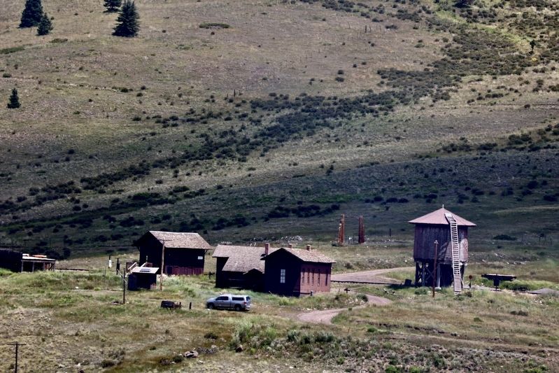
Photographed by Sandra Hughes Tidwell, August 7, 2025
2. Truntable Site Marker
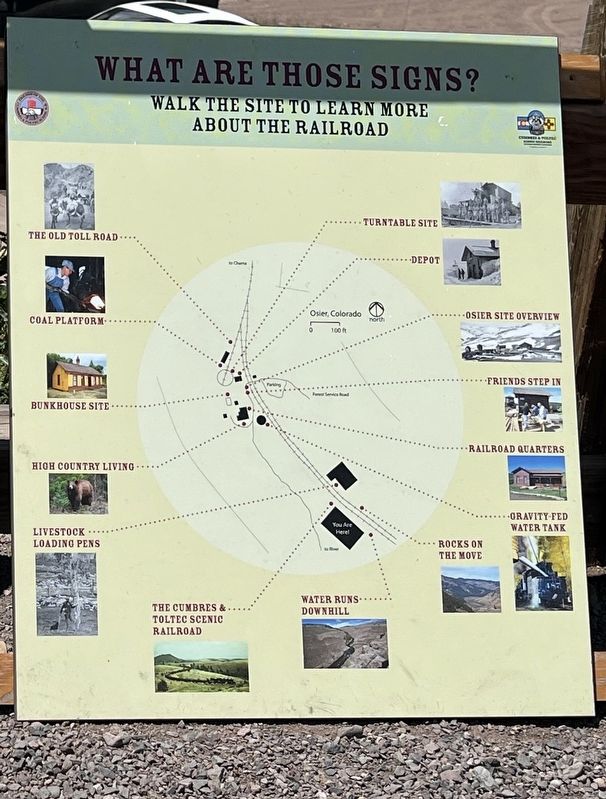
Photographed by Sandra Hughes Tidwell, August 7, 2025
3. Turntable Site Marker
Credits. This page was last revised on August 28, 2025. It was originally submitted on August 27, 2025, by Sandra Hughes Tidwell of Killen, Alabama, USA. This page has been viewed 108 times since then and 19 times this year. Photos: 1, 2, 3. submitted on August 27, 2025, by Sandra Hughes Tidwell of Killen, Alabama, USA. • Andrew Ruppenstein was the editor who published this page.
