Fox Creek in Conejos County, Colorado — The American Mountains (Southwest)
Coal Platform
Burning Coal to Make Steam

Photographed by Sandra Hughes Tidwell, August 7, 2025
1. Coal Platform Marker
We burn coal to boil water to make steam, to drive the pistons, to turn the wheels, to make our locomotives go, go, go!
Coal was the lifeblood of the D&RG and still fuels the C&TSRR. Coal platforms like this one dotted the line. Crews shoveled coal onto the platforms by hand from an adjacent gondola and then, as needed, into locomotive tenders parked below. At Osier, the D&RG also stockpiled coal to power snow removal equipment, supply stranded trains, and heat Osier buildings.
Unlike earlier D&RG wood-burners, locomotives on the Cubres Pass Line always burned coal. In 1871, Baldwin Locomotive No. 1 burned "soft coal", as did all subsequent locomotives. Coal burns more efficiently than wood and throws off fewer sparks, lessening the danger of wildfires.
Topics. This historical marker is listed in this topic list: Railroads & Streetcars. A significant historical year for this entry is 1871.
Location. 37° 0.83′ N, 106° 20.169′ W. Marker is in Fox Creek, Colorado, in Conejos County. It is on Fdr 103. Touch for map. Marker is at or near this postal address: 1400 Fdr 103, Antonito CO 81120, United States of America. Touch for directions.

Regionally,
this page online
Other nearby markers. At least 8 other markers are within walking distance of this marker: Depot (here, next to this marker); Turntable Site (a few steps from this marker); The Old Toll Road (a few steps from this marker); Osier, Colorado (a few steps from this marker); Bunkhouse Site (within shouting distance of this marker); Gravity Fed Water Tank (within shouting distance of this marker); Railroad Quarters (within shouting distance of this marker); Livestock Loading Pens (about 500 feet away, measured in a direct line). Touch for a list and map of all markers in Fox Creek.
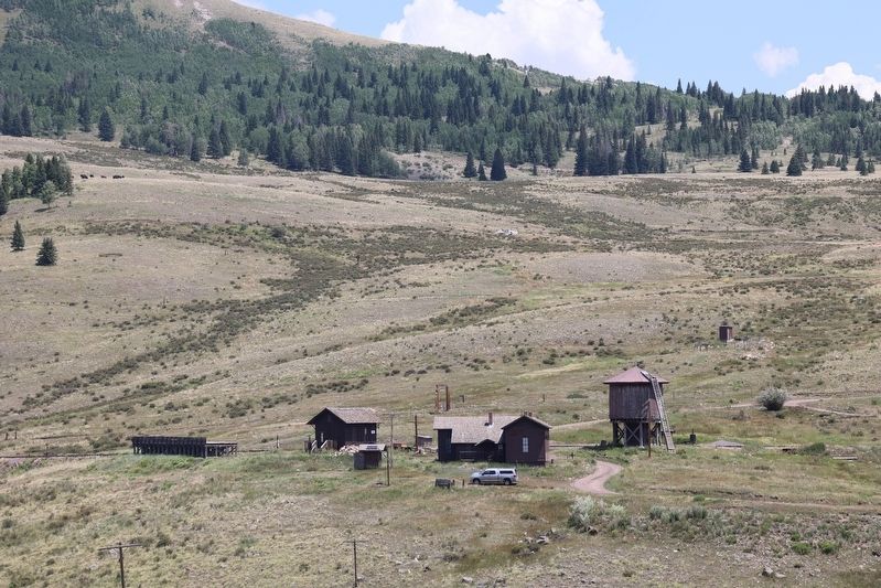
Photographed by Sandra Hughes Tidwell, August 7, 2025
2. Coal Platform Marker
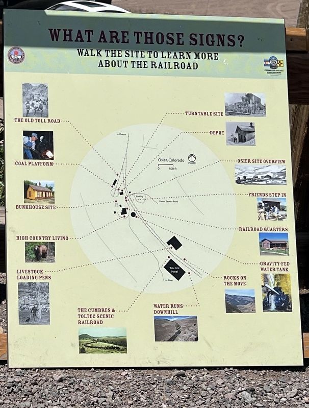
Photographed by Sandra Hughes Tidwell, August 7, 2025
3. Coal Platform Marker
Credits. This page was last revised on August 28, 2025. It was originally submitted on August 27, 2025, by Sandra Hughes Tidwell of Killen, Alabama, USA. This page has been viewed 64 times since then and 16 times this year. Photos: 1, 2, 3. submitted on August 27, 2025, by Sandra Hughes Tidwell of Killen, Alabama, USA. • Andrew Ruppenstein was the editor who published this page.
